drum118
Superstar
I thought there was a thread for this site, but not showing up if so. If so, move this to there.
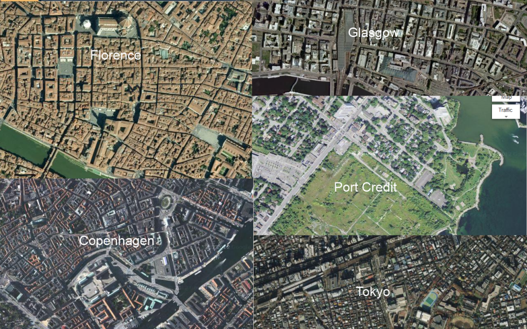
Imperial Oil is undertaking an EA for the 75 acres that are vacant and have sat that way for over the past 22 years. They had no interest in selling the land due to the decontamination of the land from the oil tank farm and refinery as well being liable for it if they sold it even after 30 years in doing so. Imperial is now interest in developing these lands and it would have a major impact on both Port Credit as well Mississauga.
Over the last 3 days, there has been Community Waterfront Workshops meetings, tours with a design charrette on Sat for both the Port Credit Imperial Oil Lands and the Marina.
At the Sat charrette, the group was broken up into 3 groups to come up with a vision for both sites.
Since there is a team and study underway for One Port St, the focuses was more on the Imperial Site.
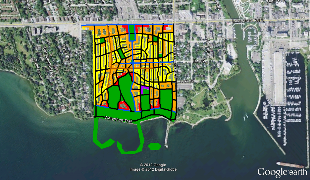
There were 3 plans/ideas developed for this site and have to say our small group had the best plan.
Since its going to cost over $150 million dollars to remove the soil, the idea was to look at the worst area and remove it by building a underground parking area for all the cars for the new development as well visitors and an area to store the boat trailers for day boaters. For boat staying for a long time would require the trailer to be store elsewhere. A new boat launch would have to be built.
Parking requirement would be 50% or less for the development since LRT will be at the centre of it and GO Transit within walking distance as well the #14 & #23 bus that goes to the station also.
The idea would now see the LRT cross the mouth of the Port Credit River from the One Port Development, along the south side of the existing street next to the existing park to the centre of the land where it would turn north to Lakeshore for a future expansion to the west. The north leg would be protected for this expansion. A new station would be built on one of the legs at the centre of the lands. The new bridge can have a walkway beside it for cycles and pedestrians.
A new bike/pedestrian bridge would be built south of the RR bridge with room for the future 4th track. This would create a faster and shorter route to the GO Station for the whole area. All 3 groups wanted to see a road bridge here, but I don't support it, as it should be further north and long over due. A few were calling for this new road bridge to be a new road to go west along the side of the corridor and shows how little they know about that area. Can be done, but tear a huge numbers of homes doing so. It should have been done before these homes were first built as this area is land lock with only one east-wast road which is Lakeshore.
This new bike/pedestrian bridge would help to open the under use employment land next to the rail corridor at Mississauga Rd.
The high density would be in the centre area and slope toward Lakeshore and the communities east/west of it and would be an mix use. A X campus would be nice for the north east corner. A green area would run from about Lakeshore to the lake in the centre as well within 500' of the water edge for the full width, as well part of the north west area. This would cut down on the need to remove existing soil with new soil on top of it. This depends on the results of the EA. Various types of sport fields would be in this park area, since this area is lacking them now.
A new marina would go into the deep water area where boats once dock. A new island would be built out from the current point to block the water from the boater. A new step stair that people can set on be built at the west side that allow people to meet the water and this area is where the lake water is very shallow. The current point can be made into a number of thing to an all year round viewing tower for all types of weather.
I have to say our group vision was very bold and will have to wait until the team comes back next year with 3 options for the site based on the impute of everyone over the last 3 days.
We have also recommended that Lakeshore be reduces to 2 lanes of traffic with the other lanes turnover to transit/cycling/pedestrians to cut down on the through traffic not using the QEW in the first place. This would see on street parking remove also. This was echo by other groups to a point, since a trail test was done not to long ago, with next to no issues for it.
One question was asked by the planner if this area would represent a regional park and the answer was yes.
Art work, skating rink, trees, flowers, overnight camp ground and the list goes on as what would be nice for this site.
Lakeshore development would be mix with 4-8 storey buildings set 5m back from the road edge.
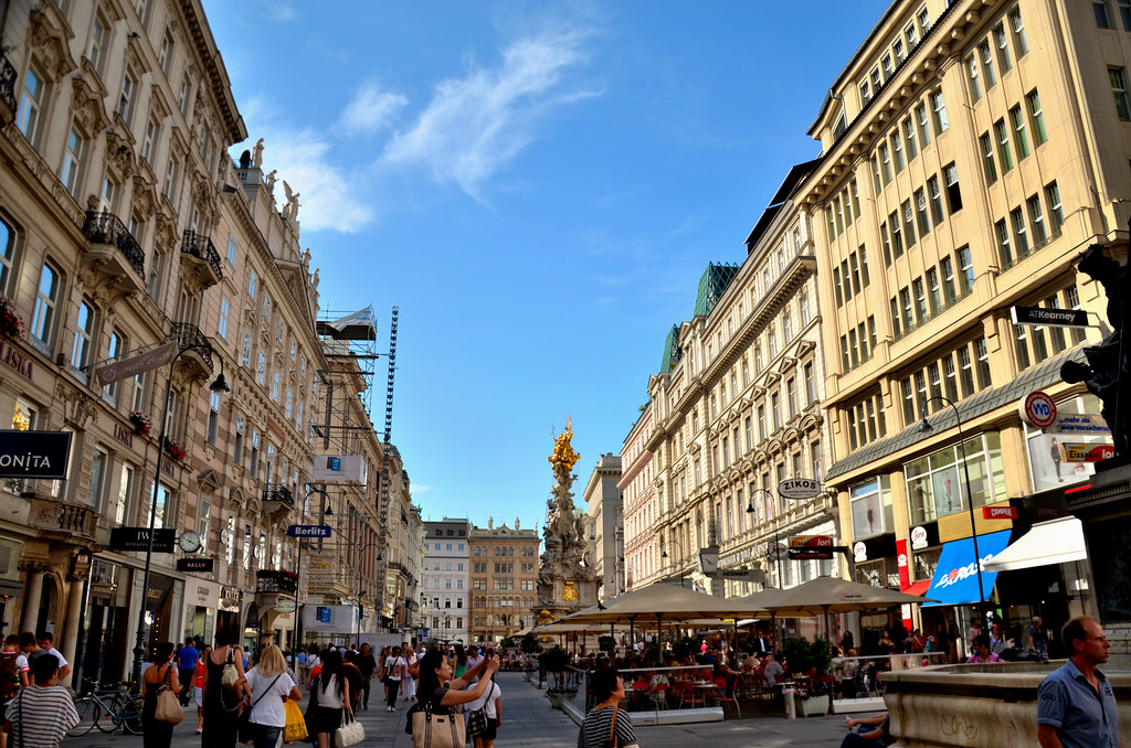
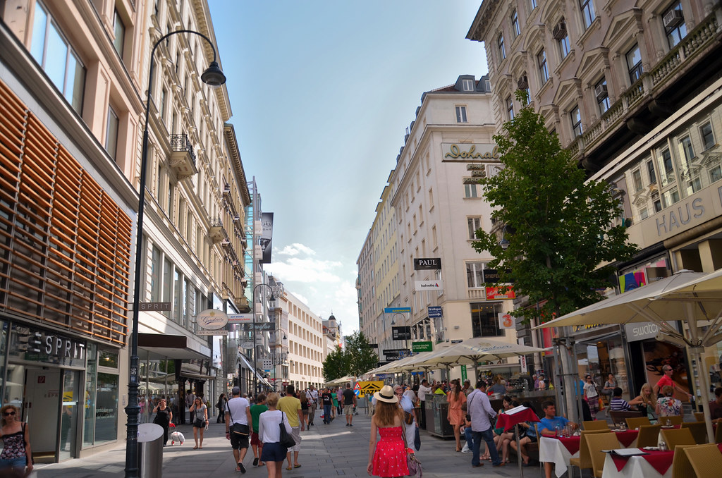
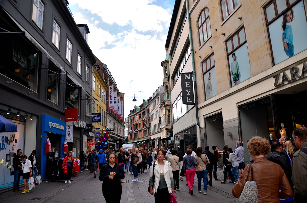
Since parking is underground, there would only be pedestrian roads on the surface as a grid system to being the building close together like a lot of streets found in Europe that have no traffic on them today. Copenhagen Denmark is one good example as well Glasgow Scotland that I saw on my trip as front runners.
We also recommended that the eastern break-wall for the marina be fix as a walkway out to the ship and it be made a public art to the point it would be a fishing pier as well as place to sit and watch the skyline and water. Again a small island next to the break-wall from the shore was requested. More posting on it under its thread.
It will be interesting to see what show up next and how those 3 option can be roll into one plan as well getting off the board, this will have a huge impact on the city. Water taxis will be showing up from all over the place as well a few small cruse ships.
Last edited:
