


DSCToronto
Superstar
Member Bio
- Joined
- Jan 13, 2008
- Messages
- 22,221
- Reaction score
- 36,525
- Location
- St Lawrence Market Area
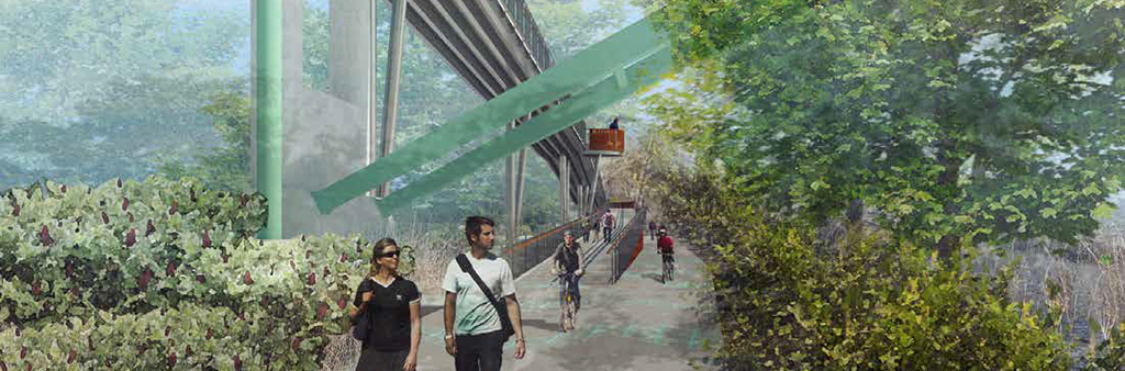
I think not, the (already built, if not 100% finished) ramp runs from the pedestrian bridge linking Riverdale East with Riverdale West (the green pedestrian bridge) which is to right side of photo. The ramp is in addition to the stairs which remain. The ramp ends at 'trail level' on left side of (excellent) photo just at the (existing) Don River bridge.Nice picture. Hate to break it to you, but the visible part of the ramp is only half of it. The other half will go from the switchback at the lefthand side back towards the green pedestrian bridge, in order to get down to the trail at ground level. So, opening around 2028 might be a wee bit ambitious.