WislaHD
Superstar
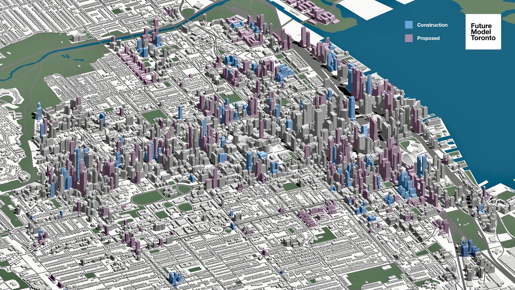
Regent Park seems like an obvious hole, but not one where the city development application website is particularly forgiving about.Any suggestions for future graphics? Provided the data is easily available
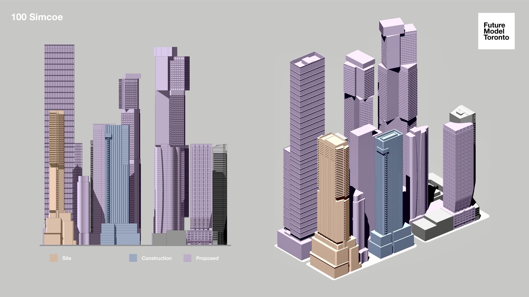
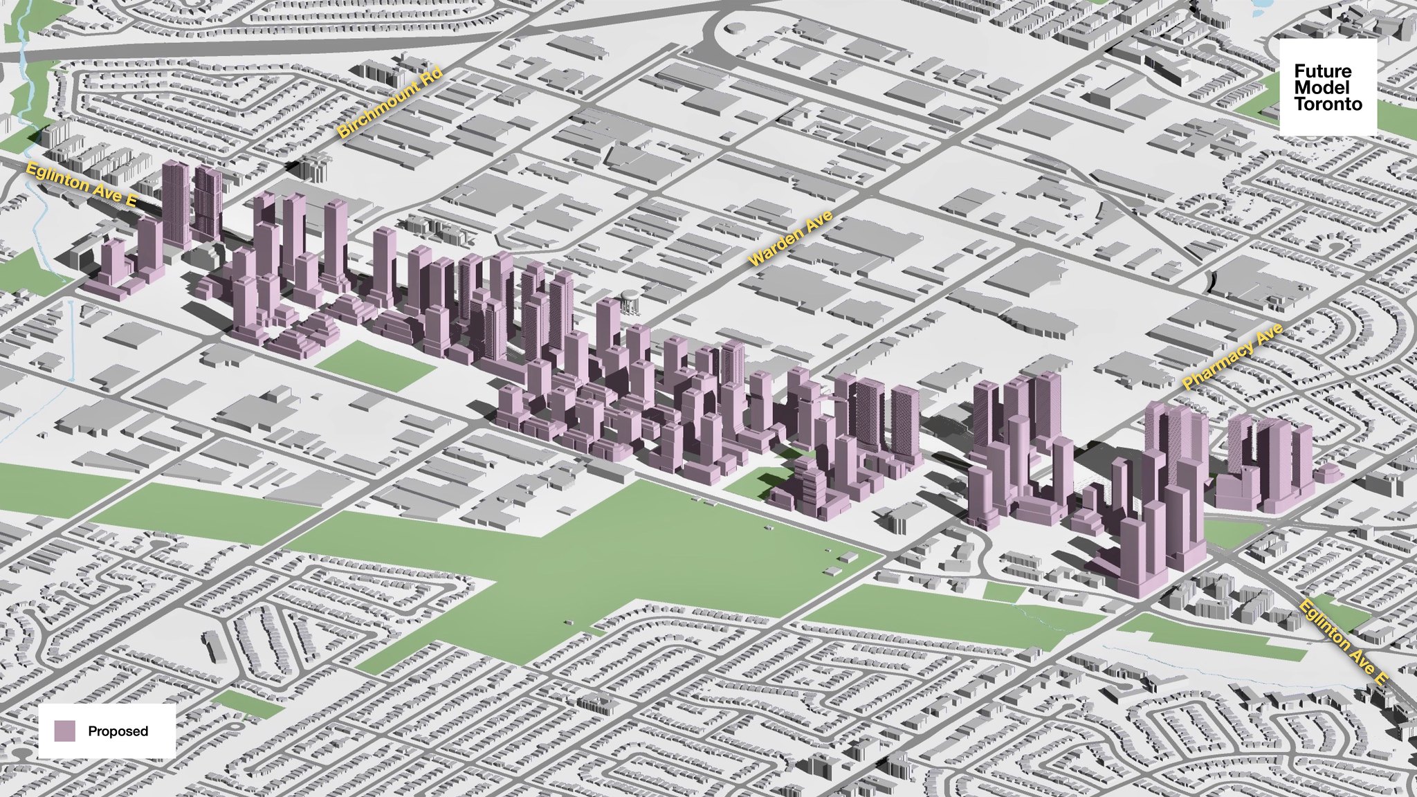
Not much in the way of massing details, but we do know how the block plan will eventually look like: See Link
")