


TheSixLover
New Member
I don't see 160 Front West on here.
|
|
|
I don't see 160 Front West on here.
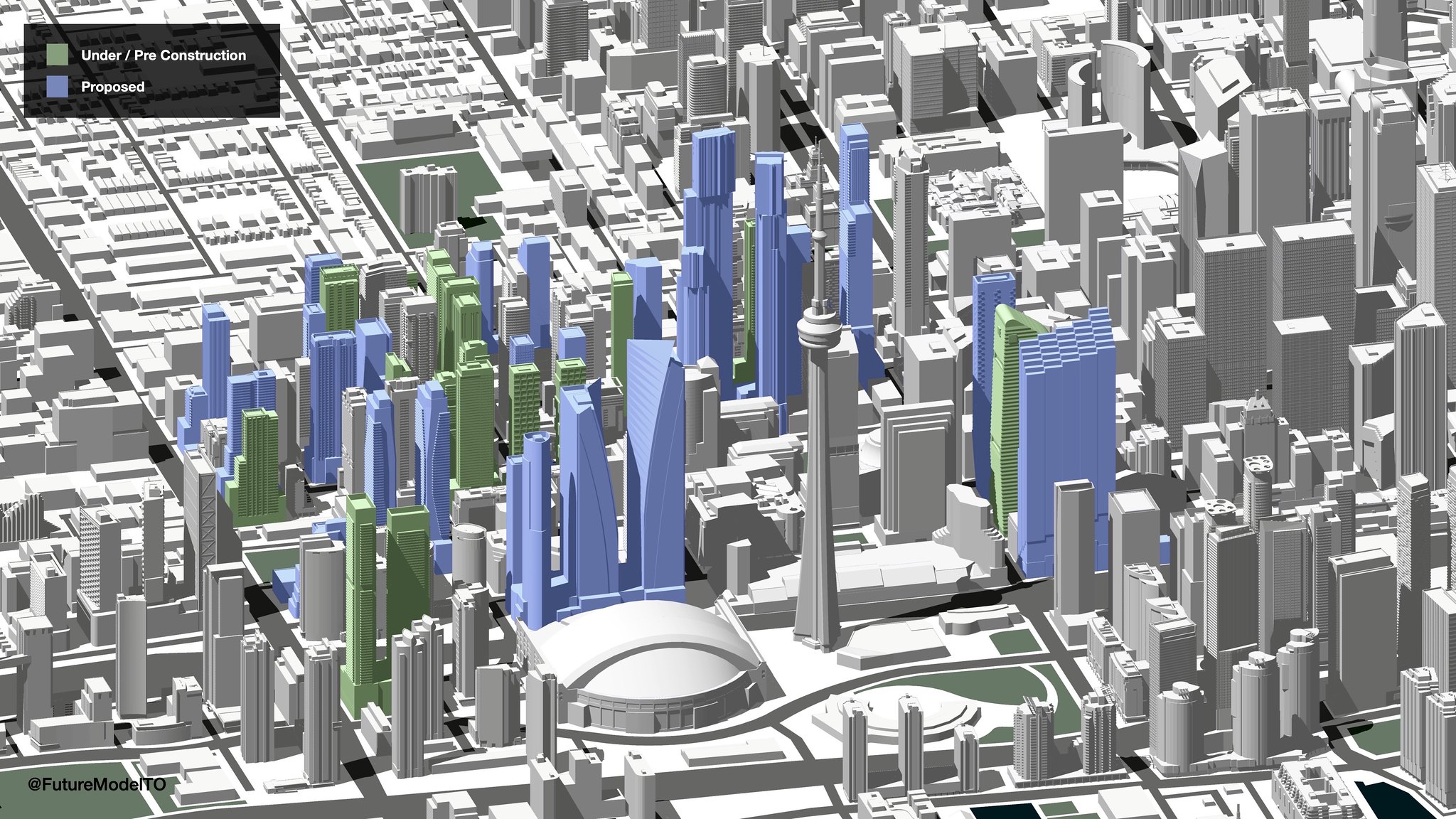


Very cool. How are you defining "mixed-use"? Also it seems like some hotels are being counted as residential (51 Camden is the one I noticed)?
Awesome work!
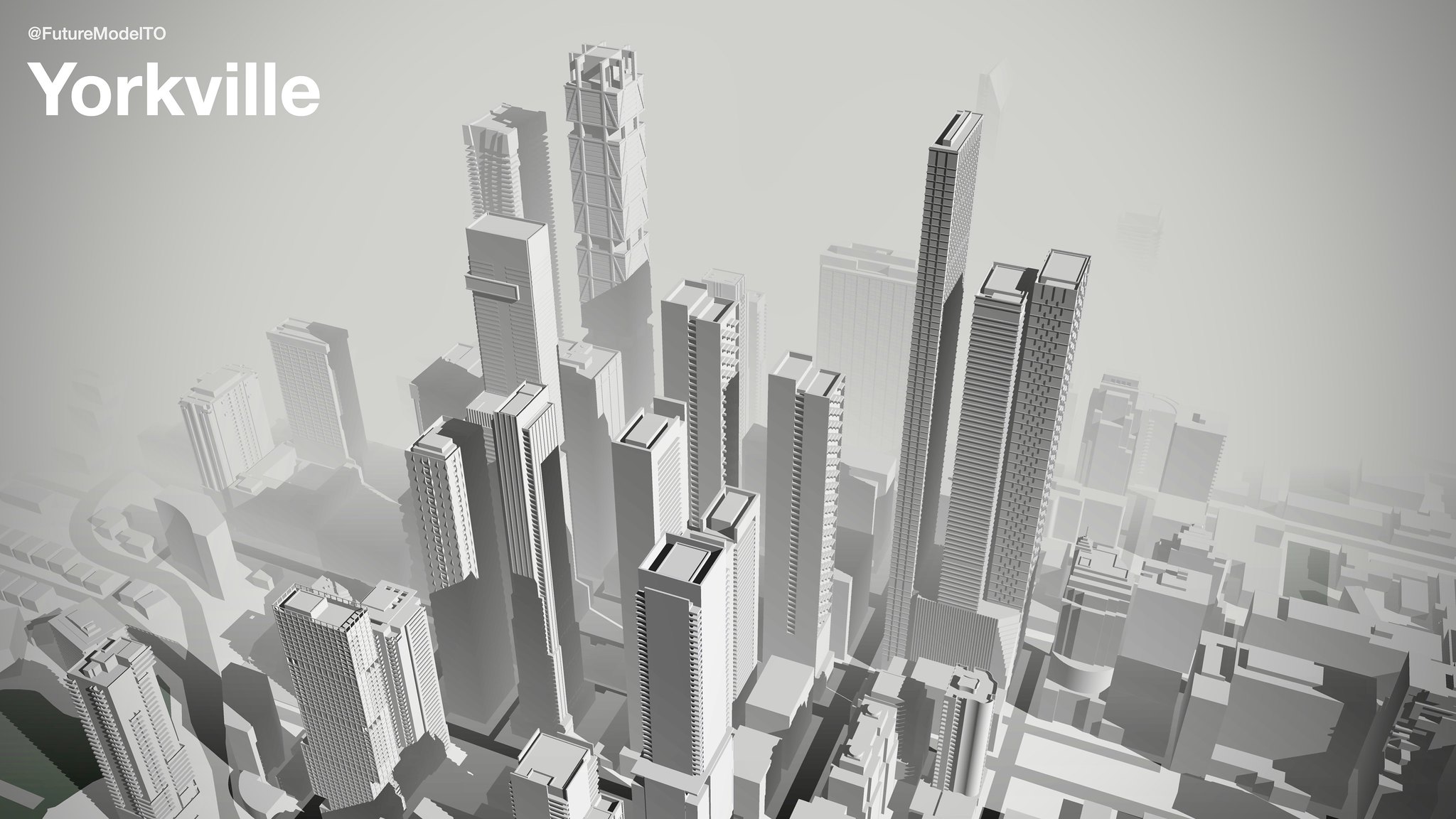
You are missing a bunch of projects in Regent Park though (presumably because the City's development application website is a complete mess for Regent Park. Seriously, the entire neighbourhood under one application file?)
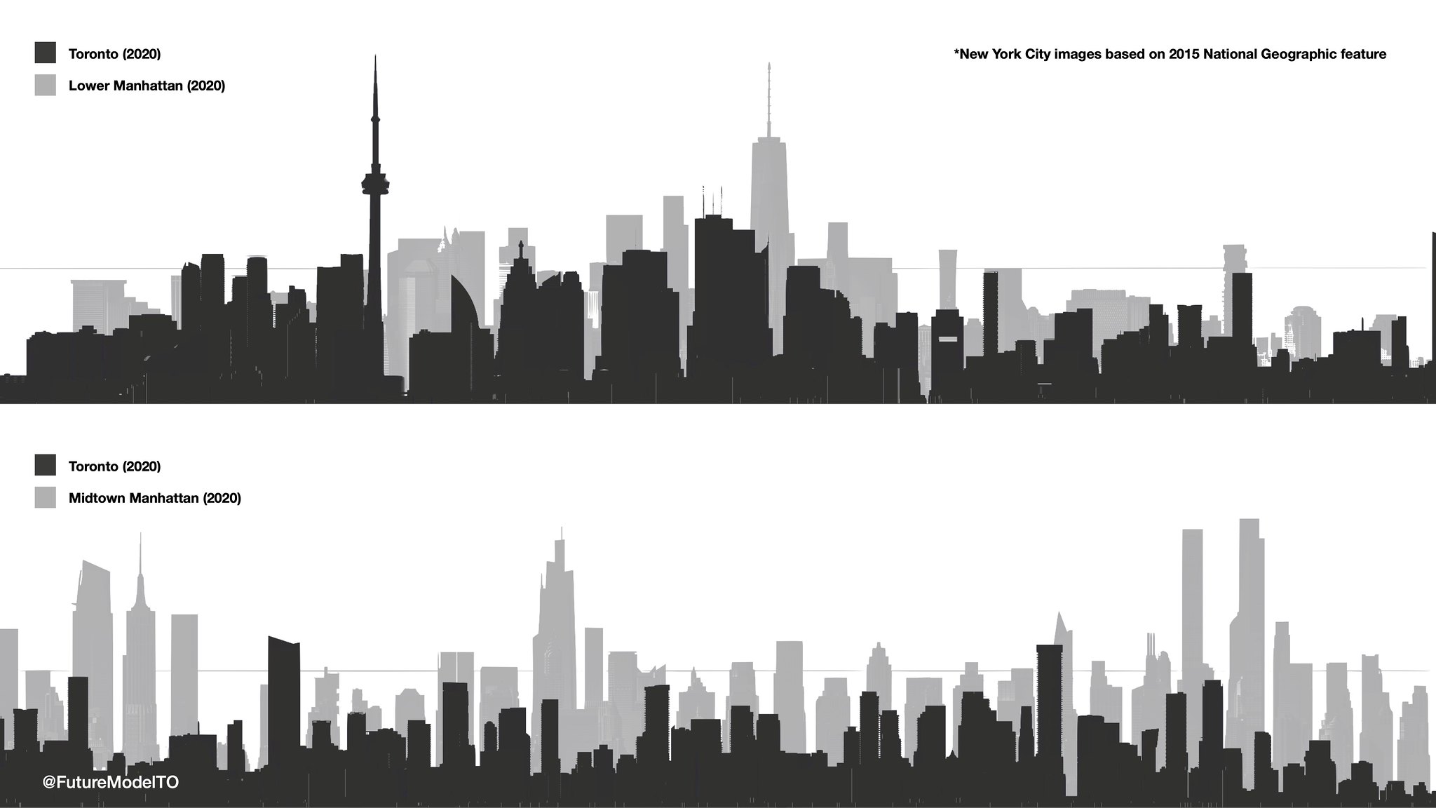


 I recently did a "By the Numbers" built, u/c, proposed TOR-CHI comparison in an existing 'compare' Politics thread, along with a bunch of editorializing (especially about CTBUH criteria and what's a skyscraper? lol), but the punch-line was this: