W. K. Lis
Superstar
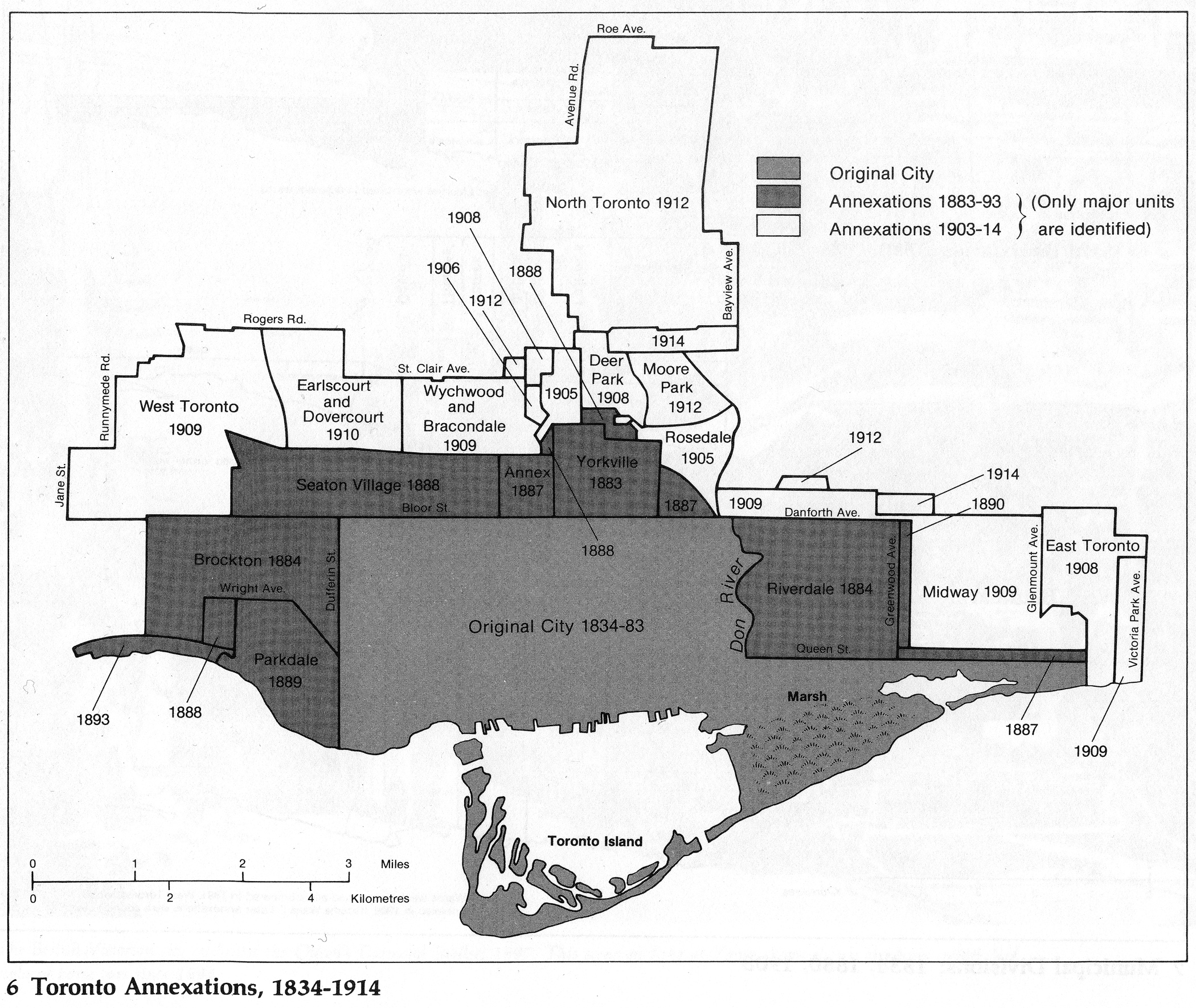
Before 1954, the Toronto Transportation Commission ran streetcars within the old city of Toronto.
From link.
The streetcars ran in the old city, and served them well.

From link.
Then in 1954, the Toronto Transit Commission took over the old city and transit in the other 12 municipalities of Metropolitan Toronto.

From link.
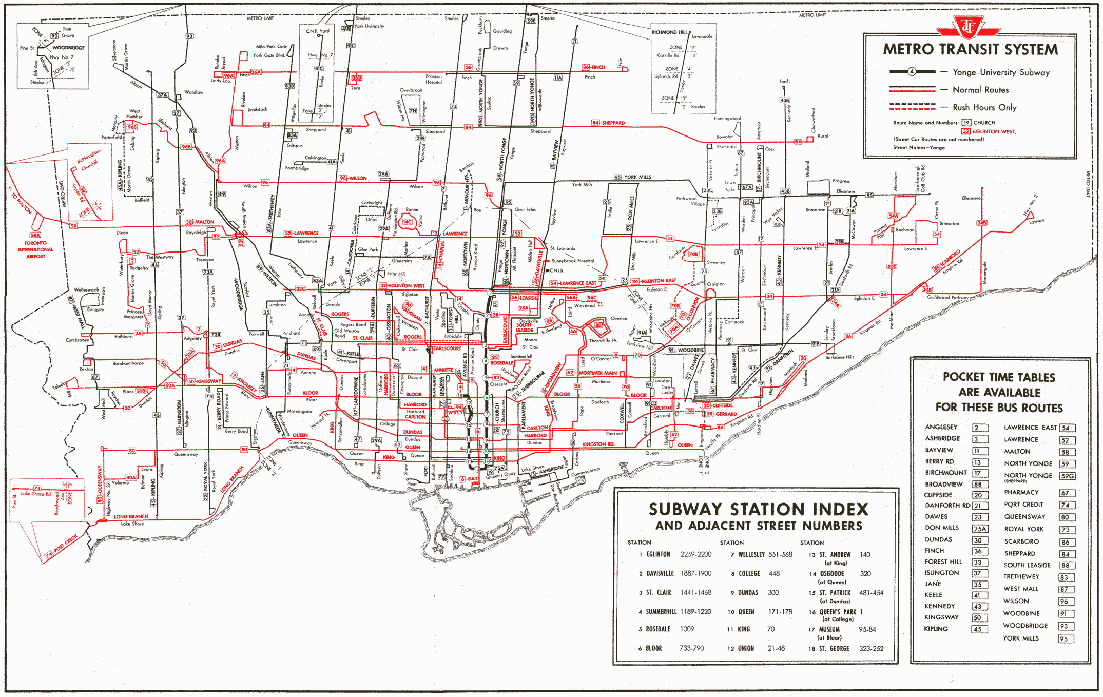
Unfortunately, the spell of the propaganda machines put forth by the bus and petroleum companies was working. In the newly emerging suburban subdivisions, instead of putting in streetcars, they went with buses. With wide open spaces, they could have put in streetcar right-of-ways, but went with very wide traffic lanes and genuflected before the automobile gods with buses, instead. Public transit, of any kind, was an afterthought.
From link.
The streetcars ran in the old city, and served them well.
From link.
Then in 1954, the Toronto Transit Commission took over the old city and transit in the other 12 municipalities of Metropolitan Toronto.
From link.
Unfortunately, the spell of the propaganda machines put forth by the bus and petroleum companies was working. In the newly emerging suburban subdivisions, instead of putting in streetcars, they went with buses. With wide open spaces, they could have put in streetcar right-of-ways, but went with very wide traffic lanes and genuflected before the automobile gods with buses, instead. Public transit, of any kind, was an afterthought.
") Ah. pipe dream.
Ah. pipe dream.