


smuncky
Senior Member
Since today was a gorgeous day, when compared to the storm we had just a day ago, I decided to finally take a walk down the Don River Valley.
I got off the bus at the corner of Broadview and Pottery Road and walked down into the valley. I then headed south following the river and DVP until I hit Lakeshore at which point I turned west towards Union station.
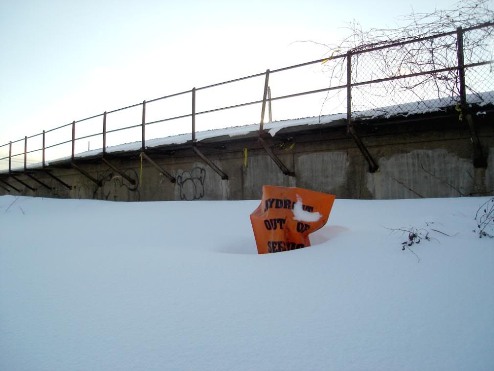
The path was quite walkable as people had already made a path walking their dogs and cross-country skiing. Although as I got closer to the lake, a lot less people made it that far south and I had to walk through some deep snow. Overall, the walk took around 3.5 hours with lots of stopping to take pictures and admire nature.
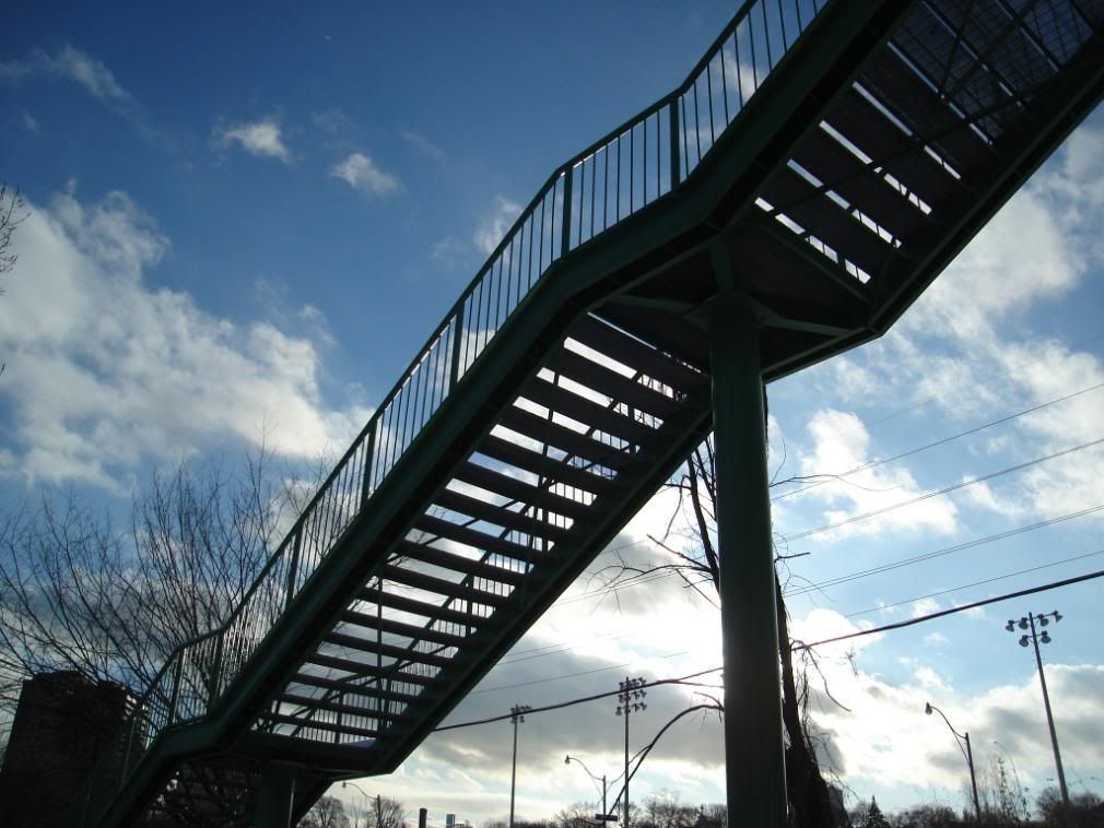
As you'll see, I'm a bit obssesive when it comes to bridges and such, but I love the engineering of the structures and the role they play in our daily lives.
Anyway, enjoy.
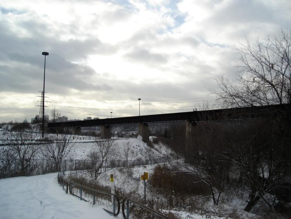
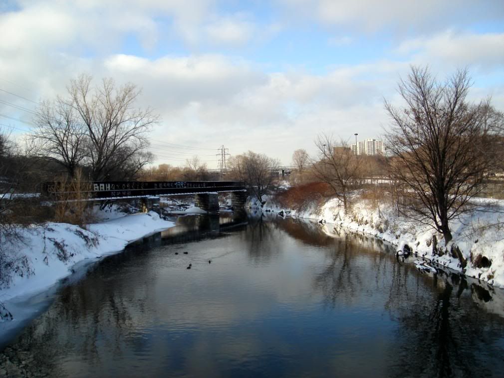
Looking west from Pottery Road
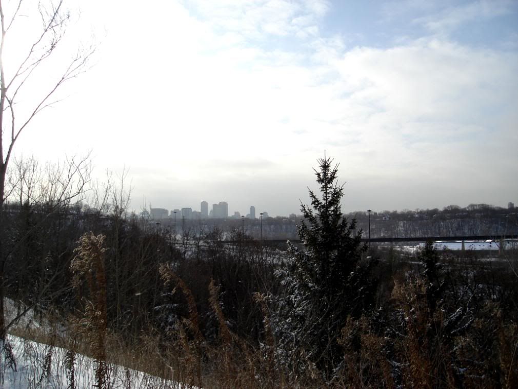
Looking Northwest from Pottery Road
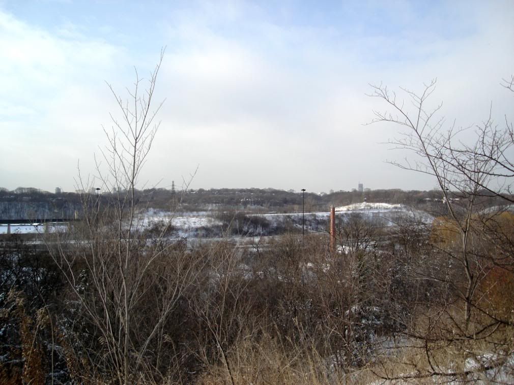
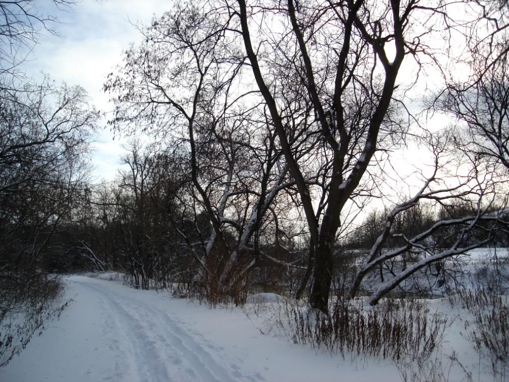
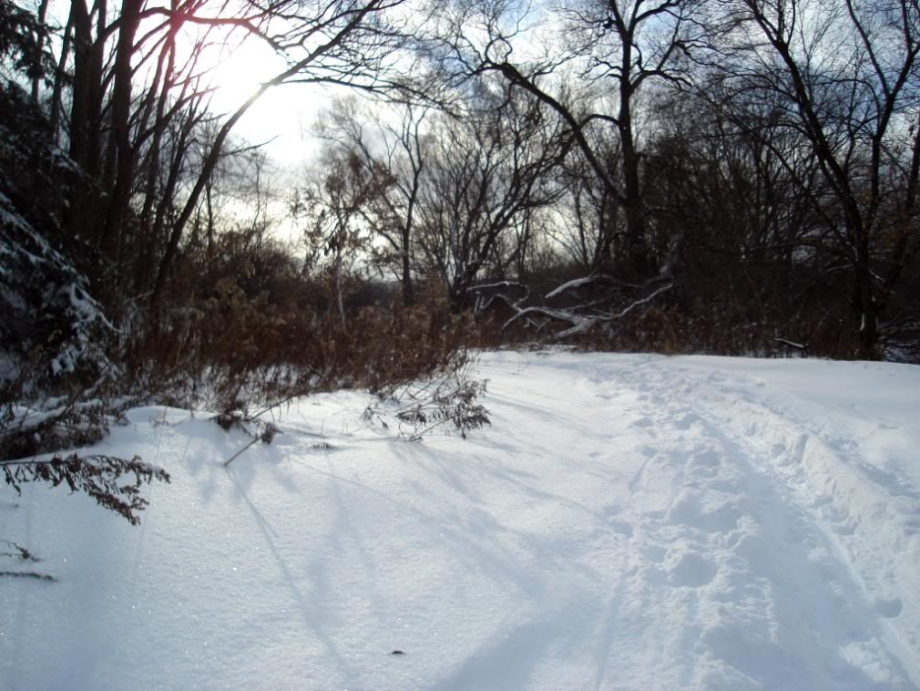
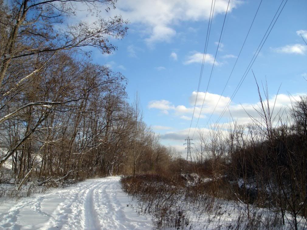
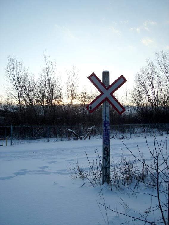
On the trail
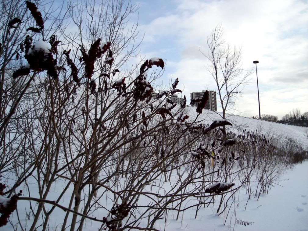
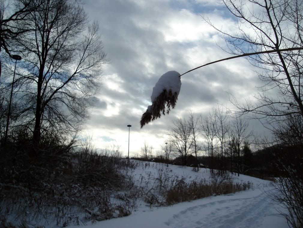
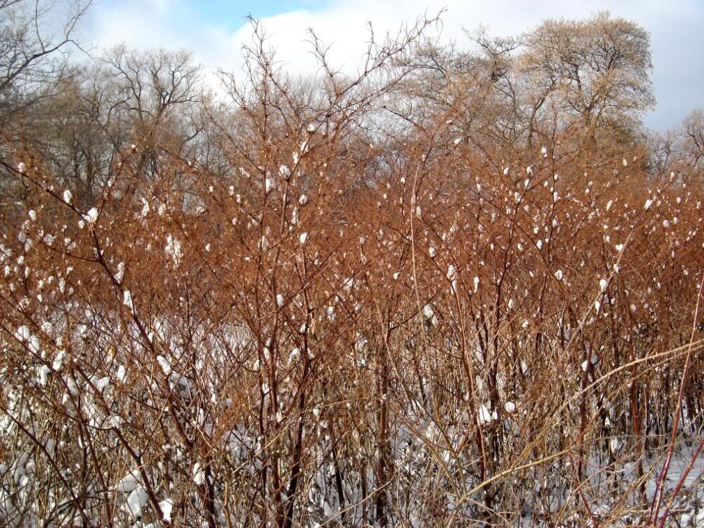
Some Sumac on the side of the DVP
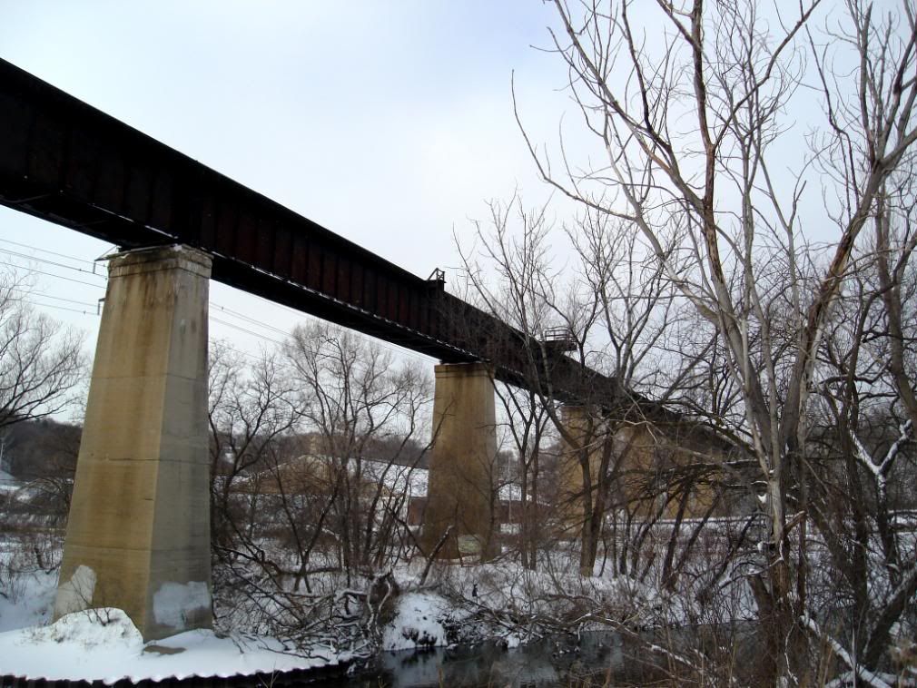
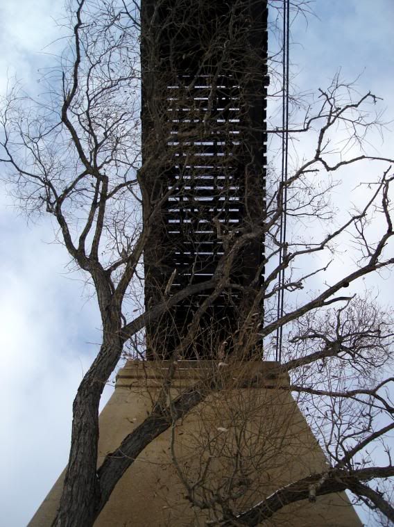
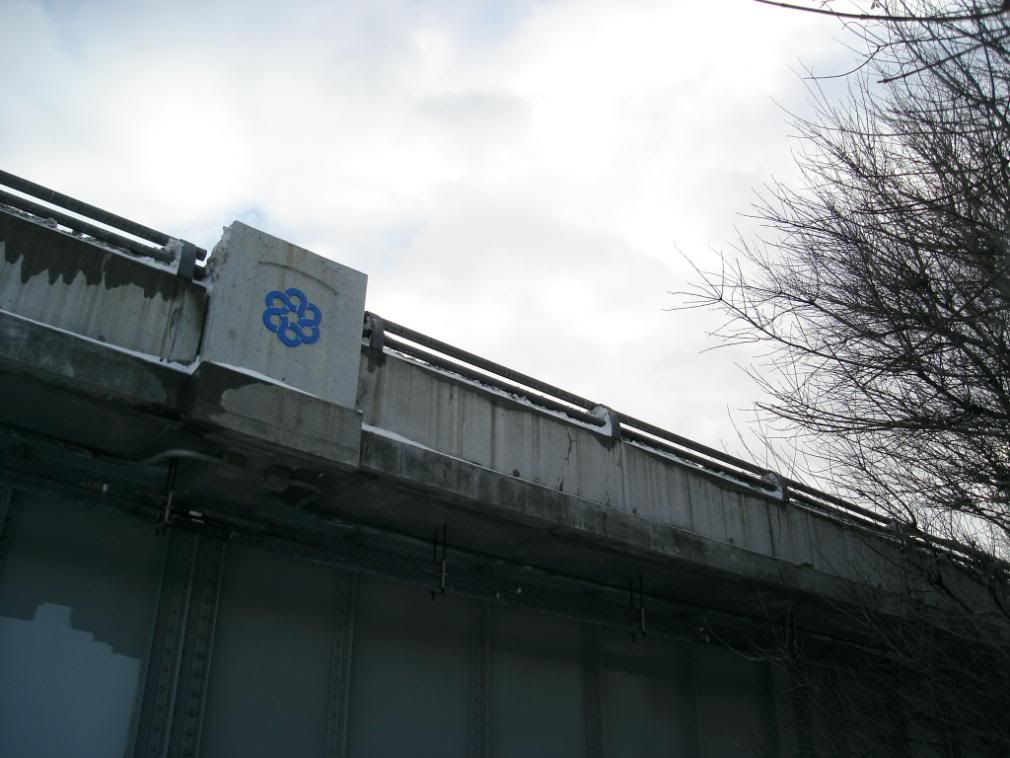
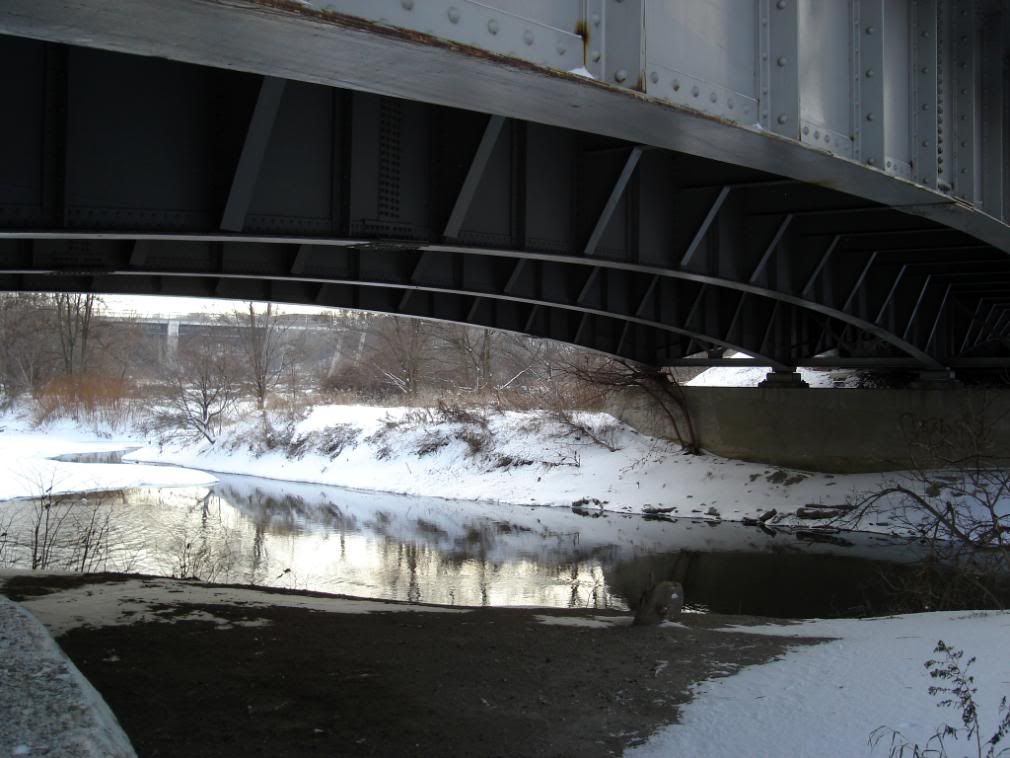
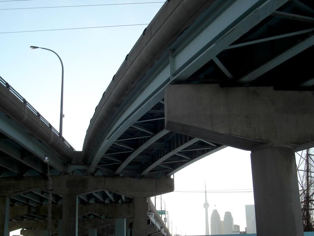
Looking up at the same bridge
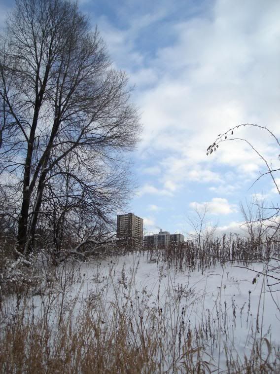
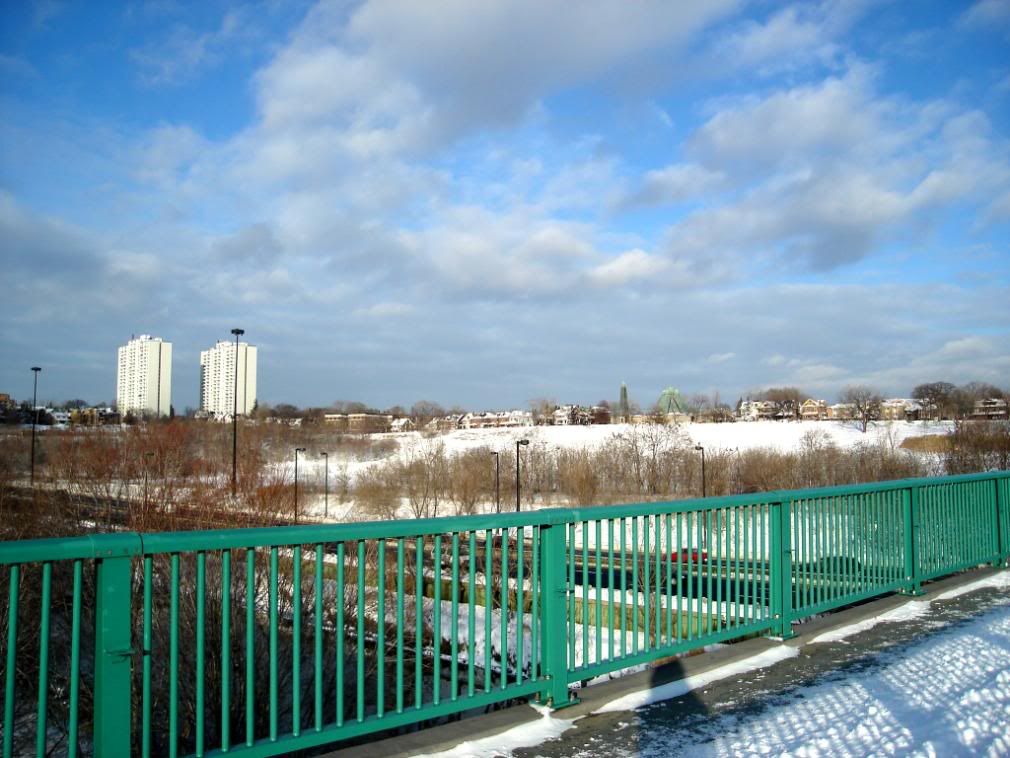
Highrises near Danforth Avenue in the distance
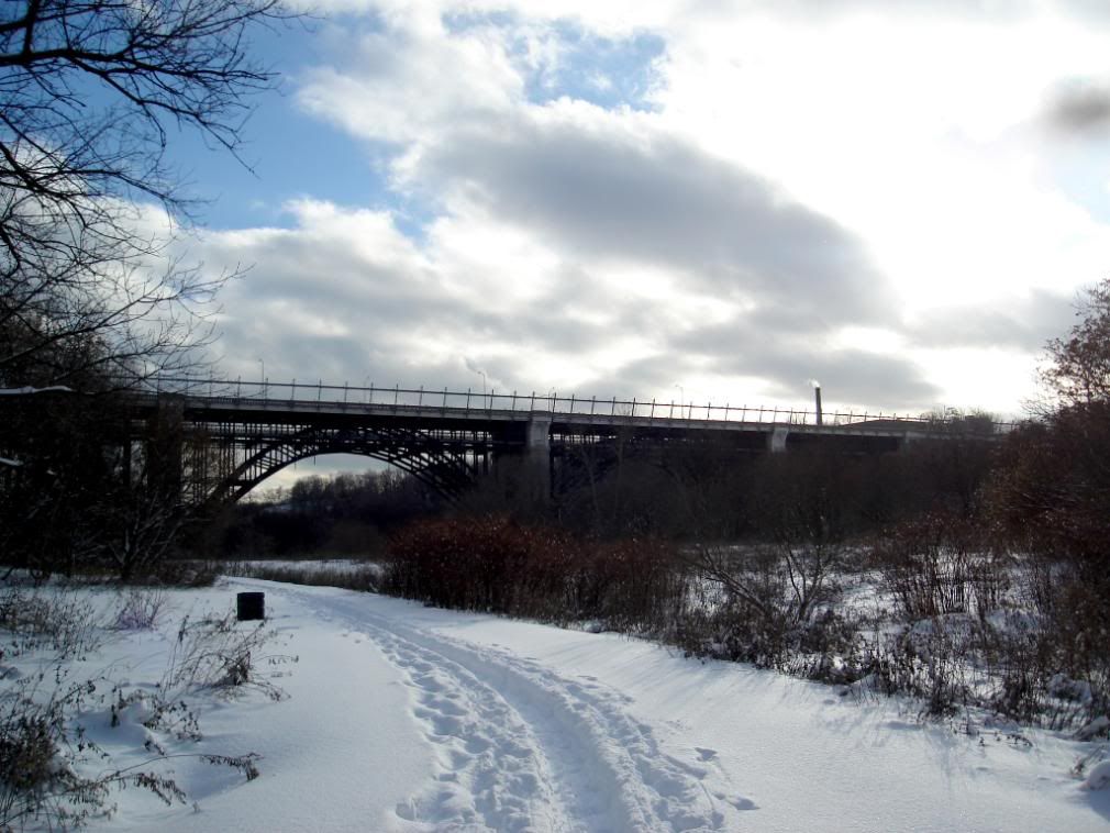
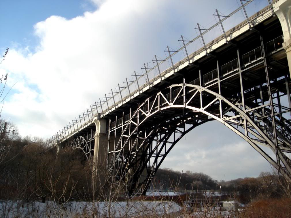
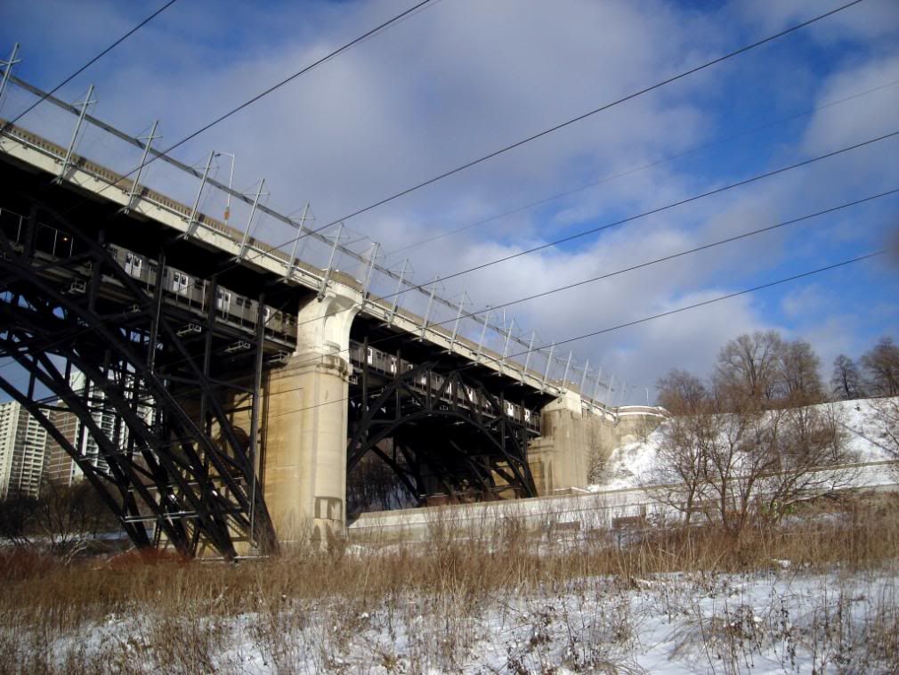
Prince Edward Viaduct
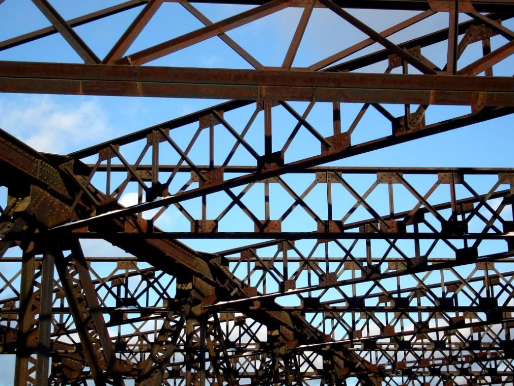
PEV close-up
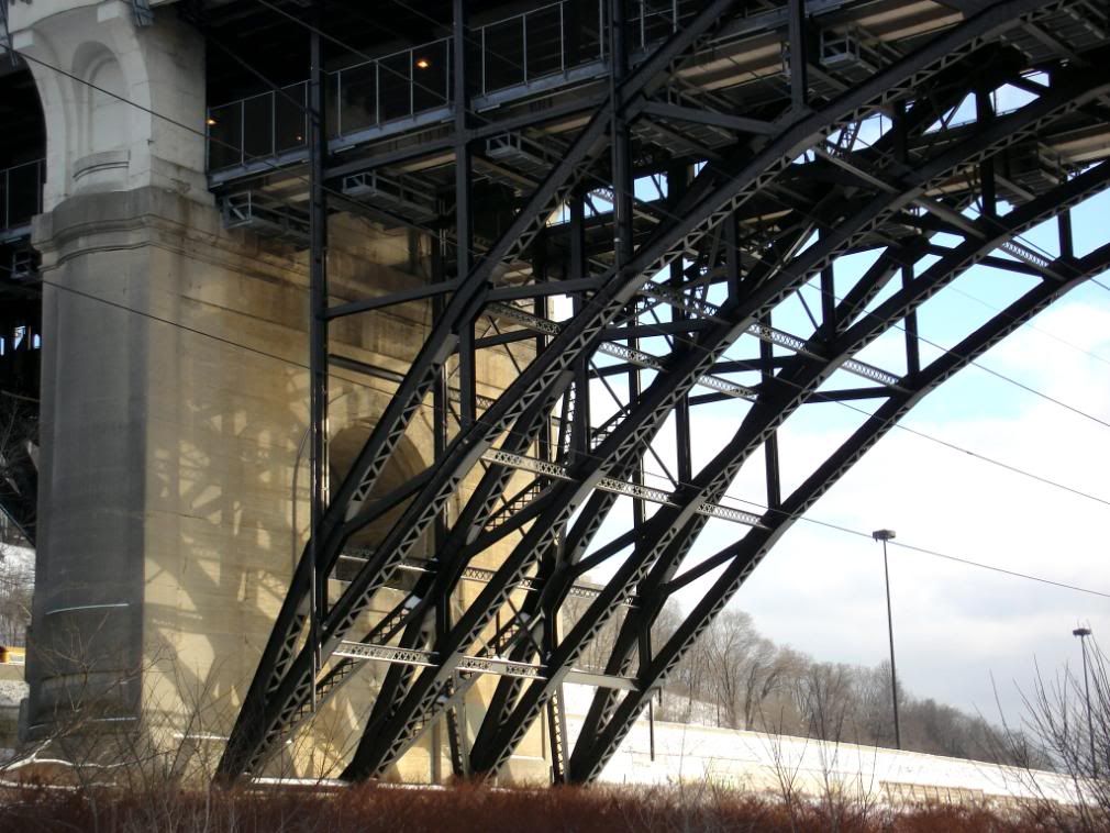
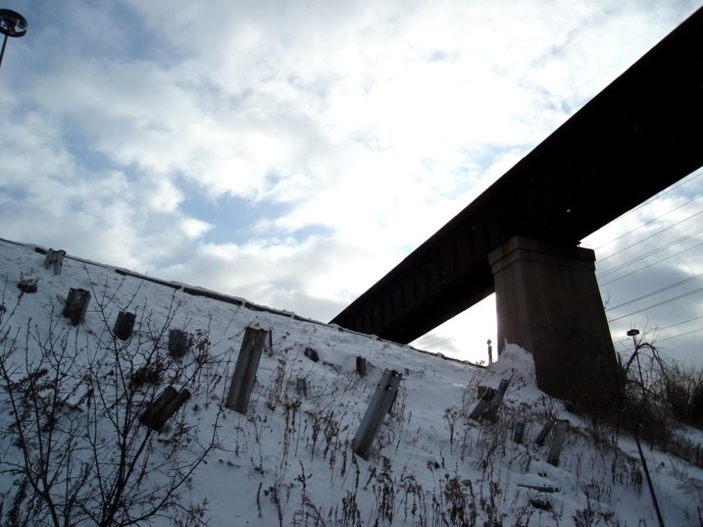
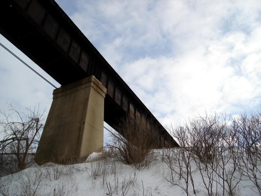
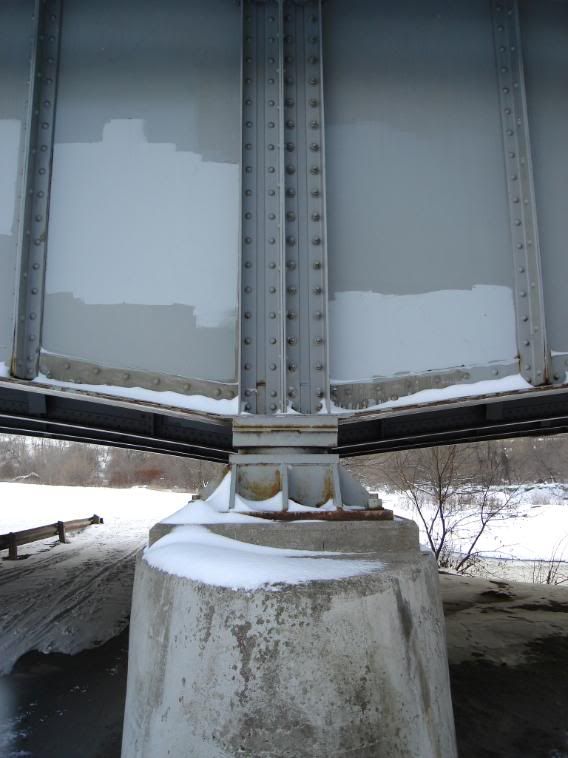
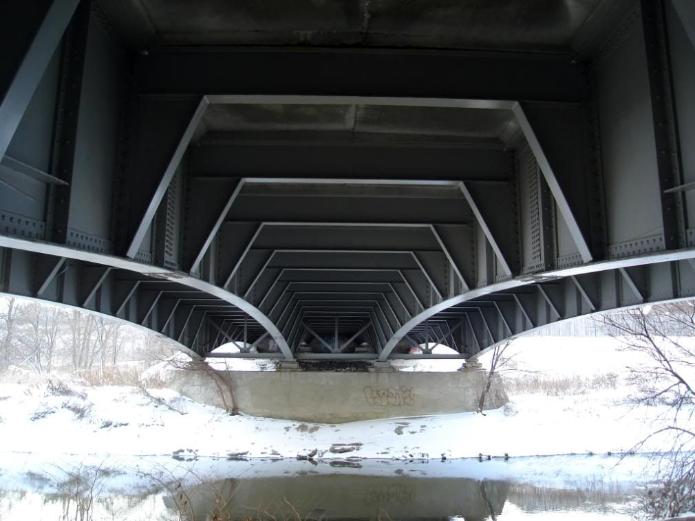
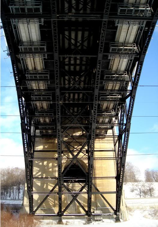
Underneath the PEV
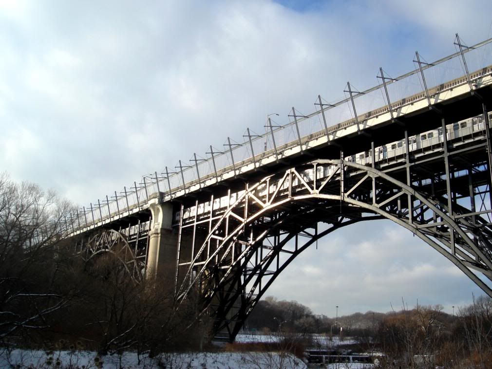
Eastbound subway train
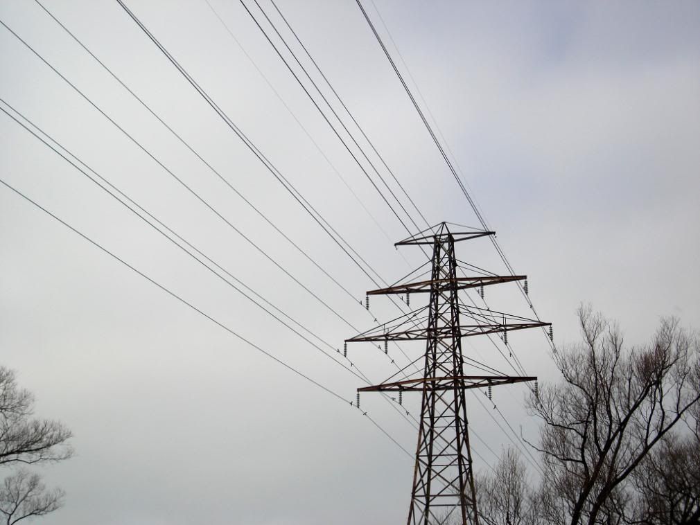
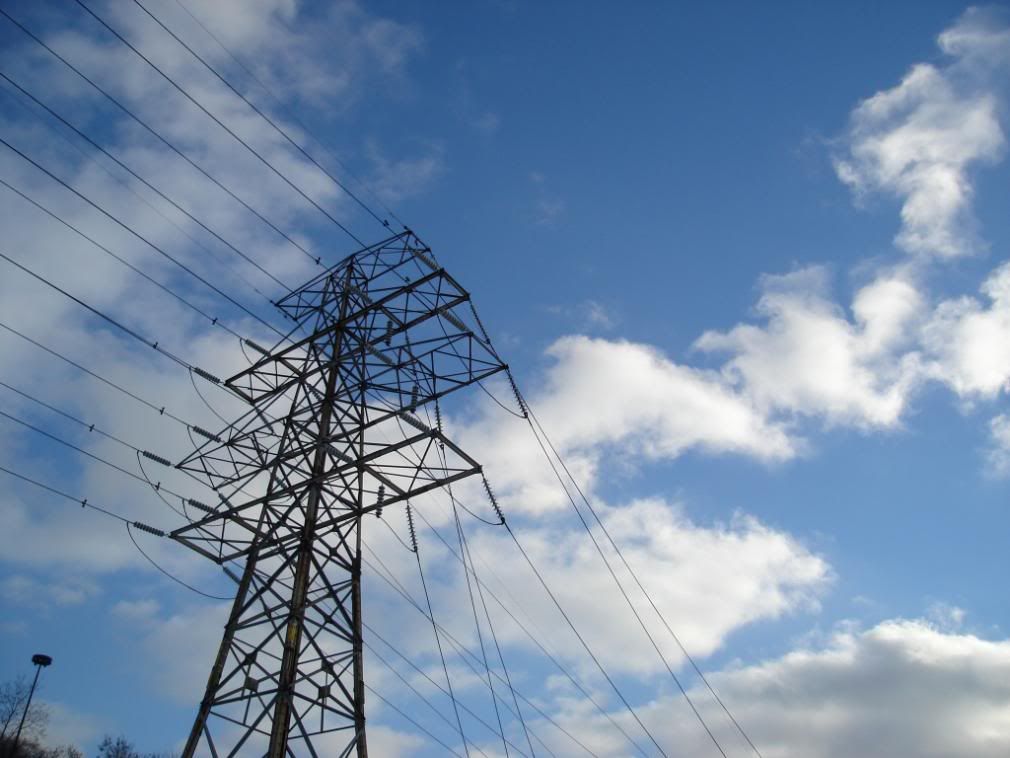
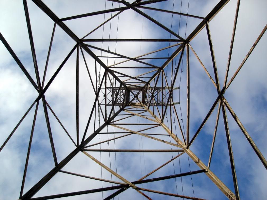
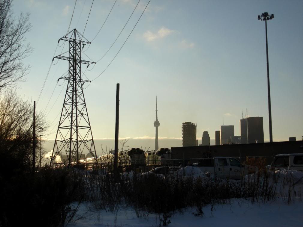
Underneath an electricity pylon
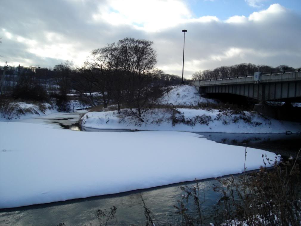
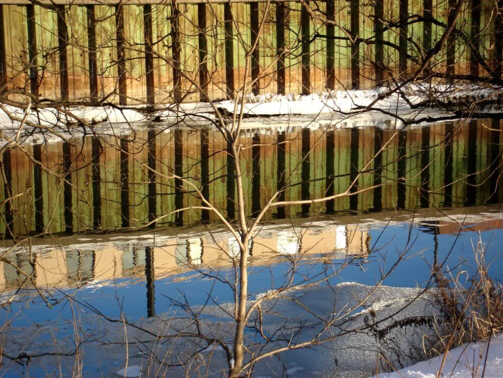
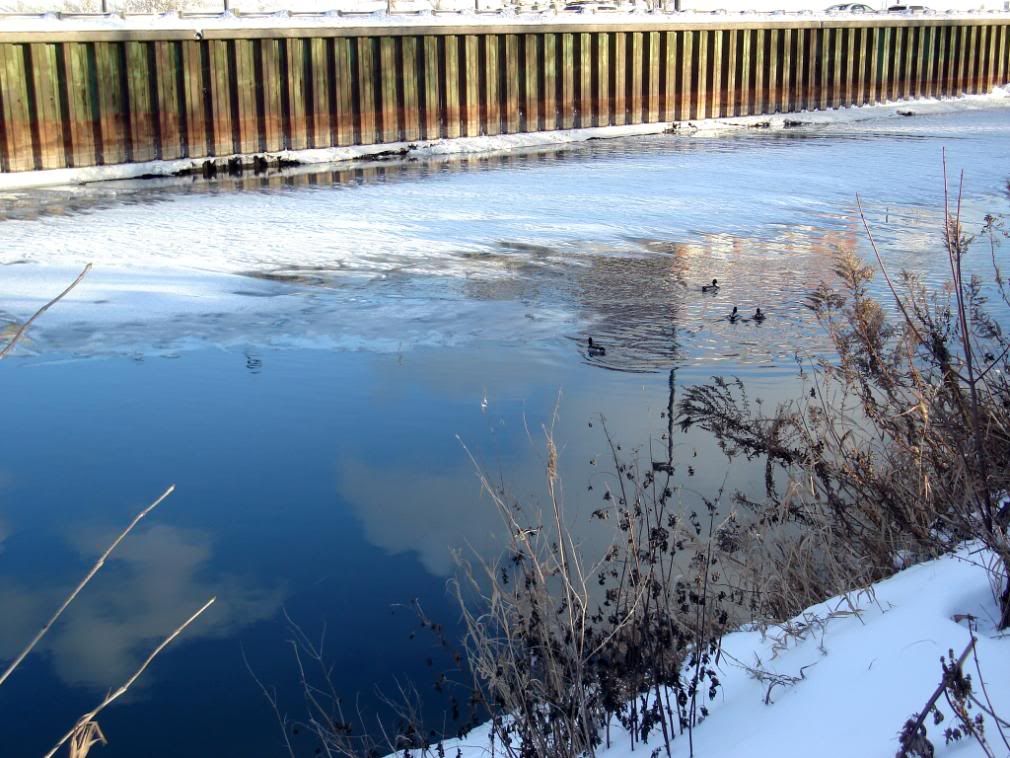
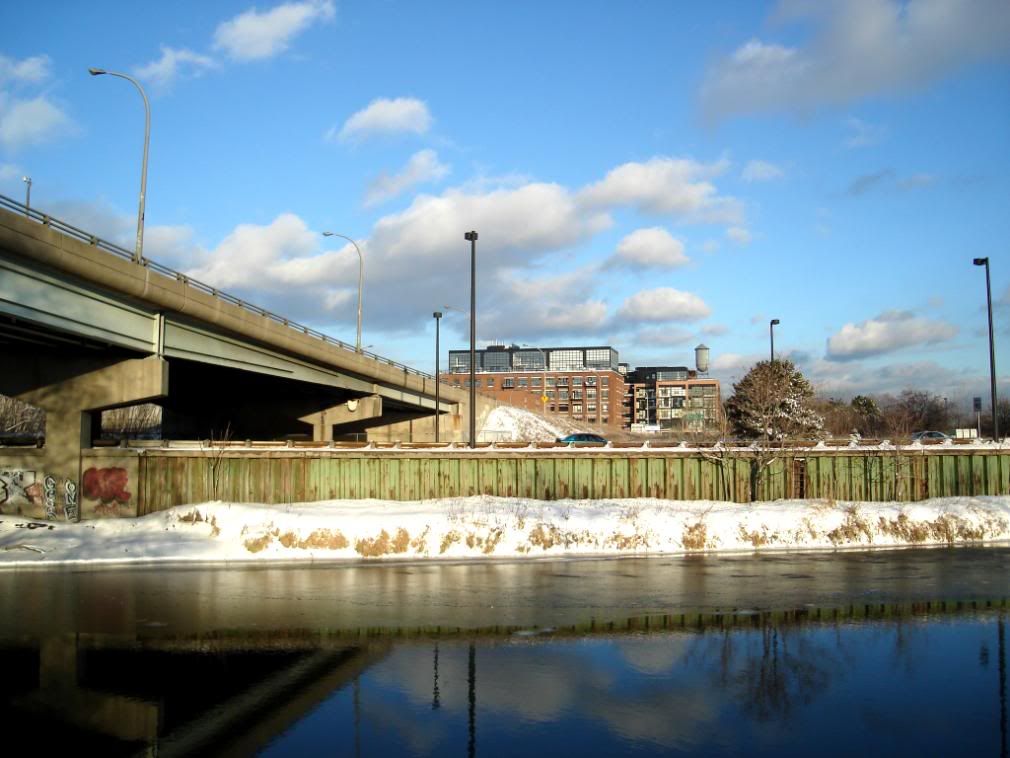
Crossing the Don River near Riverdale
Looking south
Looking north
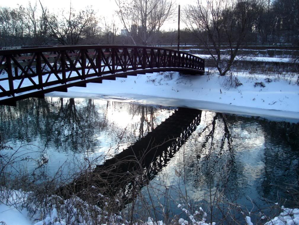
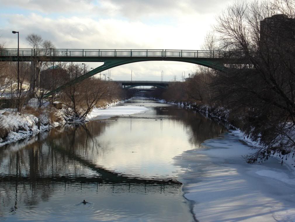
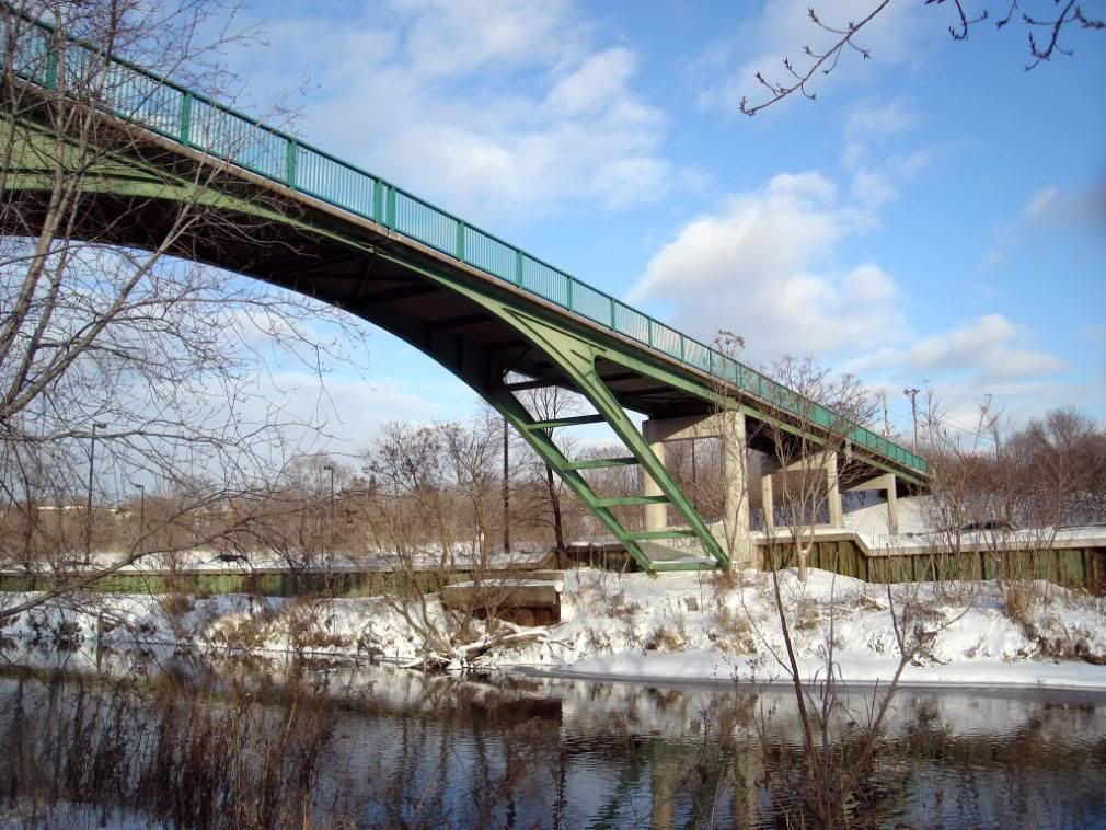
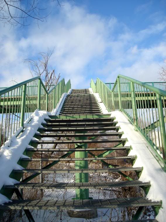
The bridge that connects Riverdale Park East and West over the Don River and DVP
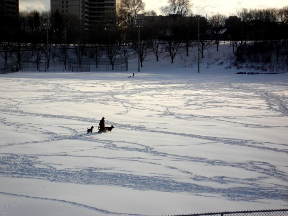
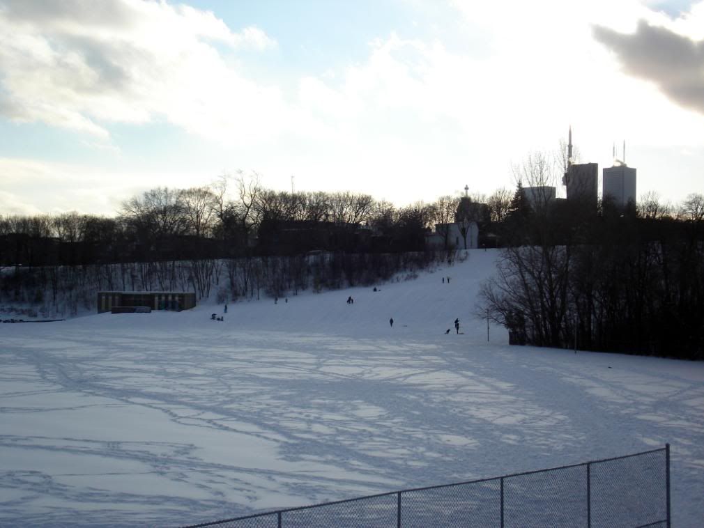
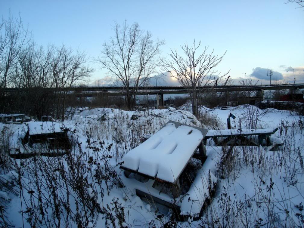
Riverdale East Park
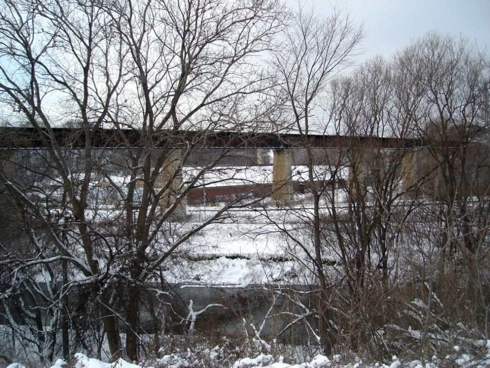
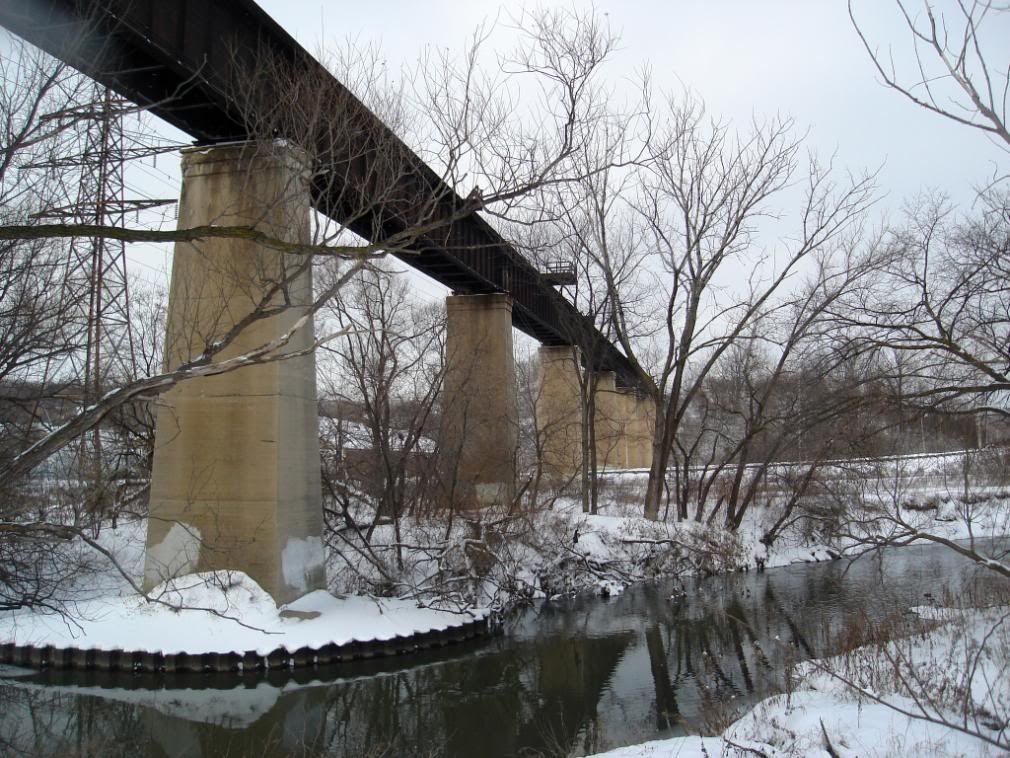
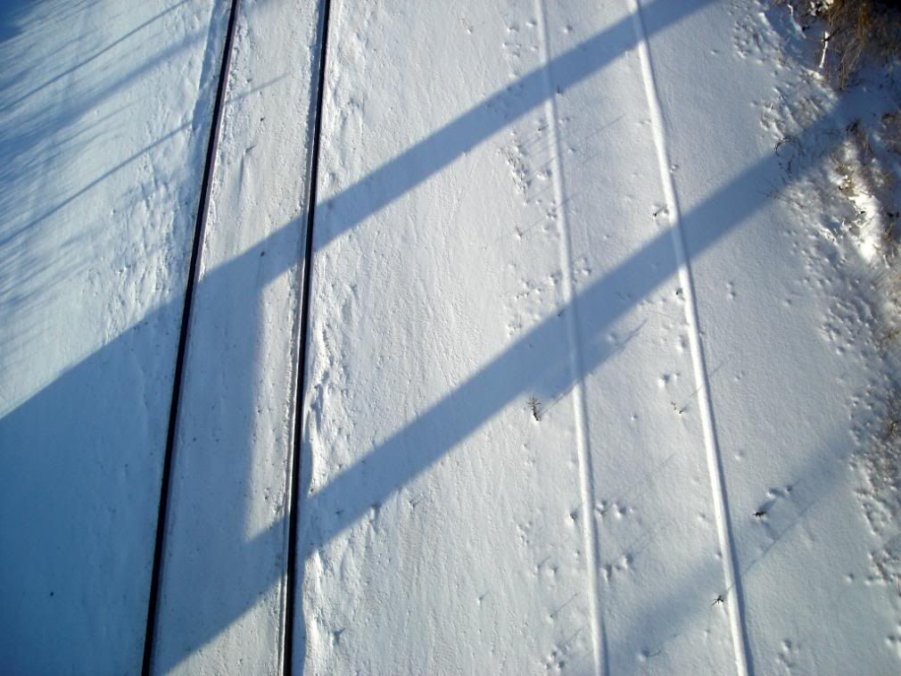
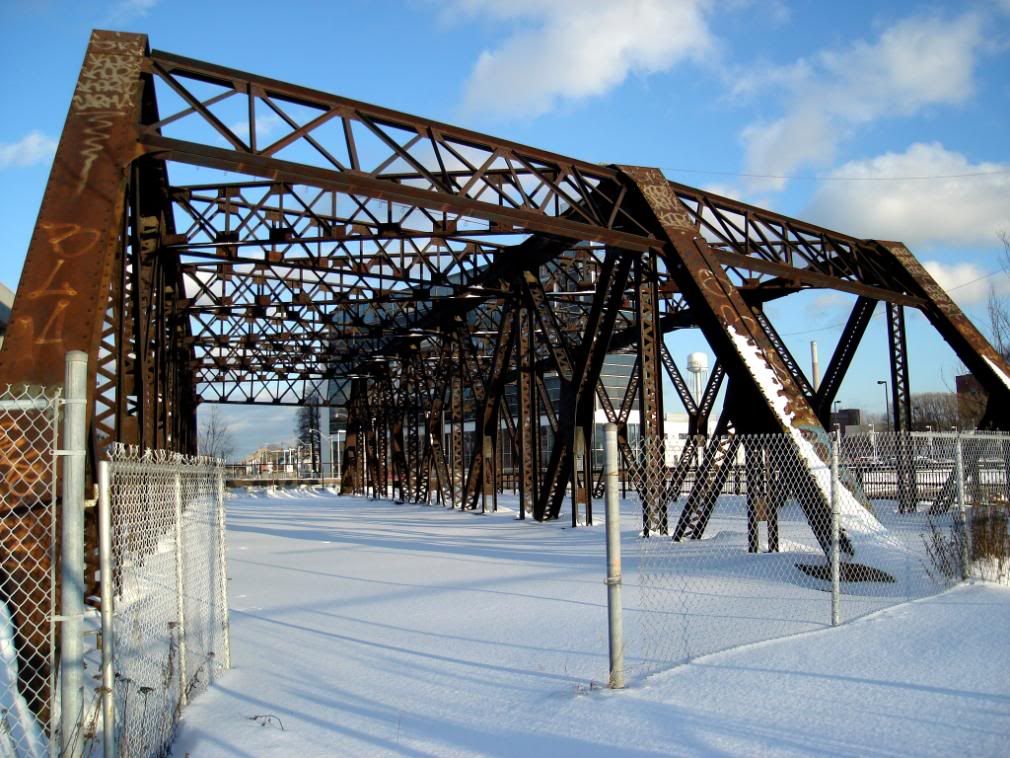
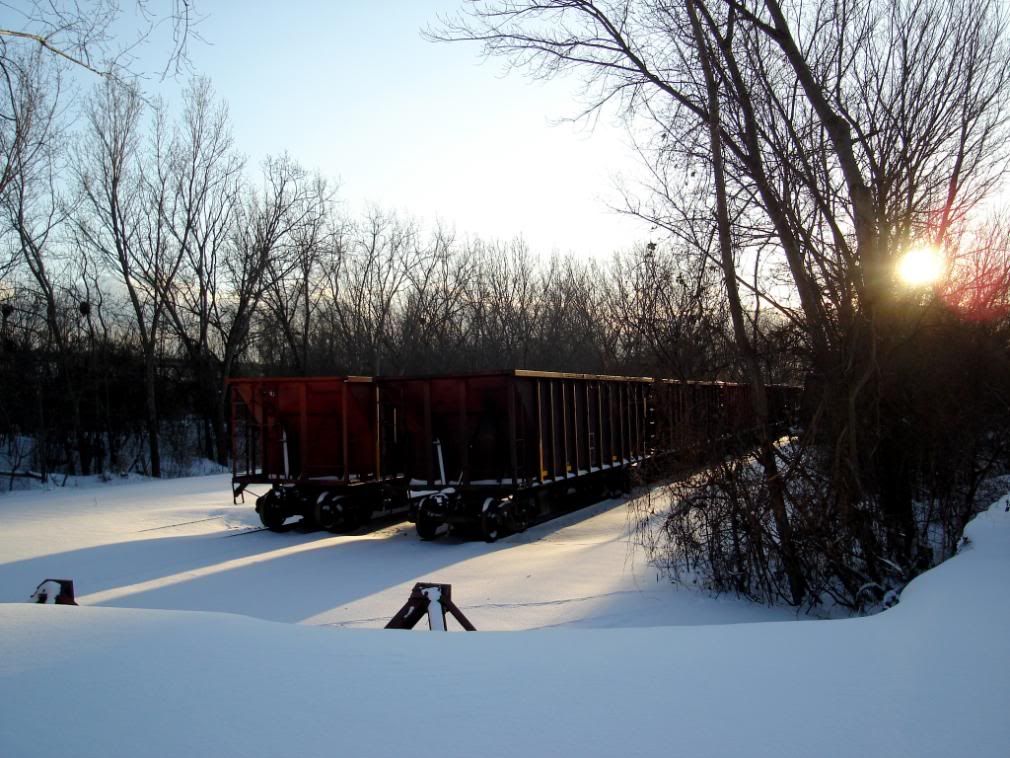
The train tracks under the bridge.
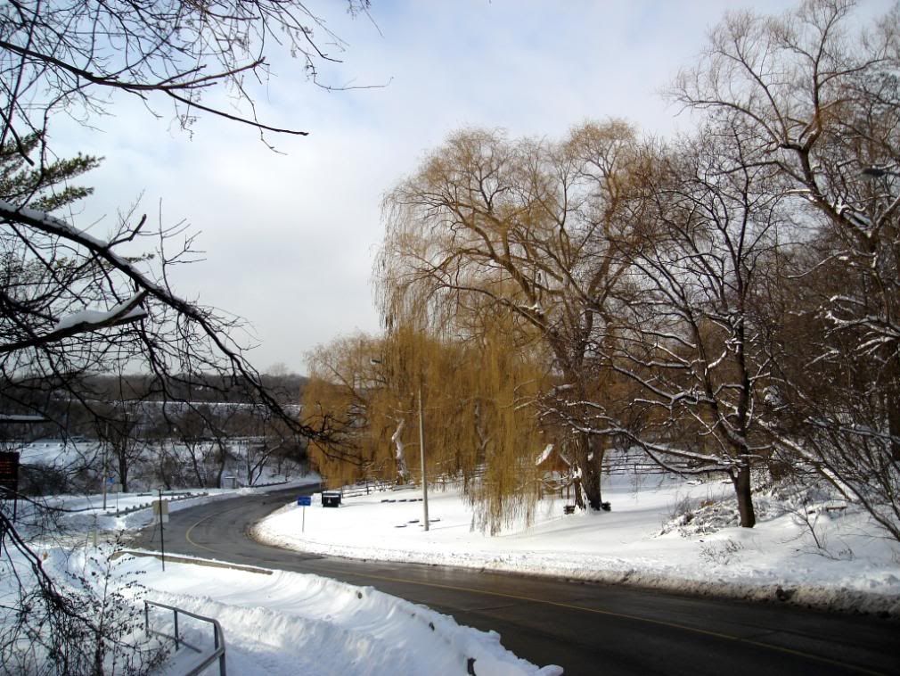
Riverdale West Park
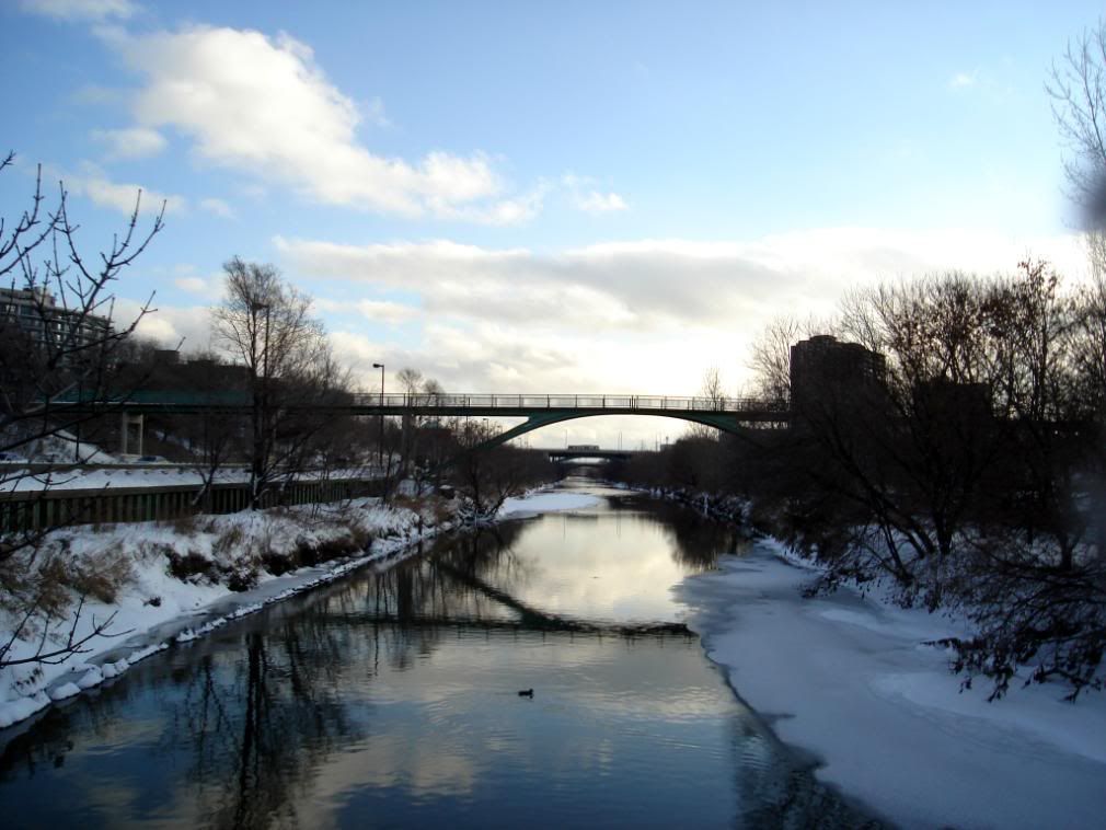
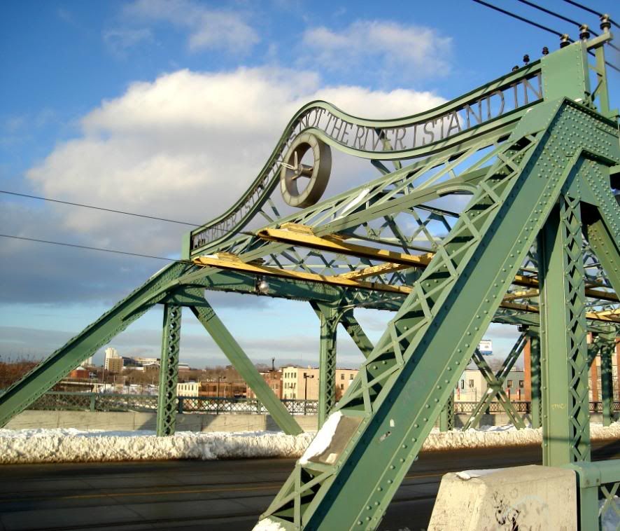
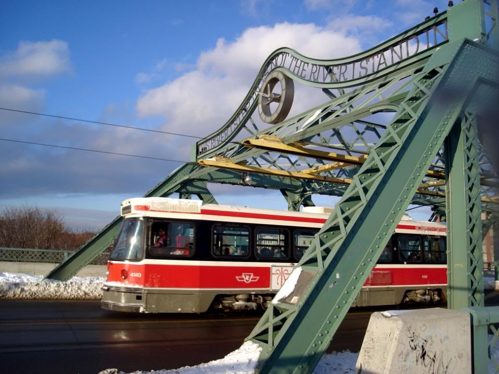
Queen Street bridge
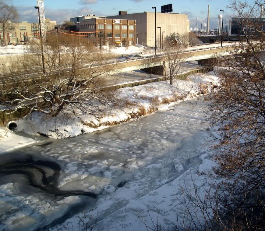
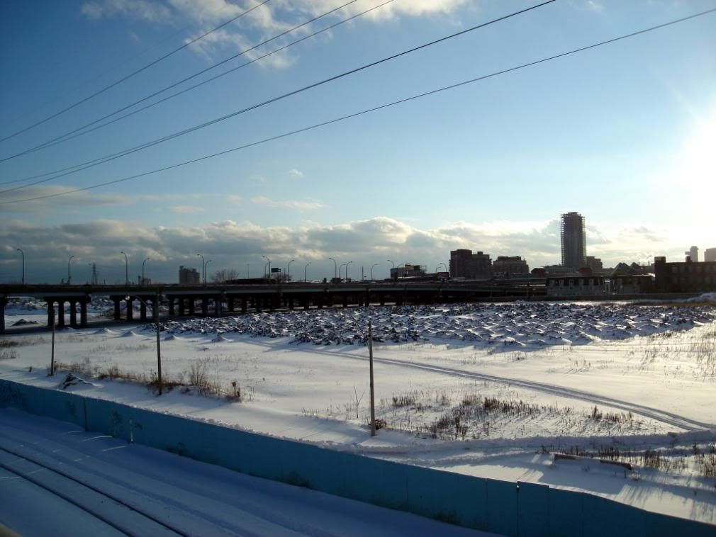
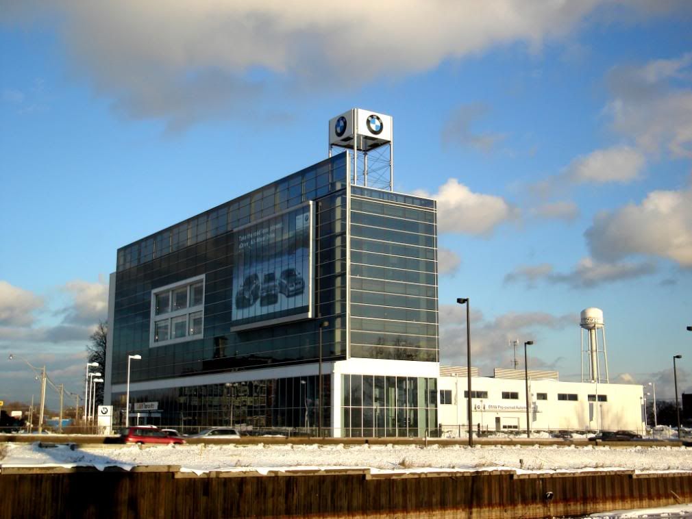
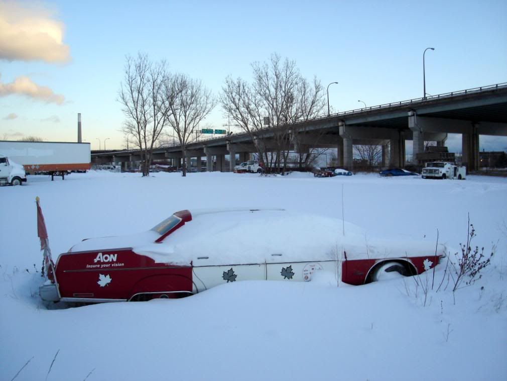
West Don Lands
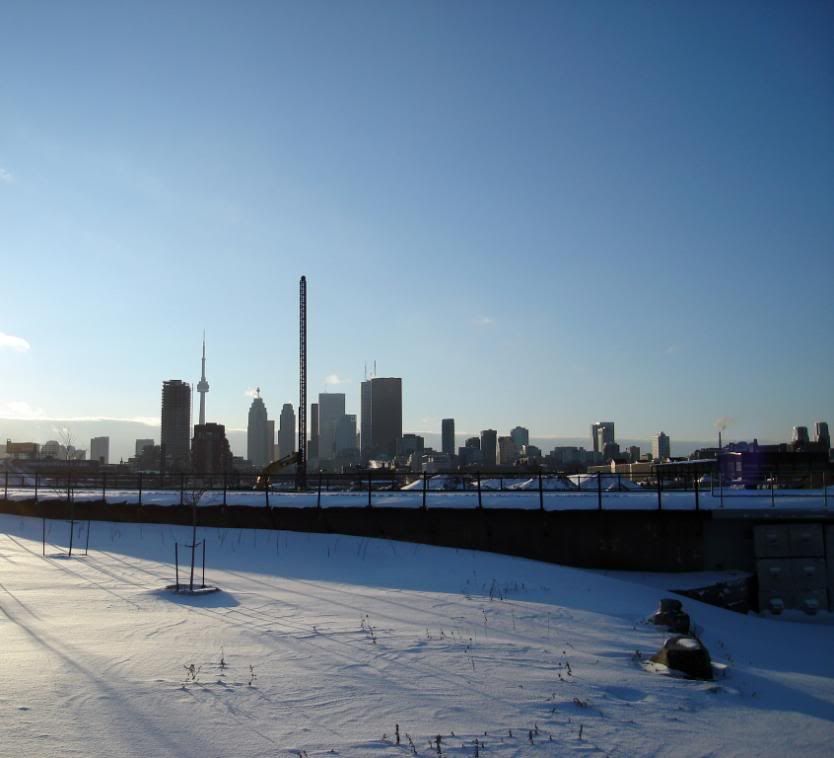
I got off the bus at the corner of Broadview and Pottery Road and walked down into the valley. I then headed south following the river and DVP until I hit Lakeshore at which point I turned west towards Union station.
The path was quite walkable as people had already made a path walking their dogs and cross-country skiing. Although as I got closer to the lake, a lot less people made it that far south and I had to walk through some deep snow. Overall, the walk took around 3.5 hours with lots of stopping to take pictures and admire nature.
As you'll see, I'm a bit obssesive when it comes to bridges and such, but I love the engineering of the structures and the role they play in our daily lives.
Anyway, enjoy.
Looking west from Pottery Road
Looking Northwest from Pottery Road
On the trail
Some Sumac on the side of the DVP
Looking up at the same bridge
Highrises near Danforth Avenue in the distance
Prince Edward Viaduct
PEV close-up
Underneath the PEV
Eastbound subway train
Underneath an electricity pylon
Crossing the Don River near Riverdale
Looking south
Looking north
The bridge that connects Riverdale Park East and West over the Don River and DVP
Riverdale East Park
The train tracks under the bridge.
Riverdale West Park
Queen Street bridge
West Don Lands
")
