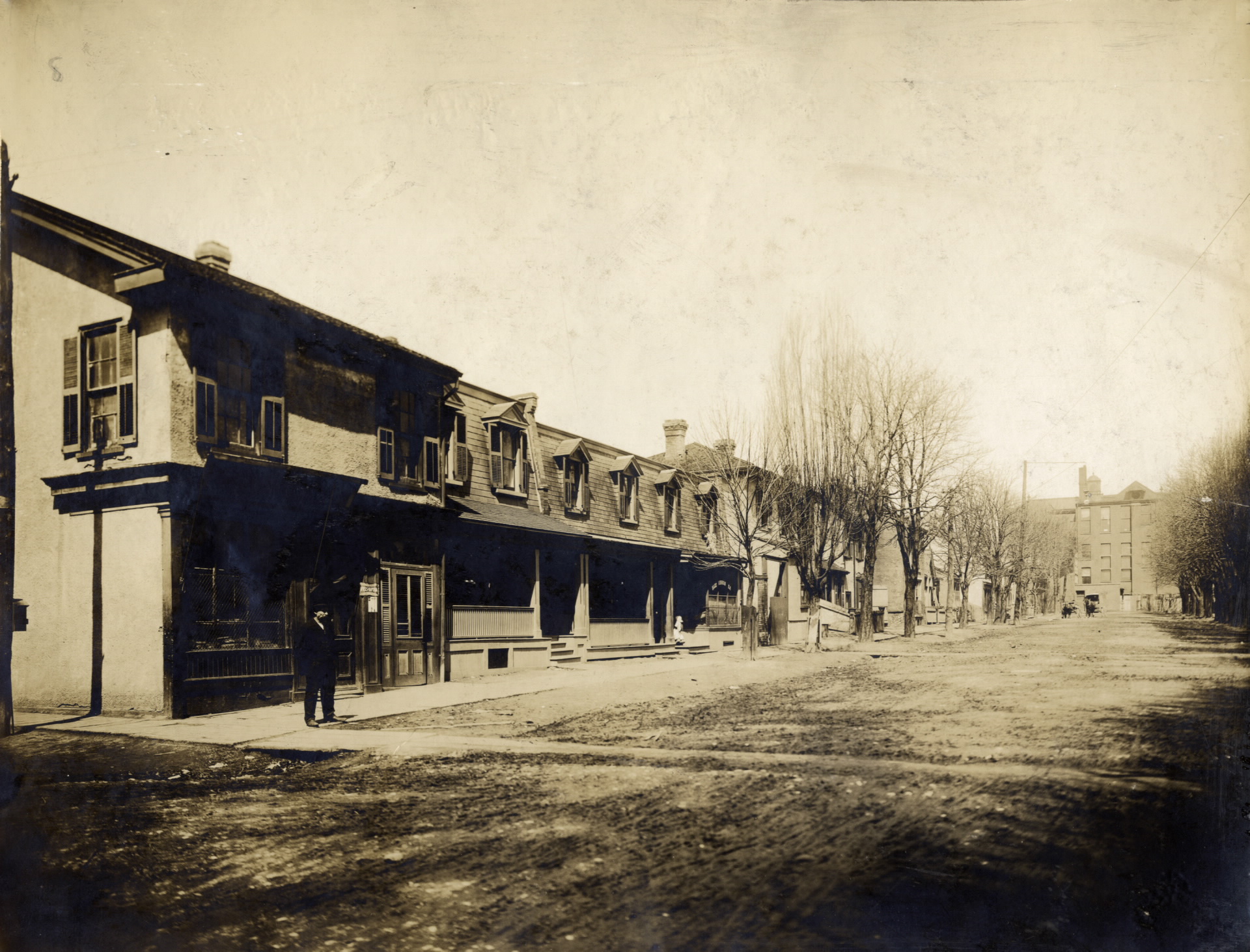
Then. View of Chestnut, looking north from Christopher Street. 1907.

Hard to believe our downtown hospital district was a residential area for a time — from about the mid-1800s and up until about the early 1940s.
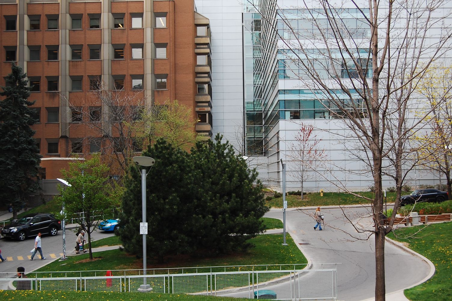
Now. June 2012.

Christopher Street doesn't exist at all anymore. Nor does Chestnut — at least north of Edward Street.
For a great way to research the comings and goings of Toronto street layouts over the years check out UTer plink's Goads Maps:
A great link we've seen before, but too useful not to merit an occasional reminder.

 1K
1K 


