News   Apr 17, 2024
 1K     0 
News   Apr 17, 2024
 324     0 
News   Apr 17, 2024
 2K     1 

Urban Wilderness!

Does this help? - 1931 Topographic map - Bayview & Lawrence at the top. I would say the answer is b) wandered along to the west around the land form to get back up to the top

When was the 'new' bridge built? - this map seems to show both the route over and the route through the valley.

Note that further south Bayview also took a less direct route over Burke Brook.

The new bridge was built in 1929, as I understand it, so the map postdates it by just a couple of years. However, it does seem to suggest something I've suspected for a while, that Bayview veered to the west to climb out of the valley rather than taking a direct, Roman road-straight shot up the other side. I'm inclined to credit that now, though not 100%. Maps, in my experience, are often apocryphal or even wish lists of road features that fool people in the future into believing things that were never so.
 
If you walk along this path that runs along the Don south of Lawrence, there are a couple of bridges off to the east - one is fenced off. I can't figure out why they are there.

http://maps.google.ca/maps?q=43.726561,-79.37017&hl=en&num=1&t=h&vpsrc=0&z=17

I don't think those were ever part of the road grid per se. I think they're private bridges for the convenience of the university, and/or whatever preceded it. I've wondered about them too, and I'd like to go take a look at them next summer.
 
that's a lot of big info on one little bridge! excellent stuff.
and now a whole lot of pictures with very little info...

a couple more creeks to complete before the dawn of 2012.


Highland Creek - loose ends, pt. 1

First off, I'm back on the horse at the Central Branch where last time, as you will recall, I was literally left up the creek without a camera. Only a few shots needed here, picking up just east of Tiffield Road and continuing west, past Middlefield, and north to the stream's culmination at Richmond Park Boulevard:

64230168.jpg
64230170.jpg


64230164.jpg
64230174.jpg


64230182.jpg
64230178.jpg


64230188.jpg
64230175.jpg


64230192.jpg
64230199.jpg


64230300.jpg
64230303.jpg


64230306.jpg
 
Highland Creek - loose ends, pt. 2

I now head south and revisit the Southwest Highland Creek. Back in the summer I captured a few images from the short span west of the SRT line, near Wickware Gate:

64211890.jpg
64211899.jpg


Now to cover its main expanse - east of the tracks - starting north of Lawrence East station:

64231316.jpg
64231324.jpg


64231328.jpg
64231335.jpg


64231338.jpg
64231340.jpg


64231342.jpg
64231347.jpg


64231353.jpg
64231357.jpg


Heading south of Lawrence Avenue, through the Prudential Drive area:

64231434.jpg
64231437.jpg


64231440.jpg
64231443.jpg


64231447.jpg
64231458.jpg


64231451.jpg
64231456.jpg


From Midland to Brimley, through Hunter's Glen and back of Gully Drive:

64231461.jpg
64231465.jpg


64231708.jpg
64231716.jpg


64231719.jpg
64231721.jpg


64231726.jpg
64231729.jpg


64231734.jpg
64231737.jpg


64231740.jpg
64231742.jpg


64231909.jpg
64231912.jpg


64231916.jpg


Across Knob Hill Park:

64233249.jpg
64233255.jpg


64233259.jpg
64233272.jpg


64233280.jpg
64233284.jpg


64233287.jpg
64233291.jpg


East of Danforth Road, into McCowan Park:

64233329.jpg
64233333.jpg


64233343.jpg
64233363.jpg


64233359.jpg
64233371.jpg


North by Northeast, through the daunting Hague Park, where at last West meets Southwest, just south of Burnview:

64233340.jpg
64233366.jpg


64233376.jpg
64233453.jpg


64233460.jpg
64233463.jpg


64233467.jpg
64233468.jpg


64233473.jpg
64233479.jpg


64233487.jpg
64233492.jpg


64233499.jpg
64233581.jpg


A few final shots of the West Highland Creek, east past Bellamy into Cedarbrook Park:

64233578.jpg
64233584.jpg


64233586.jpg
64233603.jpg


64233609.jpg
64233593.jpg


64233615.jpg


And how about a few exercises to warm down after that long trek:

64233619.jpg
64233680.jpg


64233621.jpg
64233681.jpg


Here's to new expeditions and new wildernesses in the new year!
Happy 2012 everyone!
 
I just love those explorations of modern concrete-directed streams.

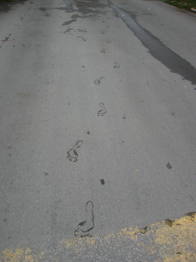
Here's how a tour of Cedarbrook Park was accomplished 50 years ago:

awalkinCedarbrook.jpg
 
Ha!

I would not suggest going barefoot through the creek today. That's just asking for a tetanus shot!

I might try the lederhosen next time though... :)
 
Ha!

I would not suggest going barefoot through the creek today. That's just asking for a tetanus shot!

Don't knock it till you've tried it. :) A little tetanus shot (in advance) is a small price to pay to have the freedom to enjoy nature and take pretty much any picture you like while you're at it. :)

Judging from the return of the fish, I think our rivers are cleaner now than they were 50 years ago... not that I'd drink from them or anything, but wandering back and forth for a quarter of an hour or so shouldn't be a problem... and I'm glad we in Toronto have that privilege without having to drive two hours out of town and back! :)

9eec772c.jpg
 
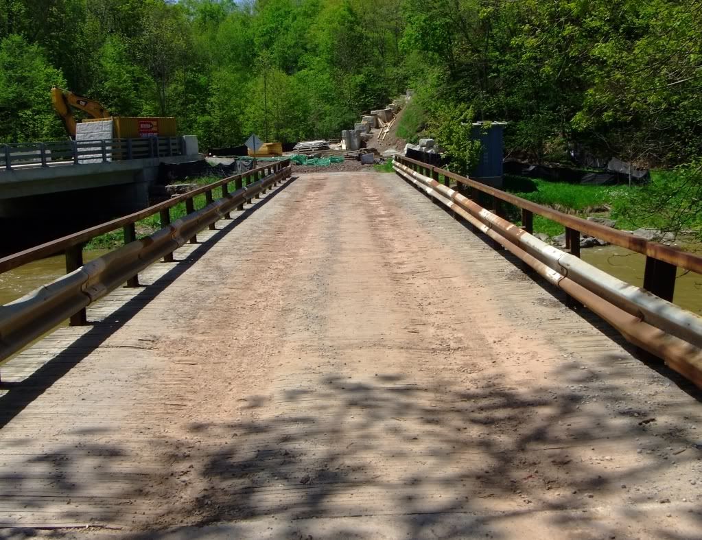
Here's a lovely little bridge, called Barnstable Bridge I believe, on Lower Base Line Road across Sixteen Mile Creek. I've been taking shots and vids of it for the past couple of years due to the new two-lane bridge Halton's been building just to the left there. I took this shot last May when the road was closed to build the course to the new bridge, which has been sitting there finished and waiting for a couple of years. I was hoping they'd save this old bridge for pedestrians, bathers, and fishers, but when I drove down there Christmas Eve, this little bridge was gone. What a shame.

b49e3e47.jpg
 
Last edited:
I wonder what would have happened to that small section of Parkdale that sat south of the railway tracks if it wasn't demolished to make way for the Gardner and Lakshore Blvd. Sitting right beside the lake and the exibition it would have made an excellent tourist area filled with shops and restaurants and probably kept the Ex and Sunnyside alive all year 'round (mini port lands?). I really wonder if our forefathers really thought of the future when they decided about their plans... probably not, we don't think further ahead then the next budget cycle now so could we blame them?
 
Mimico Creek - rocky road

Starting off 2012, I thought I'd give the east end a bit of a break, and head west to Etobicoke and the mighty Mimico Creek. Beginning in Islington, I head south at sunrise under Dundas Street into Thomas Riley Park:

64707676.jpg
64707680.jpg


64707686.jpg
64707690.jpg


64707692.jpg
64707697.jpg


64707700.jpg
64707703.jpg


64707708.jpg
64707716.jpg


64707839.jpg
64707846.jpg


64707849.jpg
64707854.jpg


64707862.jpg
64707864.jpg


Past Bloor Street, and into the Spring Garden Park area, where things begin to get decidedly more stoney:

64708009.jpg
64708016.jpg


64708035.jpg
64708030.jpg


64708022.jpg
64708040.jpg


64708043.jpg
64708047.jpg


It's not only the creek banks here that are steeped in stone. I look down and notice that instead of the usual soil or concrete riverbeds that I've become accumstomed to, Mimico seems to be paved with nature's own concrete - shale bedrock:

64708052.jpg
64708223.jpg


64708229.jpg
64708234.jpg


64708240.jpg


Man too, however, has made his own contributions:

64708248.jpg
64708257.jpg


64708261.jpg
64708267.jpg


The Mimico, at points, is so littered with rocky debris that, for significant stretches, I can walk right down the middle of the creek:

64708272.jpg
64708290.jpg


64708435.jpg


But I've been lured into a false sense of security, and just south of Meadowcrest Road I'm forced to scale a precarious series of backyard retaining walls to keep from soaking my legs in the deepened, icy waters (I should probably invest in a good pair of hip waders if I'm going to keep doing this!):

64708513.jpg
64708445.jpg


64708451.jpg
64708460.jpg


64708468.jpg
64708474.jpg


64708518.jpg


Under Royal York Road, into Reid Manor Park, where I'm able to continue my rocky river walk:

64708495.jpg
64708502.jpg


64709728.jpg
64709738.jpg


64709744.jpg
64709753.jpg


64709761.jpg
64709766.jpg


64709771.jpg
64709784.jpg


64709792.jpg
64709800.jpg


64709999.jpg
64710012.jpg


64710025.jpg


Heavy landscaping on a new creekside feature heralds my entrance into Berry Road Park, as the Mimico cuts through a deep valley and progresses towards Woodford Park:

64710032.jpg
64710044.jpg


64710048.jpg
64710053.jpg


64710069.jpg
64710072.jpg


64710079.jpg
64710272.jpg


64710285.jpg
64710278.jpg


64710295.jpg
64710313.jpg


Through The Queensway now, as the Mimico widens and the natural creekbed gives way to a massive concrete flume under the QEW:

64710303.jpg
64710321.jpg


64710327.jpg
64710331.jpg


64710335.jpg
64710490.jpg


64710495.jpg
64710502.jpg


64710509.jpg
64710536.jpg


64710528.jpg
64710517.jpg


Past the GO Transit rail line, and Lake Shore Boulevard, and into Humber Bay Park where the mighty Mimico empties, at last, into Lake Ontario:

64710612.jpg
64710557.jpg


64710593.jpg
64711179.jpg


64711189.jpg
64711196.jpg


64711210.jpg
64711219.jpg


64711231.jpg
64711236.jpg


64711241.jpg
64711245.jpg


64711250.jpg
 
Last edited:
1: They were indeed - or at least the soles of some type of footwear. A curious bit of decoration, if that's what they are, since I can't imagine many people would get out that far in the creek to ever see them...


2: Excellent guess! I didn't keep exact time or anything, but I believe I started around 8am and ended around noon - so, yes!
 

Back
Top