You are using an out of date browser. It may not display this or other websites correctly.
You should upgrade or use an alternative browser.
You should upgrade or use an alternative browser.
Rare Maps of Toronto
- Thread starter thecharioteer
- Start date
plink
New Member
What would Google Maps for Toronto look like in 1858? My friend and I pasted together the 30 plates of the Boulton Atlas of the City of Toronto to find out...
Check it out!
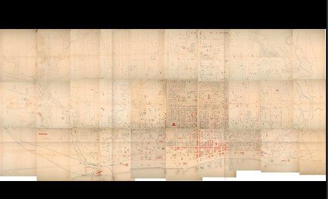
Though it might not be a 'new' map, it's still pretty amusing to play with for a couple minutes. Enjoy.
Check it out!

Though it might not be a 'new' map, it's still pretty amusing to play with for a couple minutes. Enjoy.
Last edited:
J T CUNNINGHAM
Senior Member
"What would Google Maps for Toronto look like in 1858? My friend and I pasted together the 30 plates of the Boulton Atlas of the City of Toronto to find out..."
QUOTE: plink.
Once again, Nathan, along with Carrie, never fails to Impress!
Regards,
J T
QUOTE: plink.
Once again, Nathan, along with Carrie, never fails to Impress!
Regards,
J T
DSC
Superstar
Member Bio
- Joined
- Jan 13, 2008
- Messages
- 18,626
- Reaction score
- 25,360
- Location
- St Lawrence Market Area
That's a fun map! Now you just need to link to contemporary streetview photographs. :->
thecharioteer
Senior Member
Very nice, Nathan! One minor suggestion, though: shift the maps north of Queen to make the width of Yonge more consistent (and line up Osgoode Hall to reflect its position at the top of York).
Goldie
Senior Member
plink
New Member
Very nice, Nathan! One minor suggestion, though: shift the maps north of Queen to make the width of Yonge more consistent (and line up Osgoode Hall to reflect its position at the top of York).
There were a number of challenges piecing the maps together — the plates weren't all quite at the same scale, there were subtle inaccuracies, and the scans weren't at the same scale or orientation often. In other words things didn't actually fit together. As a result a number of streets (incl. Yonge) were blatantly 'sacrificed' in order to preserve approximate alignment elsewhere. My hope was that the discrepancy is sufficiently egregious that people will understand it was done for expediency.
wrt Osgoode Hall -- yes, I'm clipping the east wing instead of facing York head on. Sigh.
The 2009 Found Toronto exhibit from ERA did a better job (well, that's the difference between paid professionals and amateurs) but alas, they had only kept a low-resolution version around.
plink
New Member
I'm delighted to share an exciting new online project by Chris Olsen, called the Toronto Historic Maps viewer (although I didn't work on it I had an oblique role in its creation -- see link below). It's an interactive map that allows you to pan around and zoom in and out of various historical plans (including the previously discussed 1858 Boulton Atlas). What's more, you can easily switch between years to see how neighbourhoods evolve and change over time. Please explore and share!
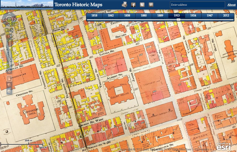
Click here to find out more...

Click here to find out more...
DSC
Superstar
Member Bio
- Joined
- Jan 13, 2008
- Messages
- 18,626
- Reaction score
- 25,360
- Location
- St Lawrence Market Area
WOW! Amazing tool. Thanks
mattelderca
Active Member
Fantastic work by you both!
How about an even bigger, massive, project? A real challenge, index all the street level photographs by year and location and create sort of a streetview level for each year! It wouldn't be too much work, would it?
How about an even bigger, massive, project? A real challenge, index all the street level photographs by year and location and create sort of a streetview level for each year! It wouldn't be too much work, would it?
W. K. Lis
Superstar
*****
5 stars!
Zoomed over to Queen & Sunnyside to slide over the changes from pond to houses to The Queensway, over the years. Interesting changes.
5 stars!
Zoomed over to Queen & Sunnyside to slide over the changes from pond to houses to The Queensway, over the years. Interesting changes.
thecharioteer
Senior Member
I'm delighted to share an exciting new online project by Chris Olsen, called the Toronto Historic Maps viewer (although I didn't work on it I had an oblique role in its creation -- see link below). It's an interactive map that allows you to pan around and zoom in and out of various historical plans (including the previously discussed 1858 Boulton Atlas). What's more, you can easily switch between years to see how neighbourhoods evolve and change over time. Please explore and share!
P
Click here to find out more...
Nathan:
Having trouble opening this on my iPad. Does one need Flash?
Archieindowntown
Banned
Cool!
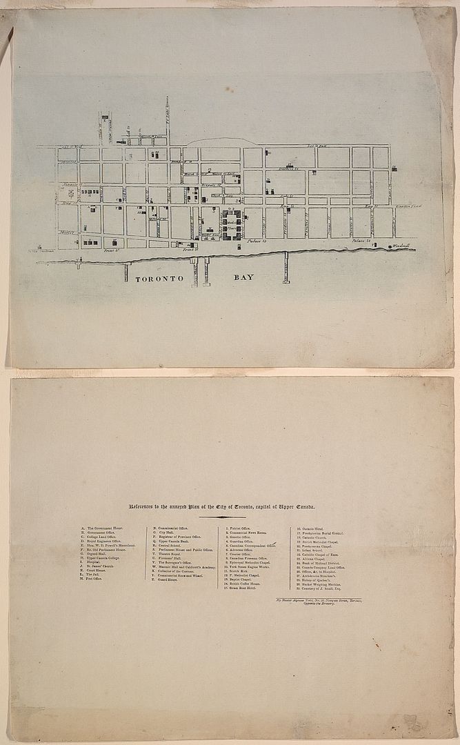
As many of you know, I love old maps, and we've all seen various editions of the Goad Fire Insurance Maps. The Toronto Public Library has recently revamped their website and have posted high-res versions of maps from their extensive collection.
Here are a few:
1792:
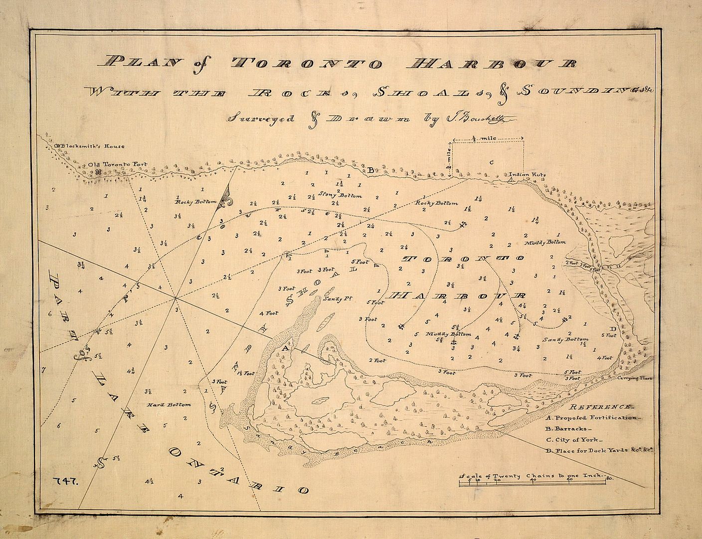
1797:
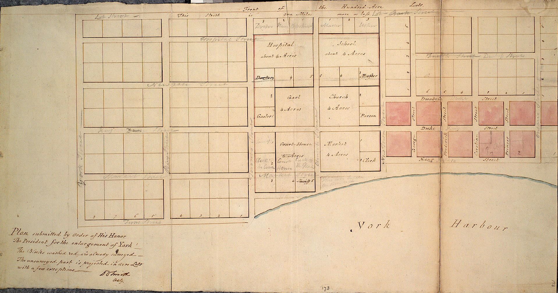
1802:
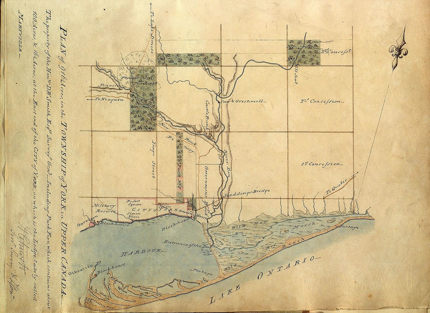
1802: An elegant survey of the property known as Berkeley House, now part of 333 King Street East:
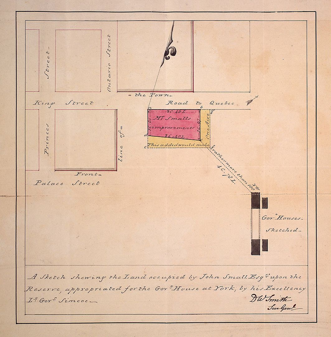
1810, the Don River:
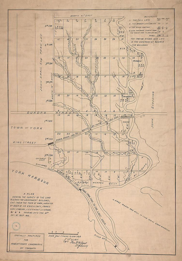
1815:
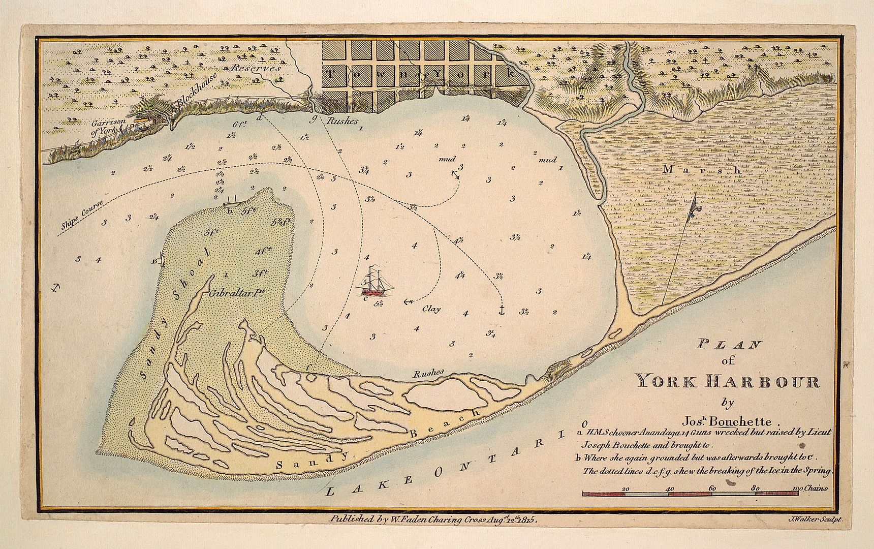
1816:
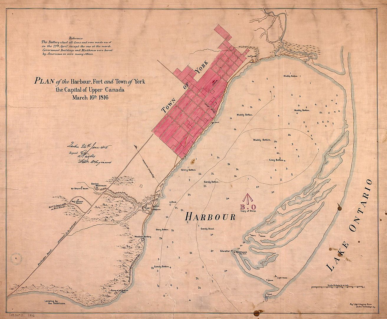
1833: A different way of looking at the City:
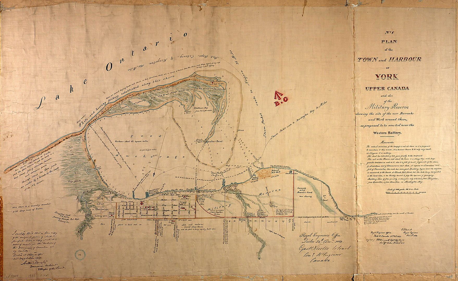
1848:
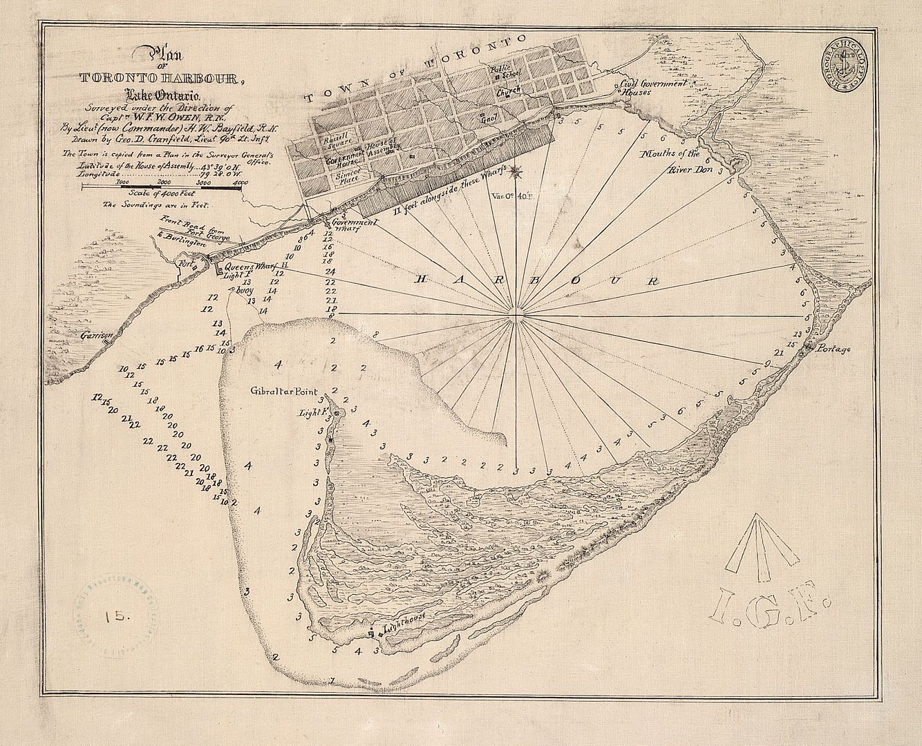
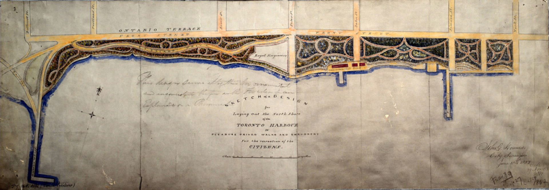
1852: Early version of Harbourfront:
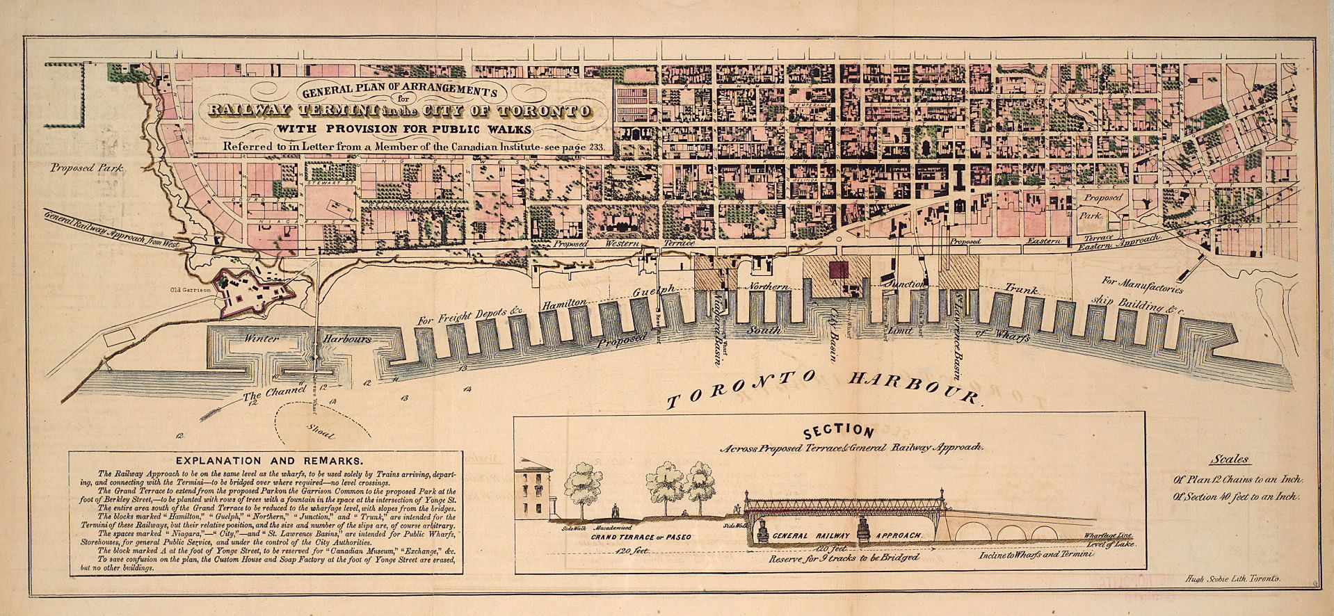
1853: Proposal for "undergrounding" the railroads:
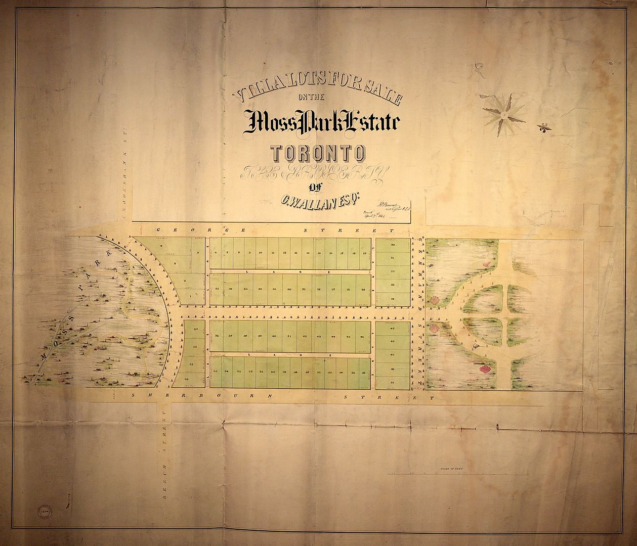
1854: Plan of subdivision for the Allan estate:
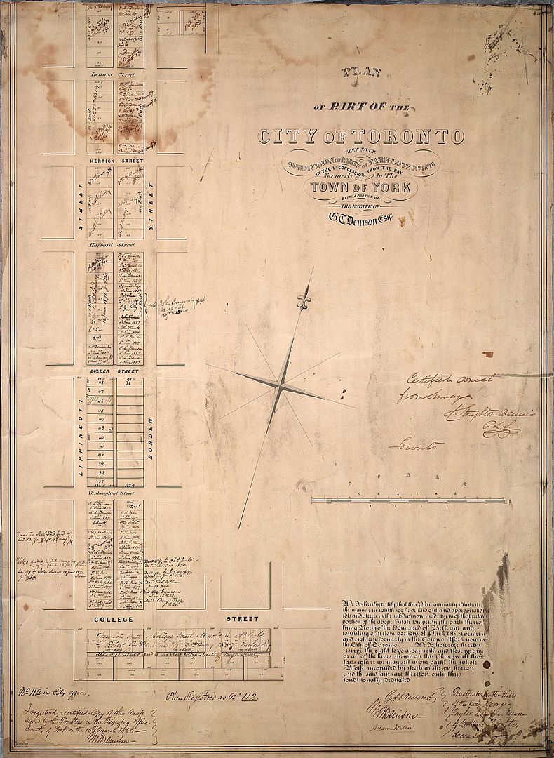
1855: Plan of subdivision for part of the Denison estate:
1877: Plan of Yorkville:
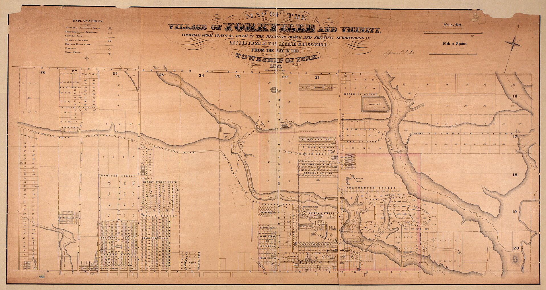
1880: Plan of the location for the new Provincial Parliament:
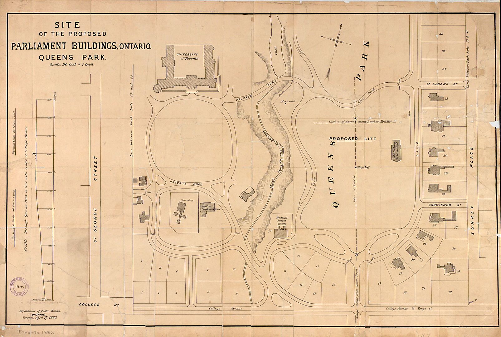
DSC
Superstar
Member Bio
- Joined
- Jan 13, 2008
- Messages
- 18,626
- Reaction score
- 25,360
- Location
- St Lawrence Market Area
Indeed, but take a look at http://oldtorontomaps.blogspot.ca/p/index-of-maps.html and the other sites he has created = links on RHS. Also the "maporama" at http://peoplemaps.esri.com/toronto/Cool!
thecharioteer
Senior Member
Vintage 1954 subway map:

Opening day transfer:

1954 map:
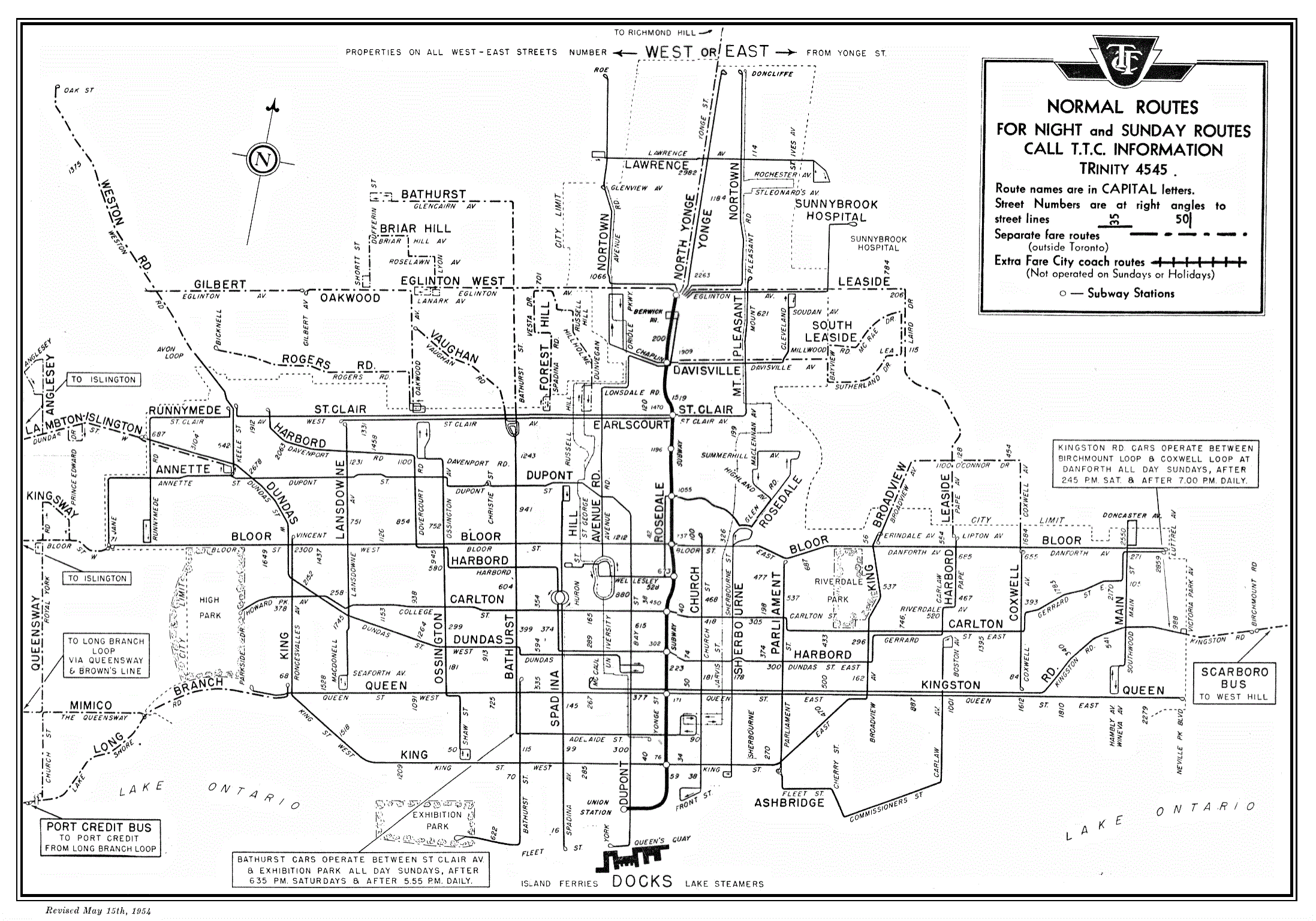
From Ed Levy's (founder of BA Consulting) wonderful web-book:
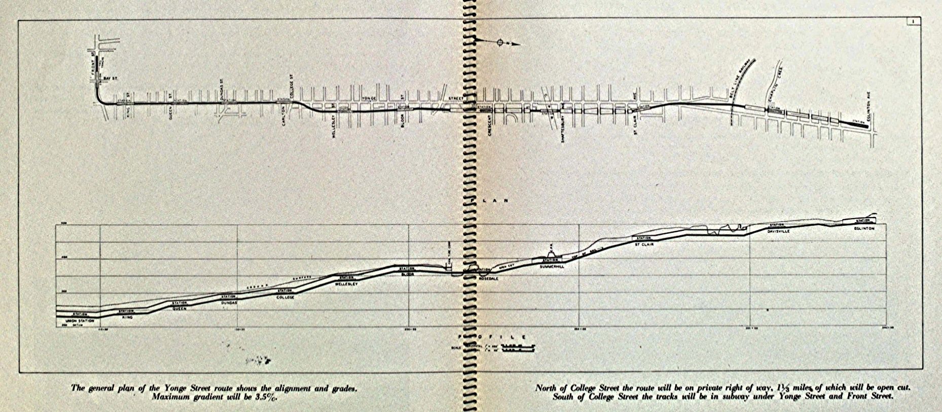
http://levyrapidtransit.ca/5-1-forty-years-of-schemes-and-dreams-finally-spawn-action/#.U4eRAE1OXsR
Opening day transfer:
1954 map:

From Ed Levy's (founder of BA Consulting) wonderful web-book:

http://levyrapidtransit.ca/5-1-forty-years-of-schemes-and-dreams-finally-spawn-action/#.U4eRAE1OXsR
Attachments
Last edited:
