


nfitz
Superstar
What about riders of the TTC Harbourfront LRT?Honestly I don't think people get confused and think LRT is analogous with streetcars, ...
|
|
|
What about riders of the TTC Harbourfront LRT?Honestly I don't think people get confused and think LRT is analogous with streetcars, ...
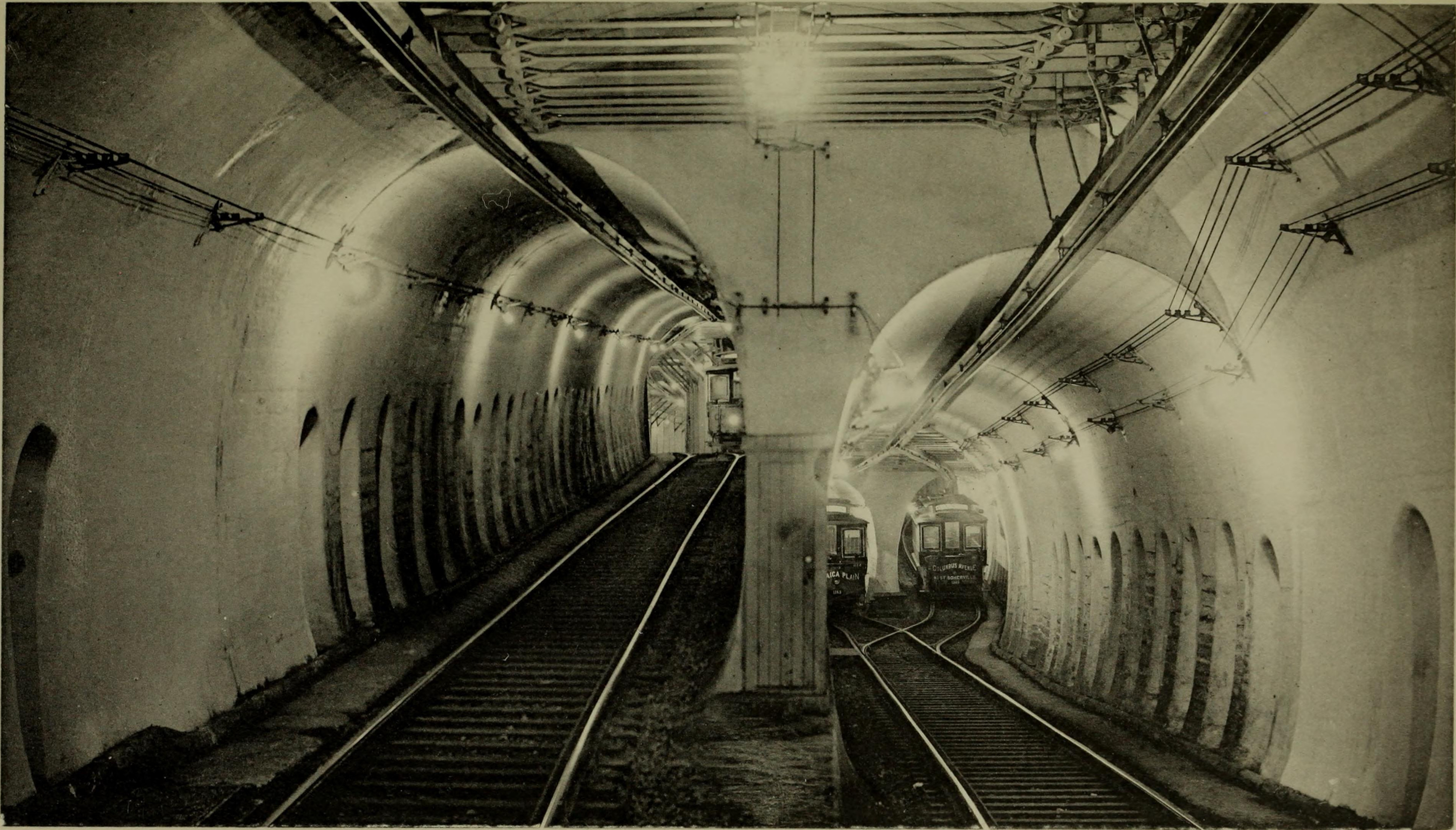
The TTC also used "LRT" when planning and building the Spadina line and St. Clair ROW. They dropped the term after the lines started operation.
Glad to see so many people coming around to the idea that the terms "streetcar" and "LRT" are practically meaningless when being compared to each other. It's a continuum.
It's FAR more meaningful to discuss the design aspects of a line.
Is there going to be any double-track street trackage anywhere? I'm not getting any "streetcar system" impression here.
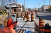
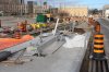
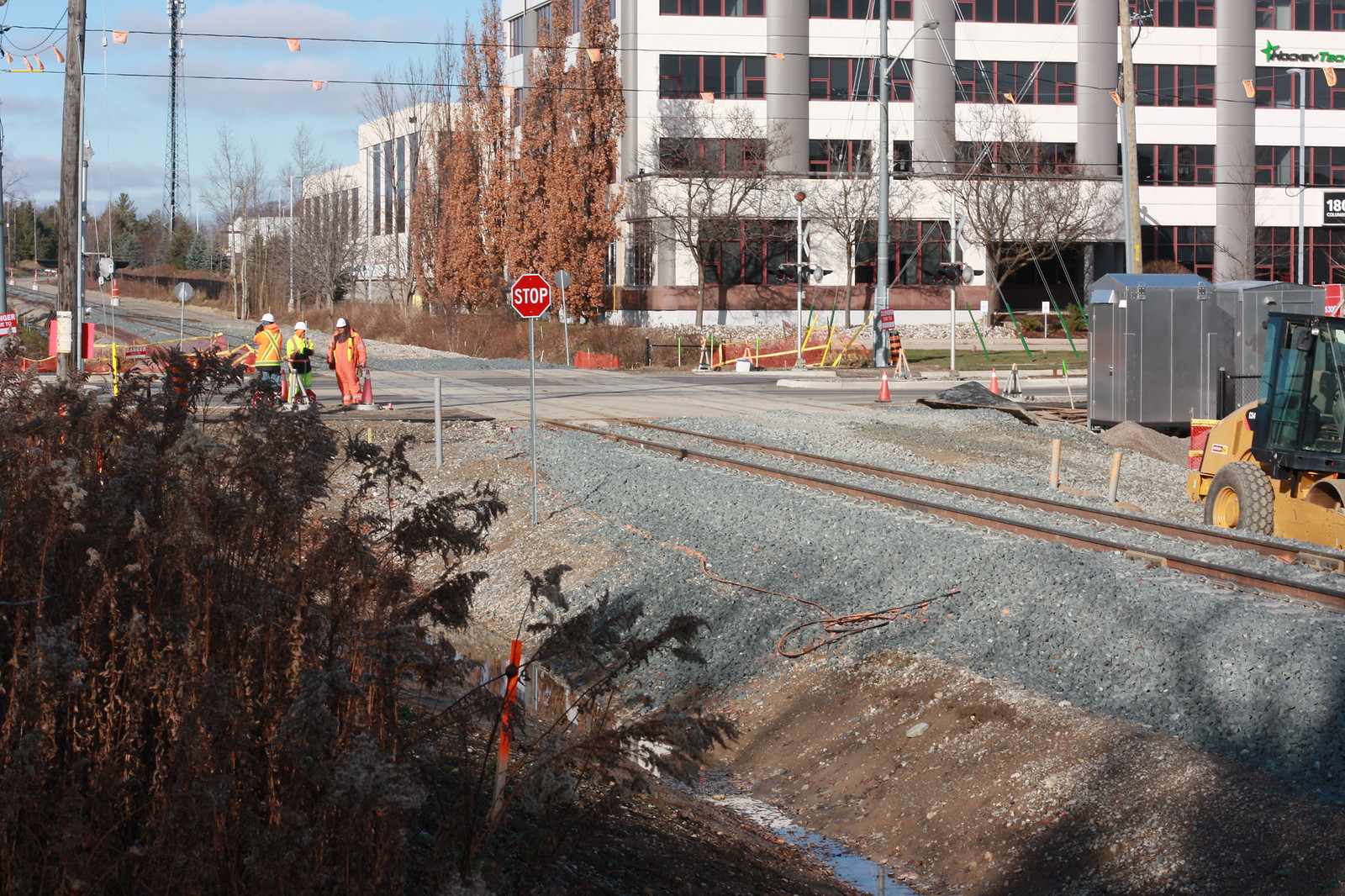 Untitled by ION Construction, on Flickr
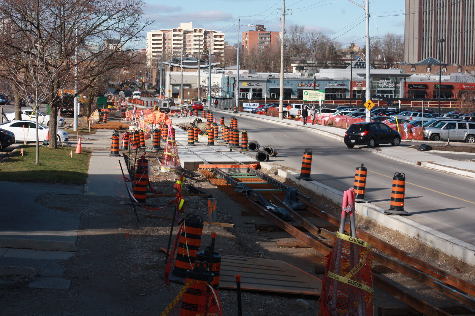 Untitled by ION Construction, on Flickr
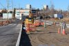
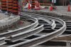
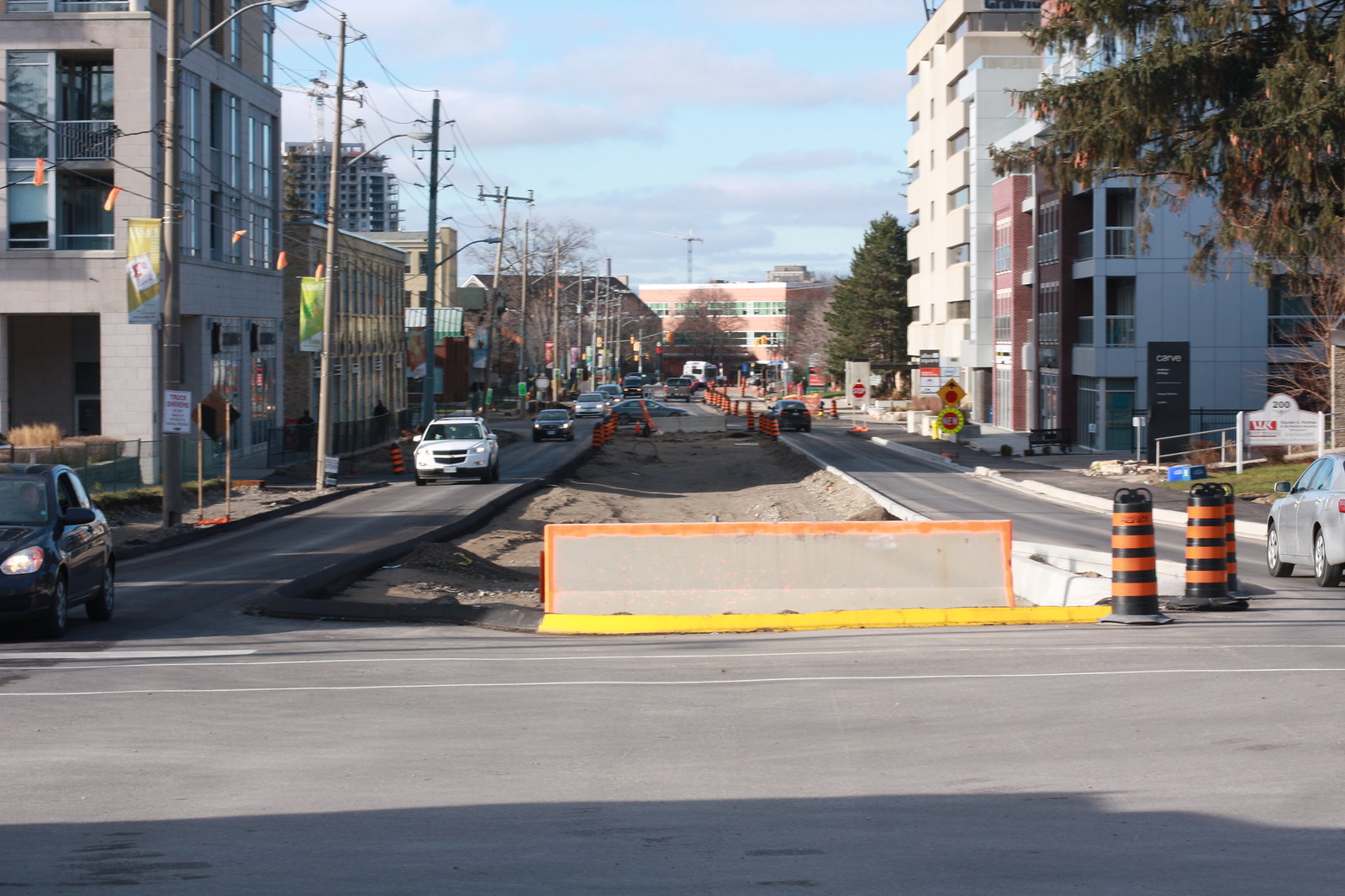 Untitled by ION Construction, on Flickr
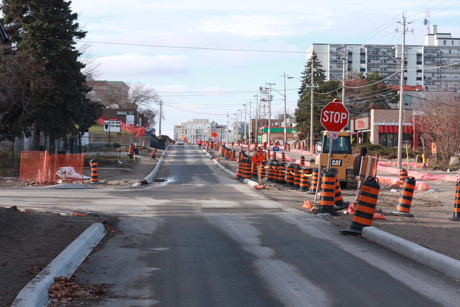 Untitled by ION Construction, on Flickr
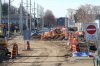
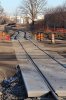
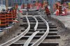
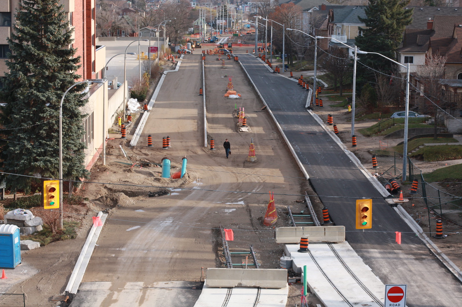 Untitled by ION Construction, on Flickr
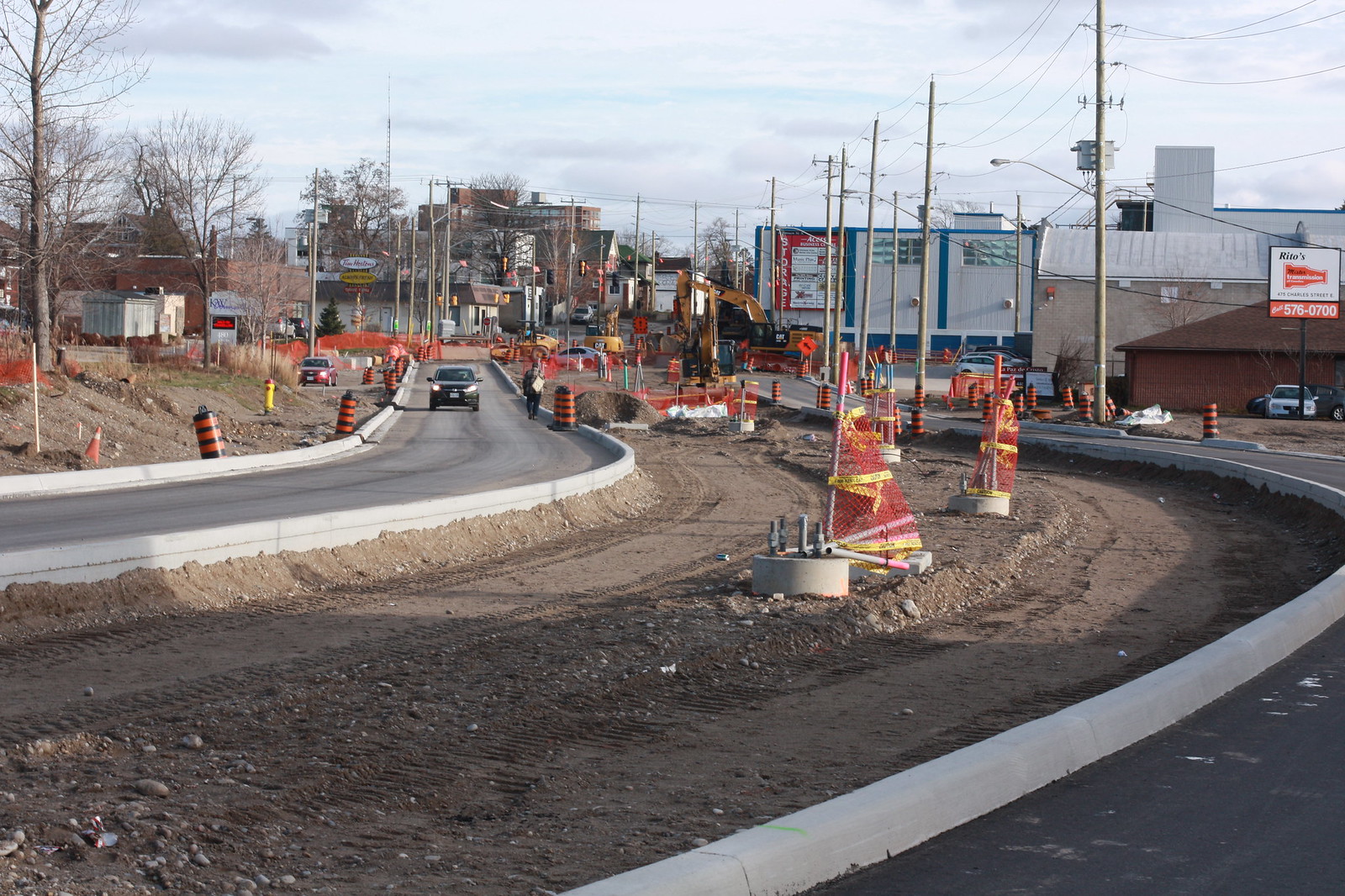 Untitled by ION Construction, on Flickr
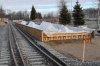
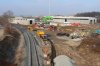
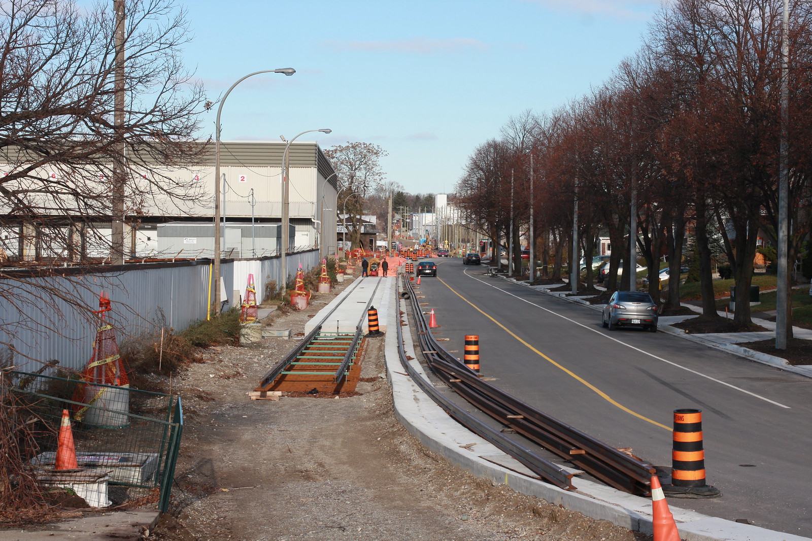 Untitled by ION Construction, on Flickr
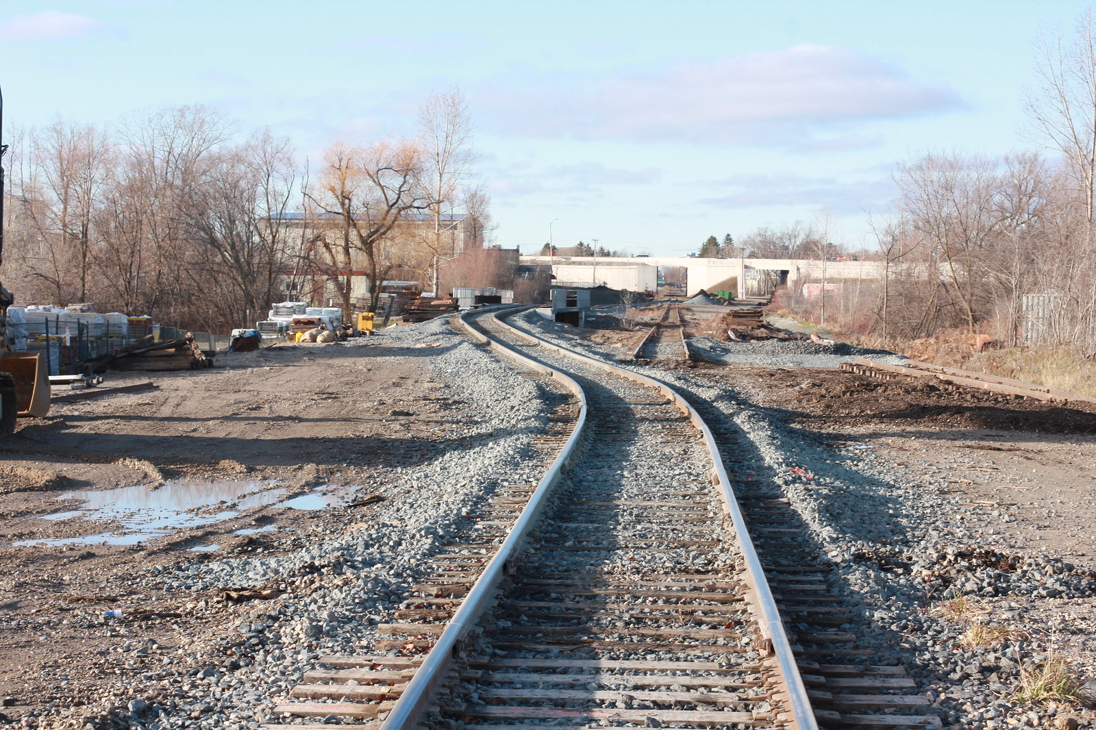 Untitled by ION Construction, on Flickr
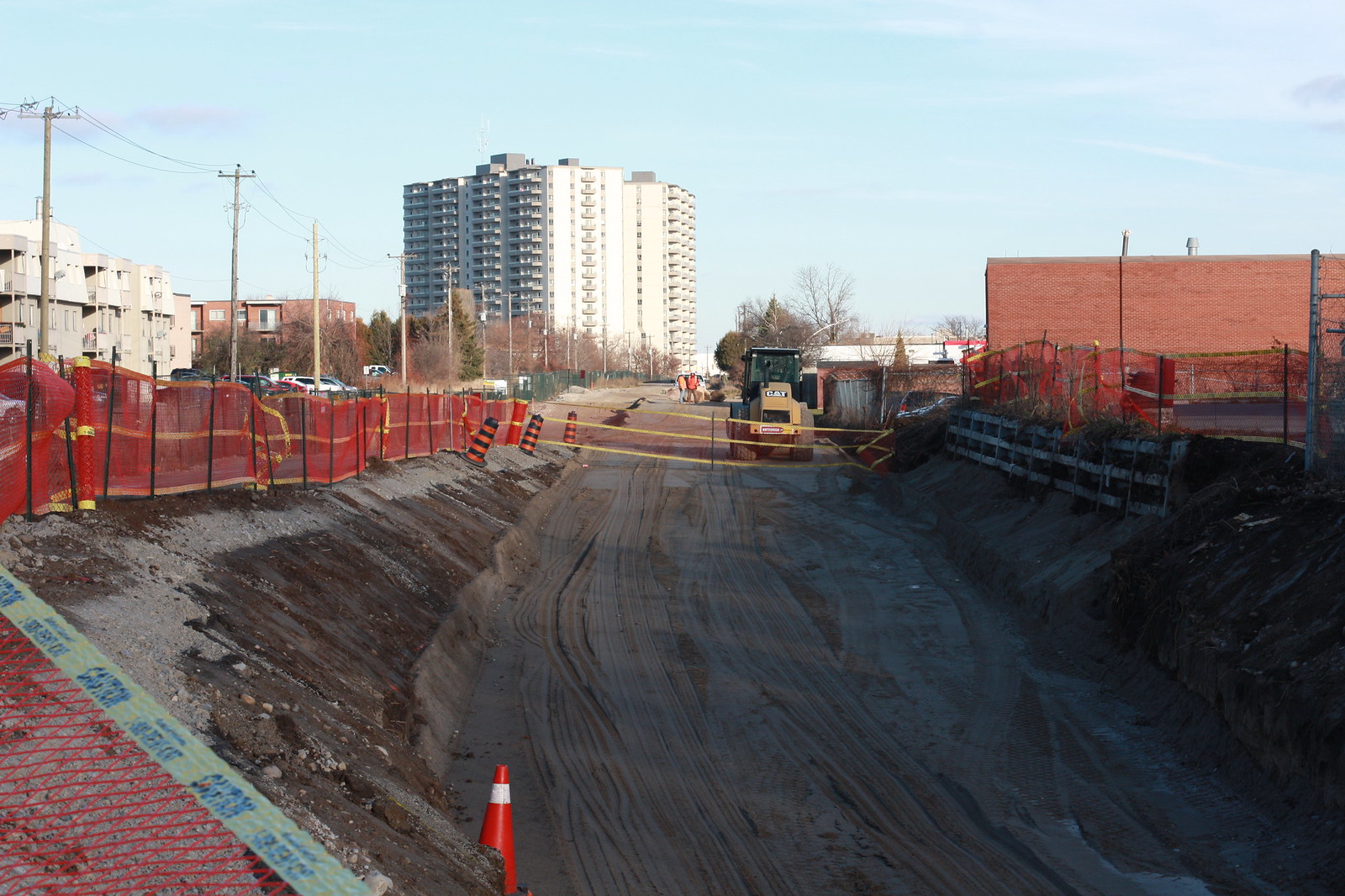 Untitled by ION Construction, on Flickr
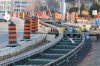
I've always thought that Waterloo Region should be highlighted and congratulated because they looked at all options and came up with great connections in a cost-effective way. In-median, one-way, Hydro ROW, old train tracks, etc.


") I'm not familiar with the term, but I imagine you mean things like the general look and feel of areas along the line?
I'm not familiar with the term, but I imagine you mean things like the general look and feel of areas along the line?