Re: Help with my University project on Queen St. Transportat
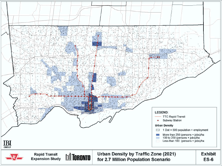
The RTES figures for the RT extension, hence, for 'Markham & Sheppard', include population and employment in Scarborough Centre and are misleading.
Gosh look at a map, it's a totally different area. Yes Markham Road is dense enough to support a subway, three areas: from Ellesmere to McLevin, Lawrence and Eglinton are nodal. If Eglinton and BD/Sheppard takes care of two nodes with an underground 1km tunnel north to Cedarbrae aiding Lawrence then East Scarborough finally gets the type of service long overdue to it.
The RTES is flawed and obsolete.
Anything that justifies subways east of McCowan Road would be labelled as such by the likes of you :rolleyes . Since that's the most recent data we have to go by and the population's ever increasing (fastest growing pop. in the GTA) I'm inclined to believe in it's veracity.
Your description of Brownes Corners is bizarre.
Fine, we'll call it the Sheppard East Industrial Zone Enterprise (SEIZE) then.
Really, they built a tunnel over the river.
I was being sarcastic.
The one east of Bathurst is a hell of a lot bigger.
You know that bridge was reconstructed a few years ago. If they had any foresight they would've accomodated a ROW underneath.
Adding Senlac should ensure Bessarion's no longer the least used subway station, at least.
Bessarion won't be the least used forever. They are several planned condo communities for the Canadian Tire lands. A new NYC bus could be routed via Burbank/Citation/Empress/Park Home/Senlac terminating here bringing a few thousand more per day.
As for Senlac it's very likely it'd be absorbed into NYC within a decade, there's already alot of dentistry/lawyer offices in the area, route 98, mid-rise apts at Brentwood, cemetary, etc. Hell even where construction of the current line ends is merely a block away from Senlac (Welbeck), so if even simply to make the Yonge stop more accessible trains could terminate there and turnback making all 3 platforms and exits accessible.
Yes, I know it exists. It exists on every subway line. That's why I mentioned it.
I was directing that more towards the newbie's assertion about Sheppard. You people spend too mch time worrying about the numbers...costs, budgets, ridership. Everything falls into place once officials are committed to actually building new frigging lines, reducing the number of time commuters have to waste on smelly, lethatgic buses, the only figure we need stress over.
What CSW suggested is not express, it's just slowing to a crawl and rolling through a few stations without stopping. "Express subways" already exist - GO.
How is a surface route that can never maintain the level of service (20 hrs a day, 90-sec reliability, climate controlled) an underground route can a "express subway" :eek ? If you reread my response, I never said to 'expressify' BD. You already know that if I did a west-east DRL it'd go like: Sherway, Kipling South, Humber-Kingsway, Dufferin South, Exhibition, Fort York, Skydome, Union, Distillery, Cherry Street, Riverdale, Coxwell, Victoria Park (note: this doesn't prevent rapid service up Pape/Don Mills or Coxwell/Don Mills and Weston SUB).


") ? I'd like to see this extension too but only if Senlac and Faywood are included. Senlac may be engulfed by a westwardly progressing NYC one day to warrant it. As for Faywood, it's close to several mixed-use low rise office buildings and some developement potential at Wilson Hts.
? I'd like to see this extension too but only if Senlac and Faywood are included. Senlac may be engulfed by a westwardly progressing NYC one day to warrant it. As for Faywood, it's close to several mixed-use low rise office buildings and some developement potential at Wilson Hts.