


smuncky
Senior Member
I've always had this photo project on my mind where I wanted to document the major streets of Toronto. Anything from the streetscapes, buildings and building details, interesting facades, etc.
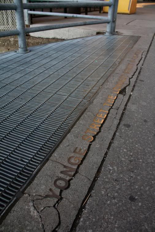
My first street that I thought would be the most appropriate for this is Yonge Street. Can't go wrong with the longest street in the world that runs through many neighbourhoods and changes accordingly with each neighbourhood.
So I started at the foot of Lake Ontario, bright and early (6:30is), and went north to 16th Avenue for the time being. I'm going to be continuing the walk through Richmond Hill and on a bit later. There's going to be a separate thread for Yonge St. in York Region.
Enjoy!
*Most of the shots will be documenting the west side of Yonge since for most of the ~7.5 hour walk was on the east side until I got to North York and walked on the west side.
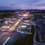
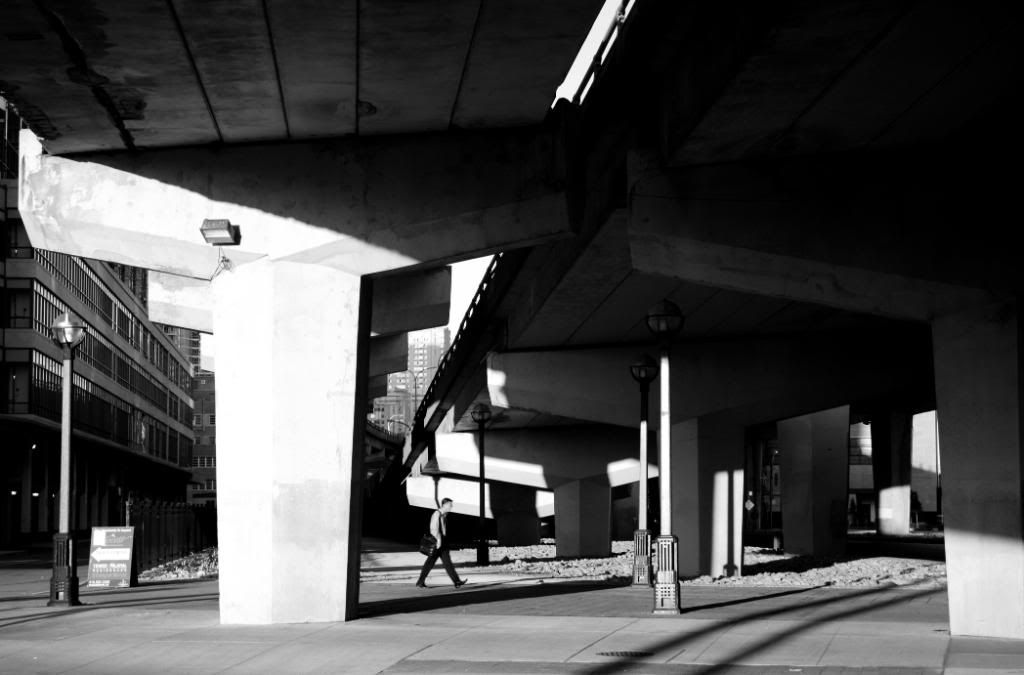
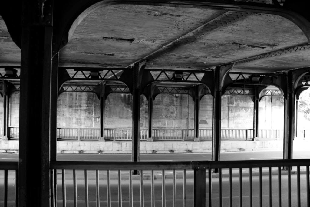
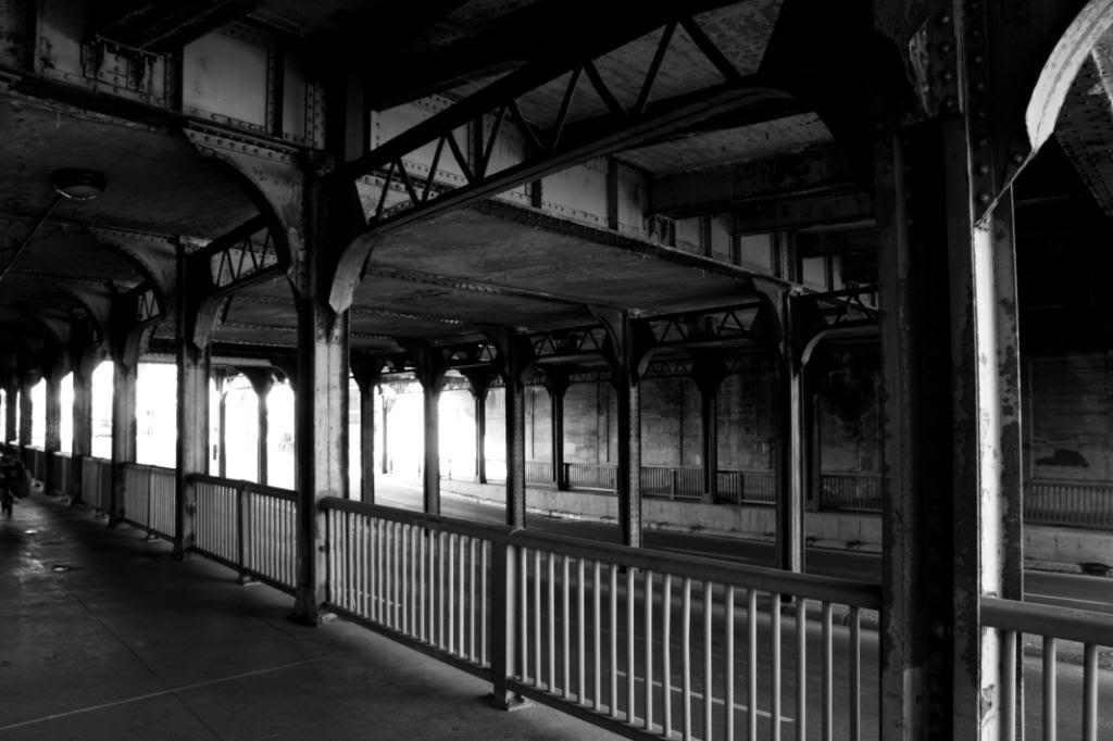
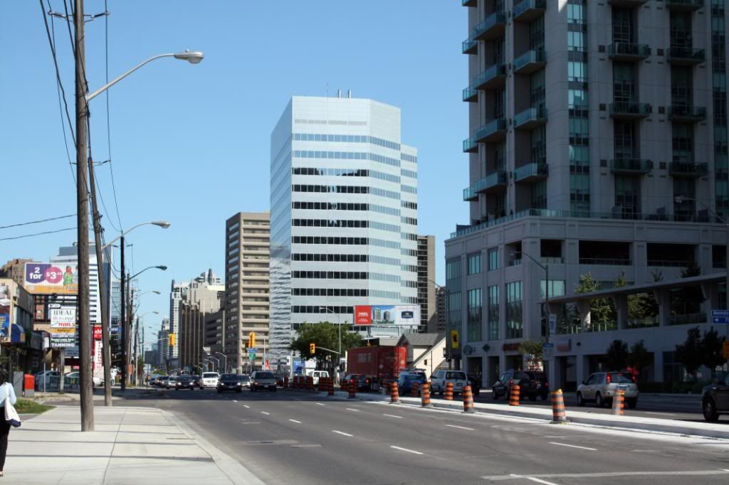
Early morning at Finch Station.

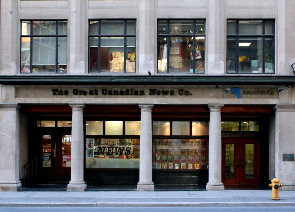
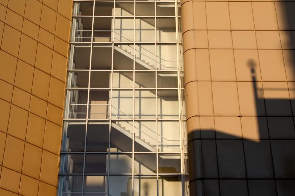
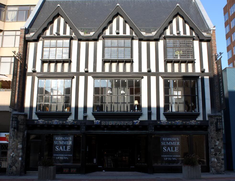
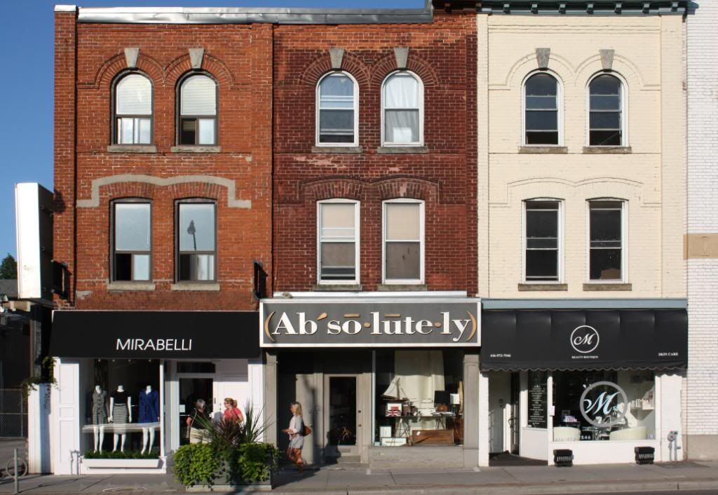
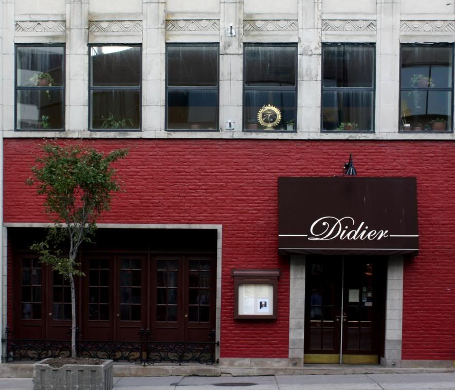
Richtree facade.
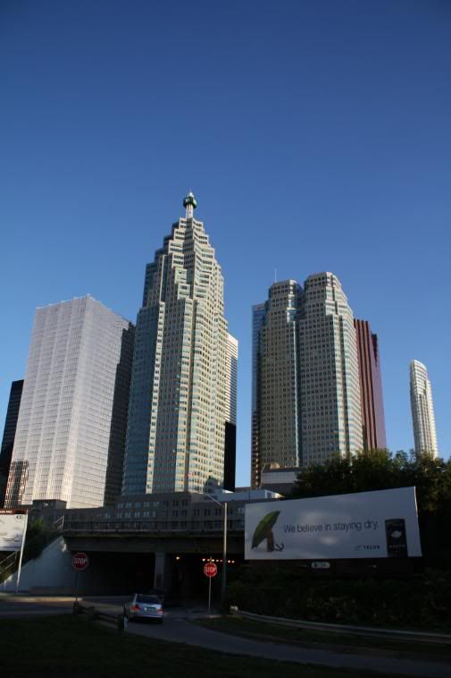
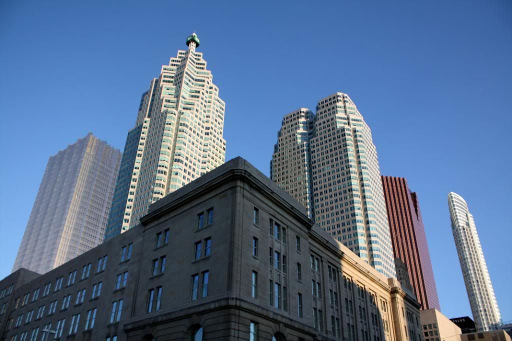
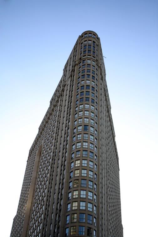
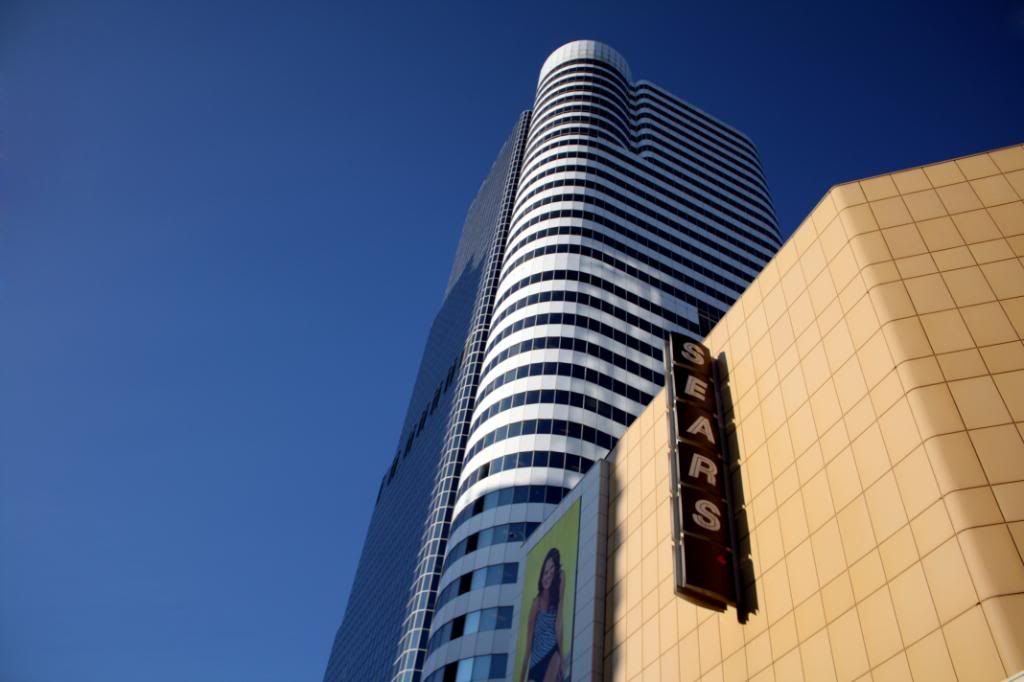
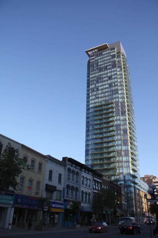
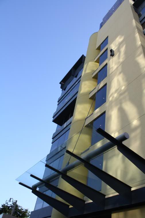
1 King West.
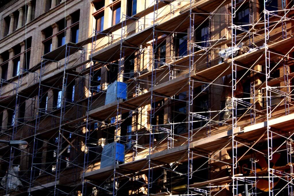
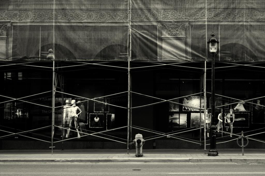
Scaffolding on The Bay.
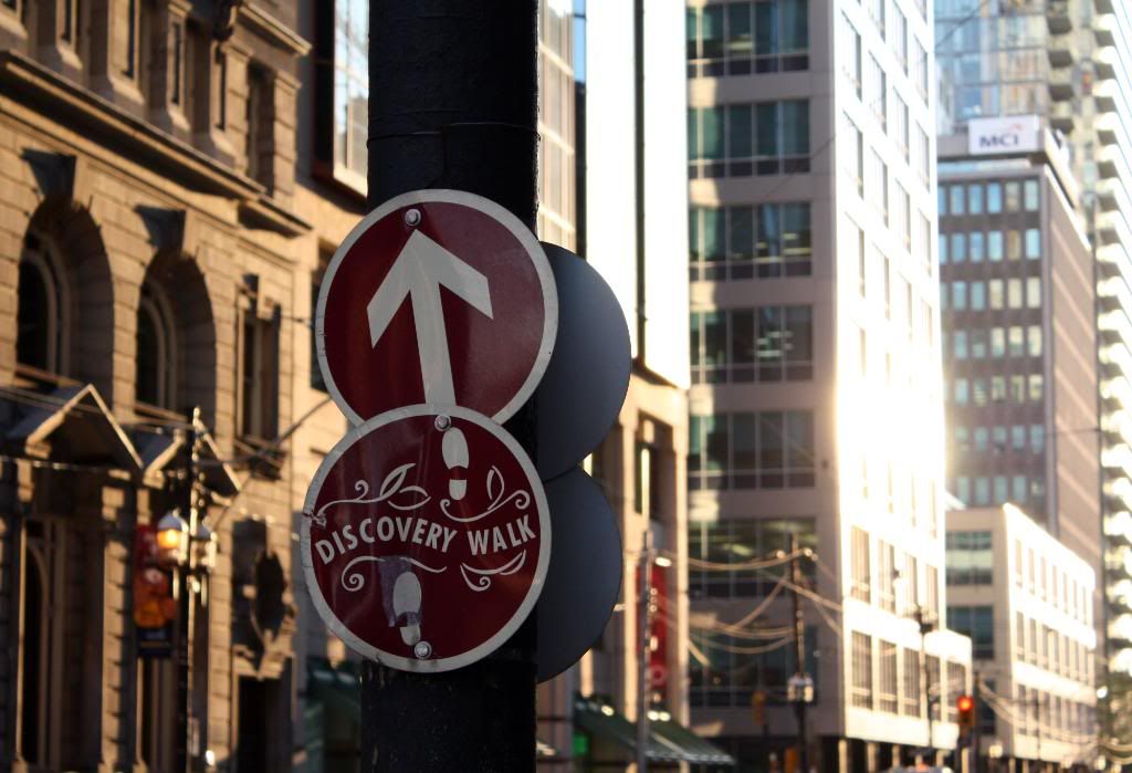
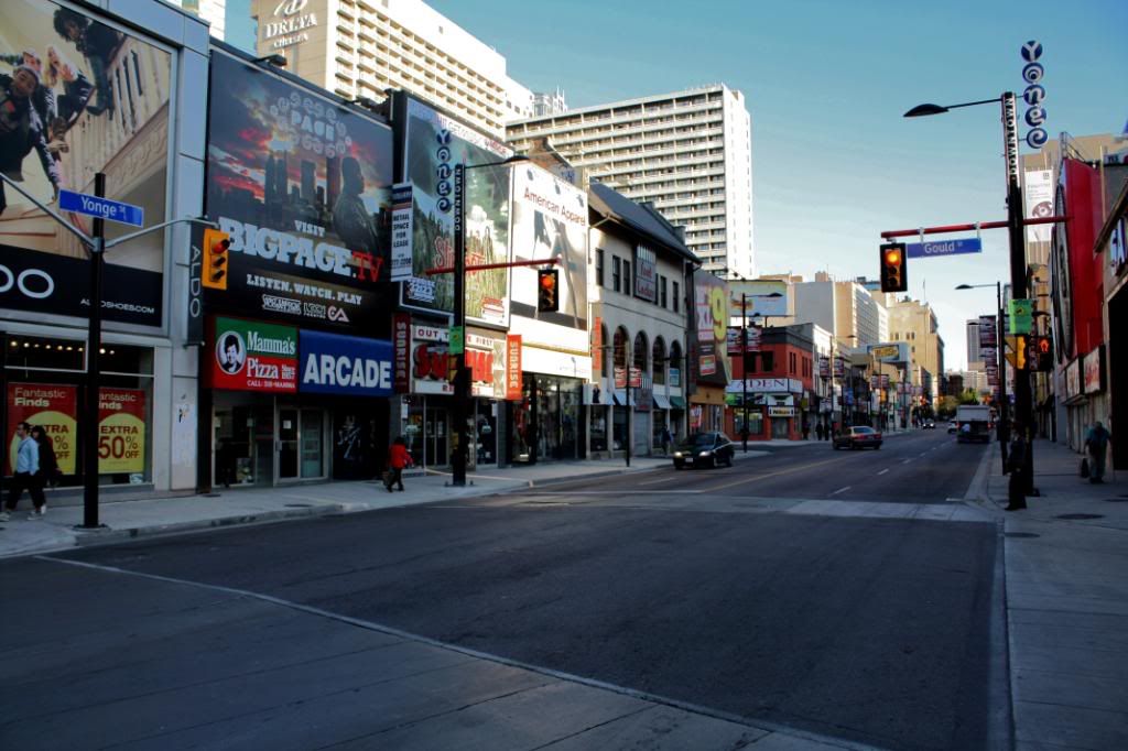
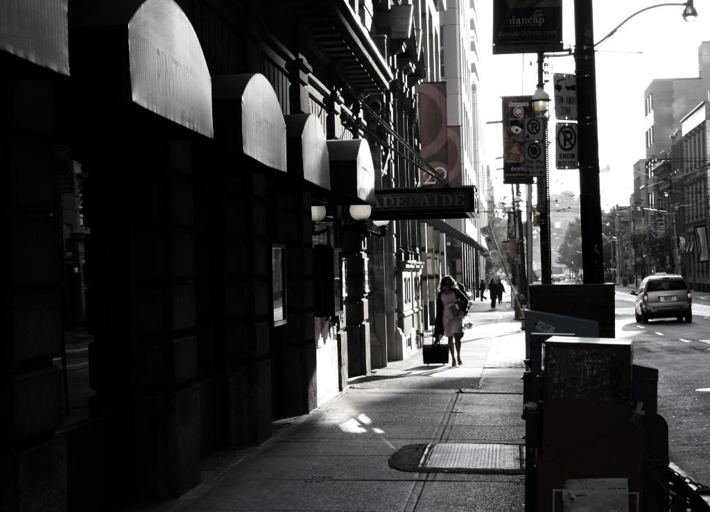
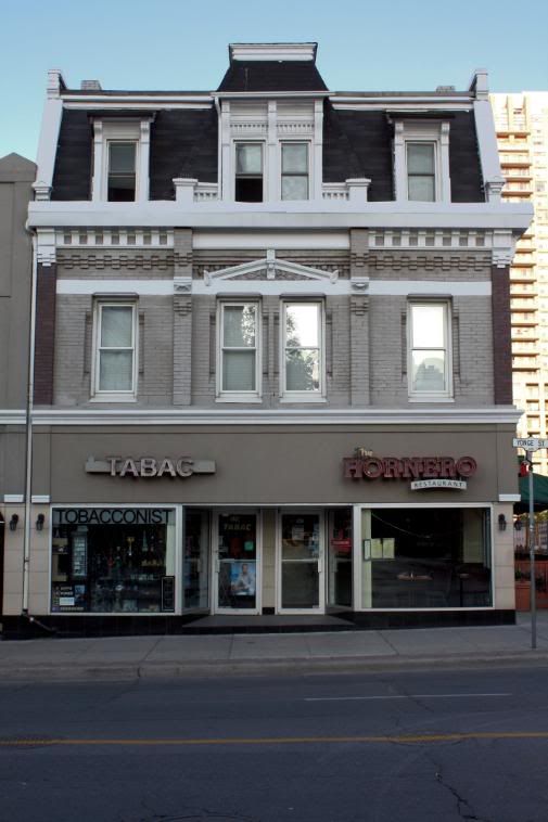
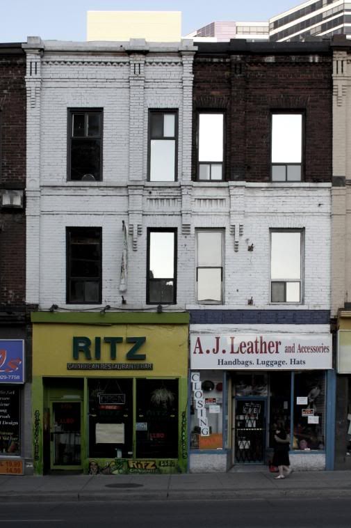
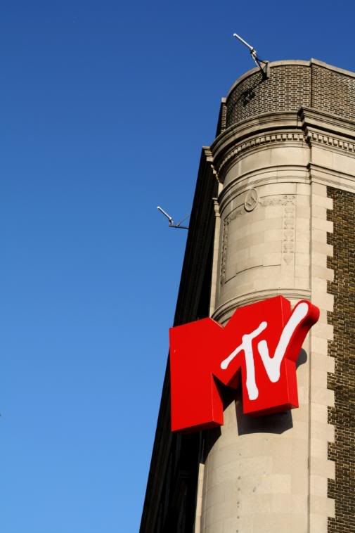
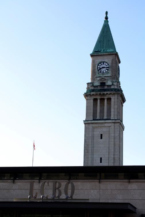
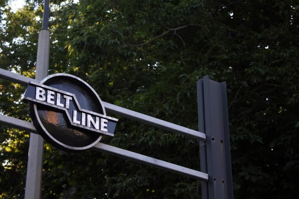
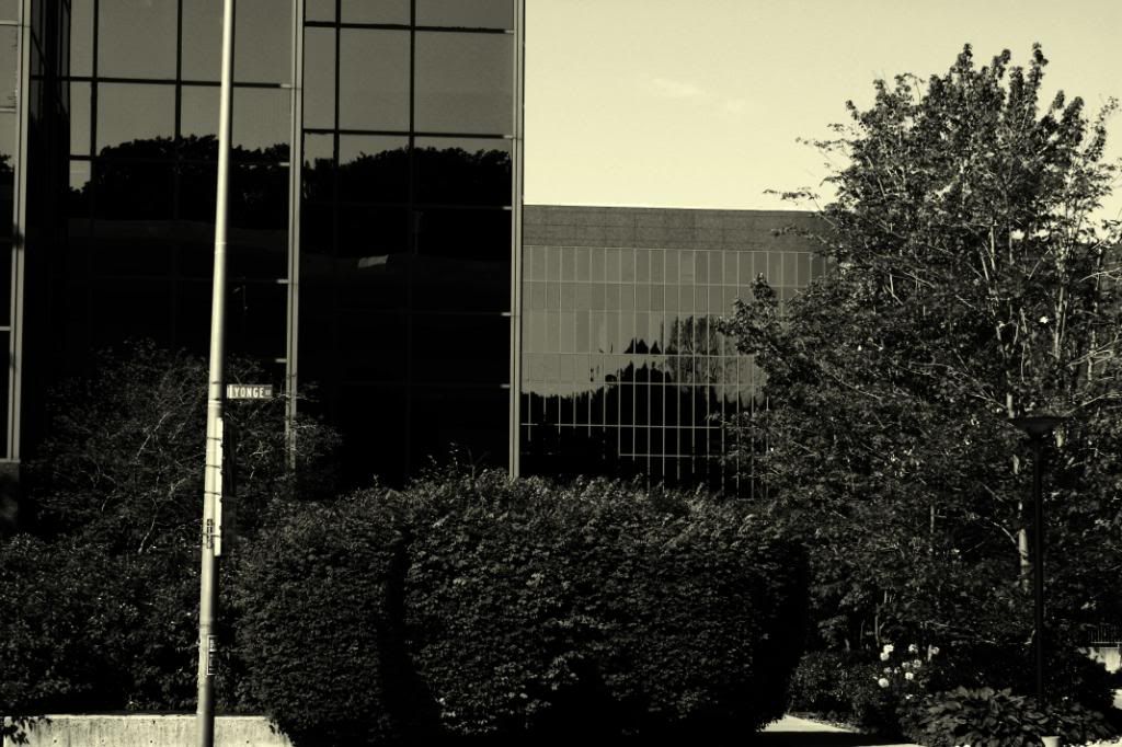
Yonge/Gould.
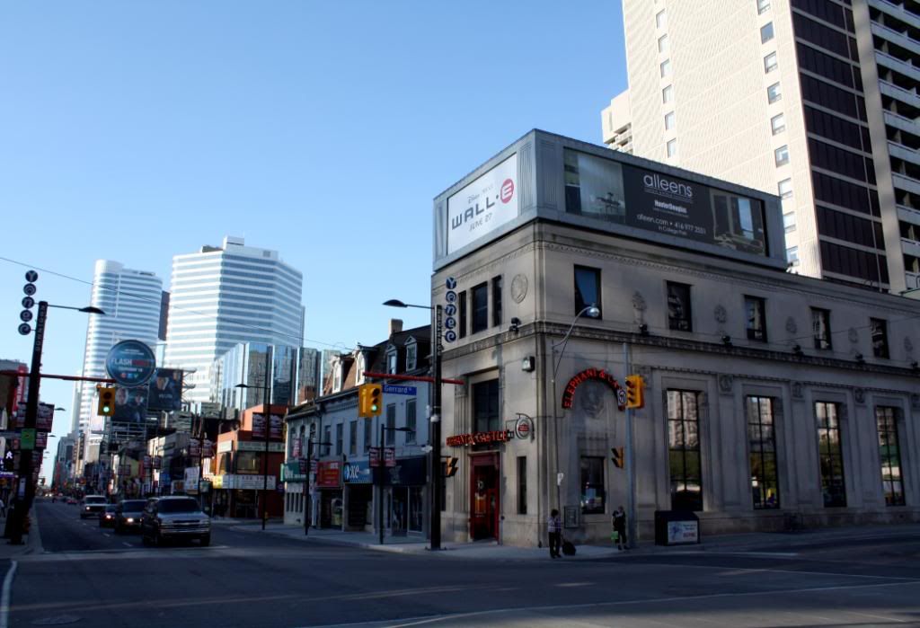
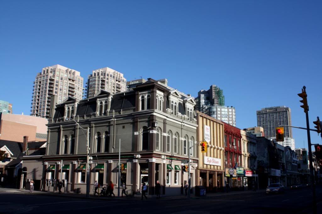
Yonge/Gerrard.
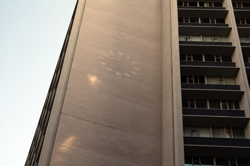
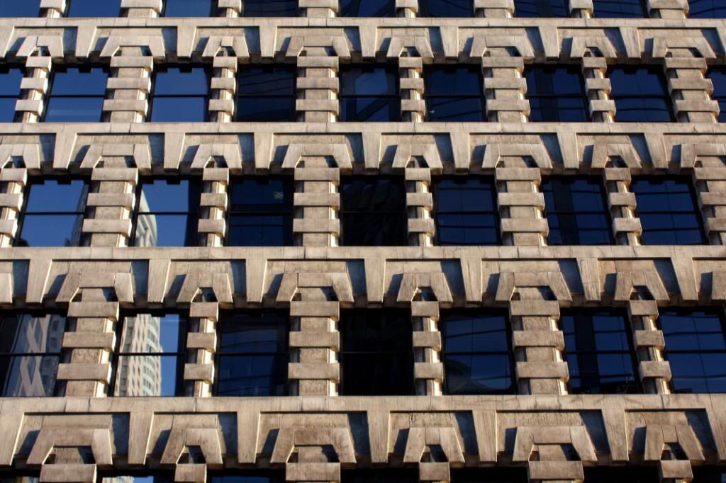
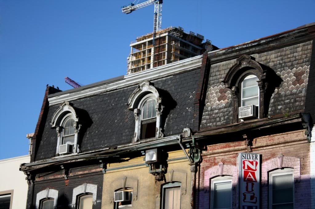
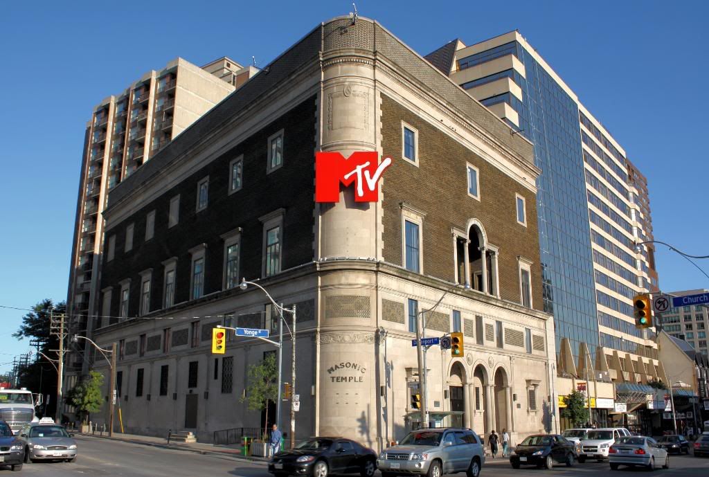
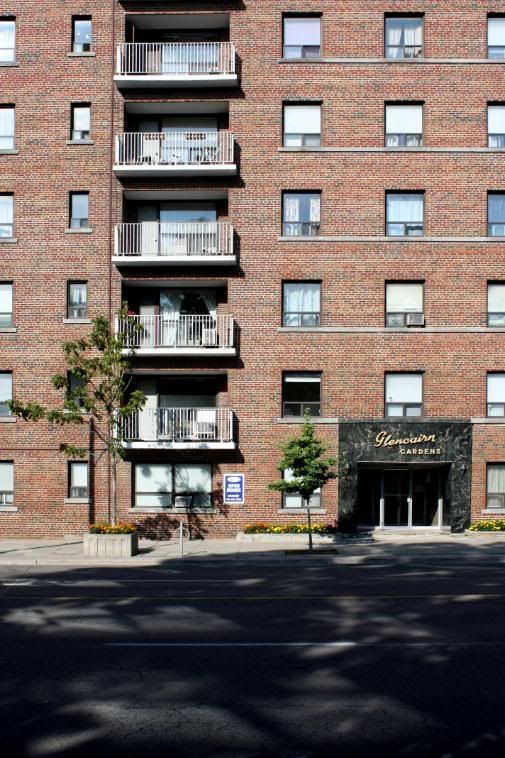
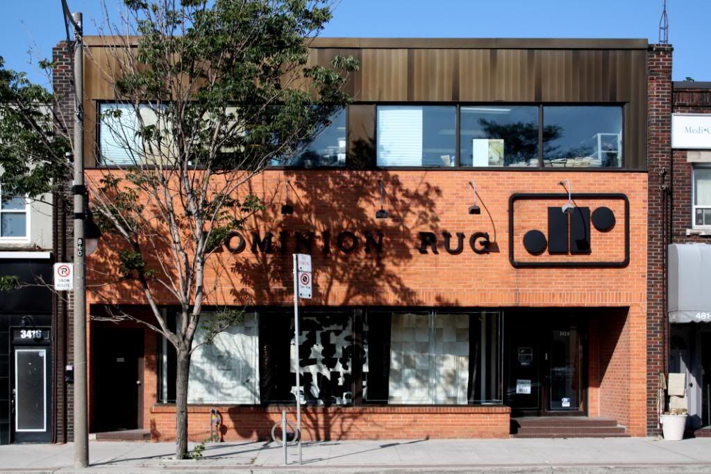
Building at northeast corner of Yonge/Carlton. You can see the remnants of an old clock that was there.
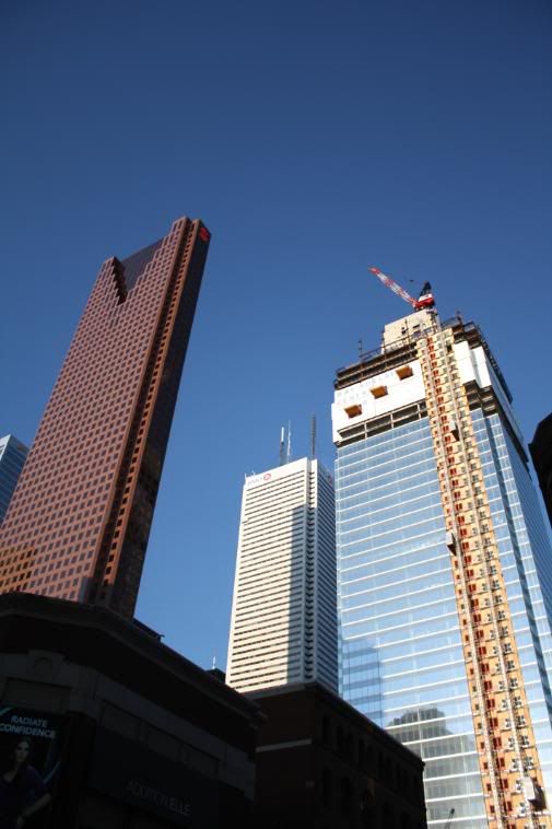
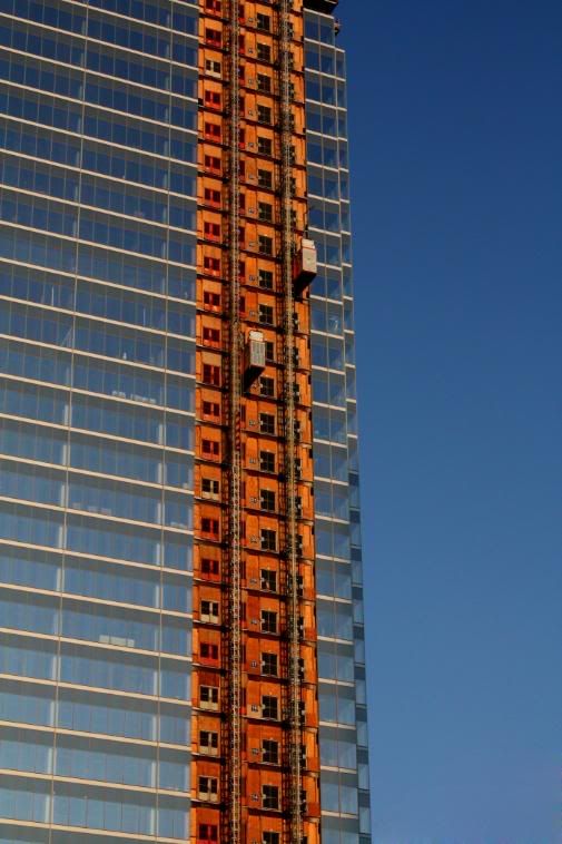
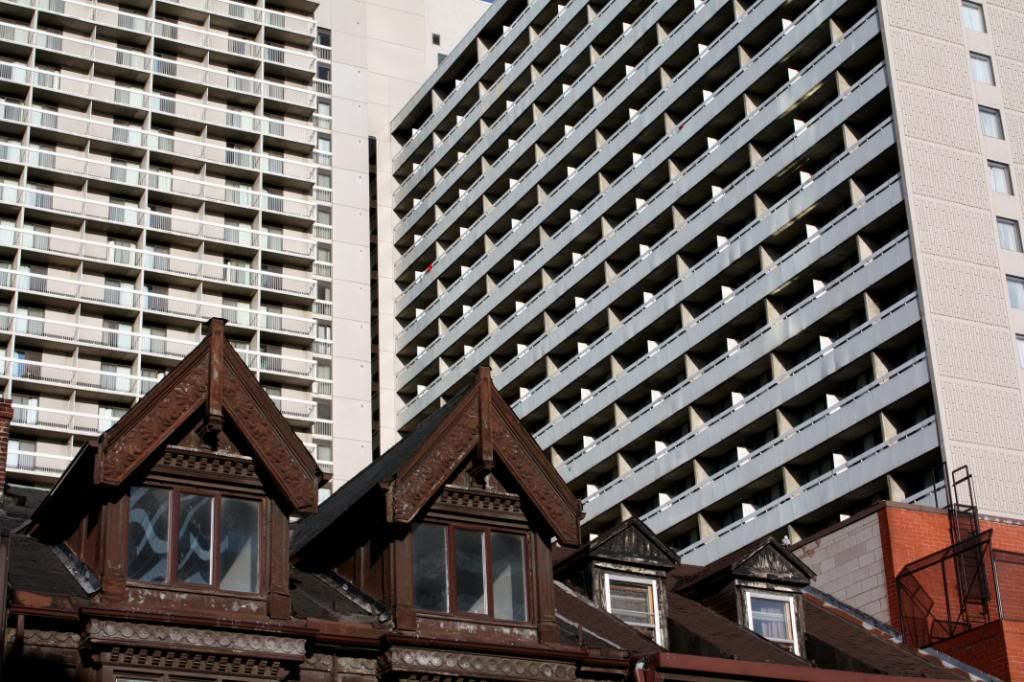
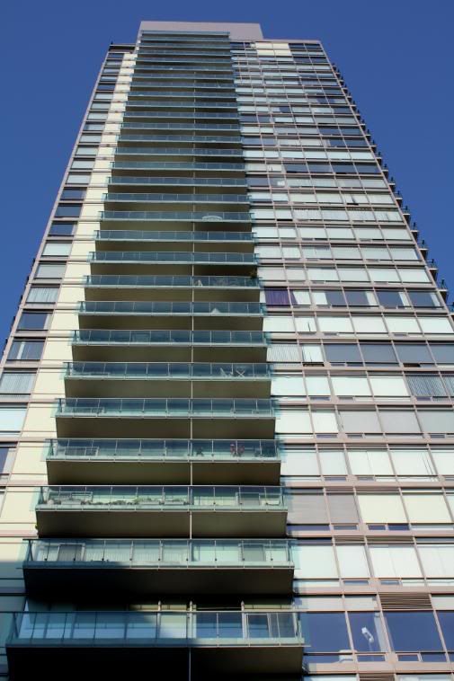
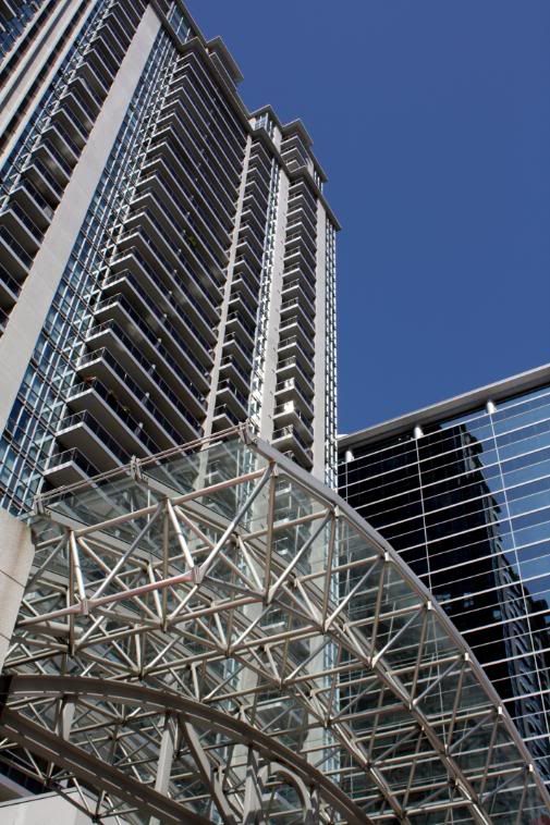
Building beside the 1 Bloor East site.


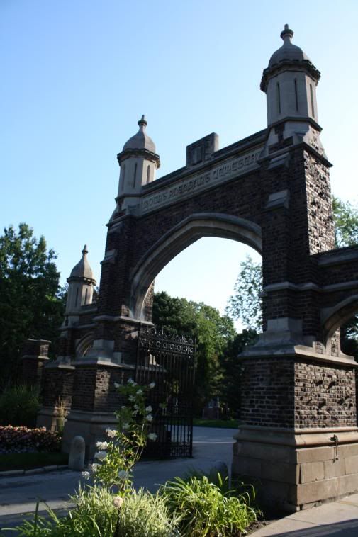
Mt. Pleasant Cemetery.
Yonge/Davisville.
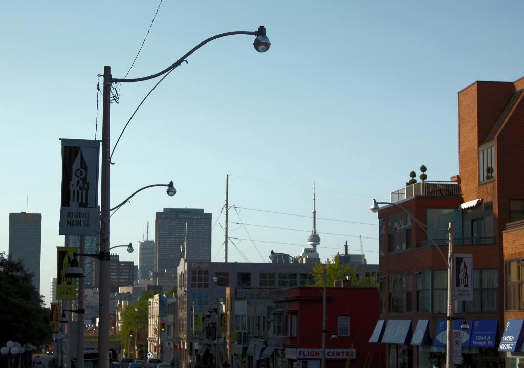
Yonge/Eglinton.
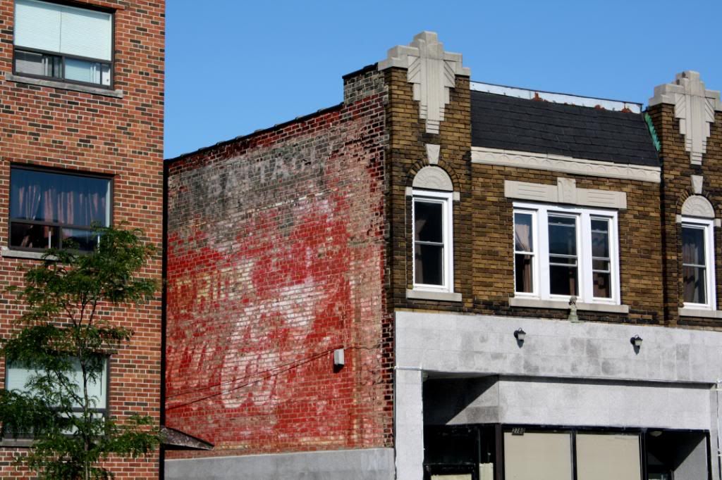
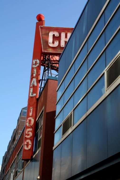
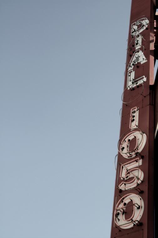
Old CocaCola Signage. Wonder how old it actually is.
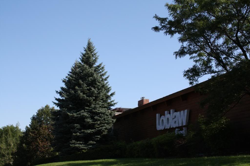
Loblaws on the top of the hill south of York Mills.
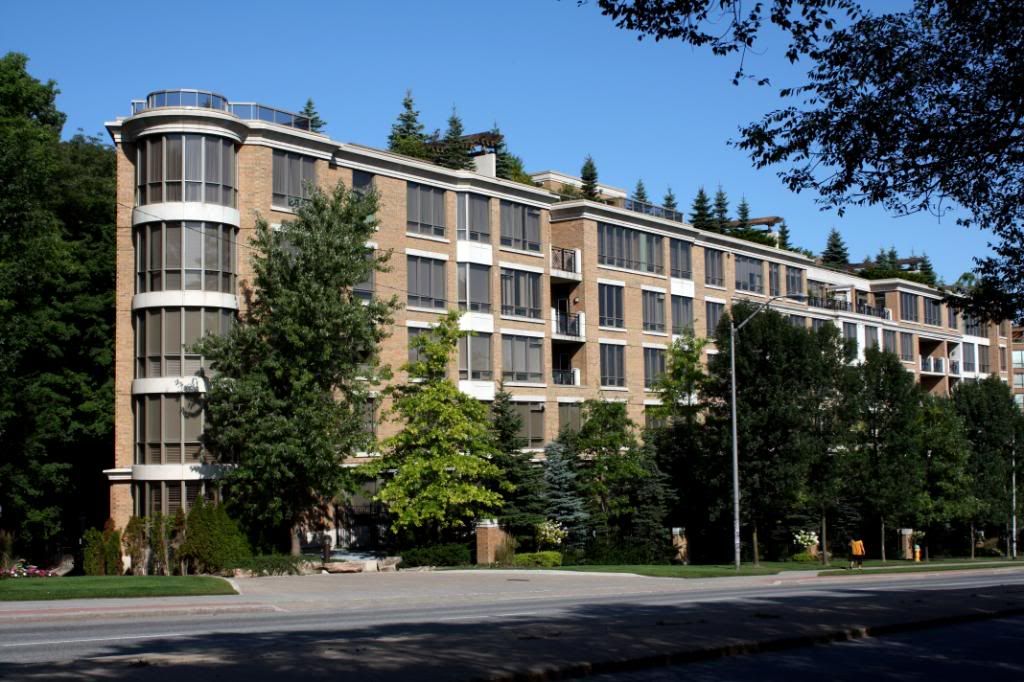
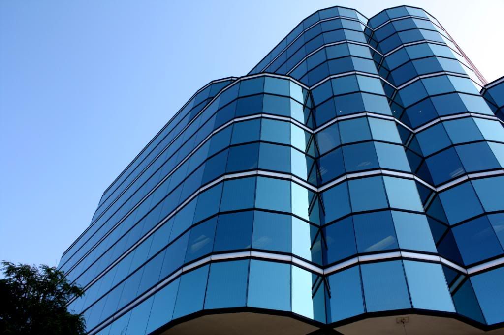
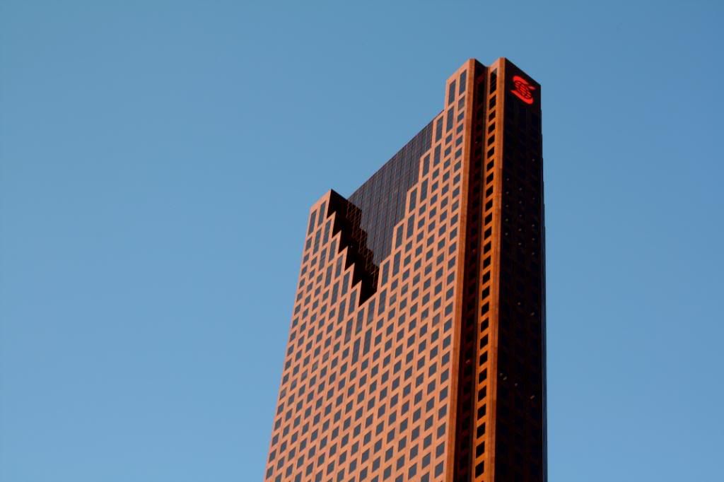
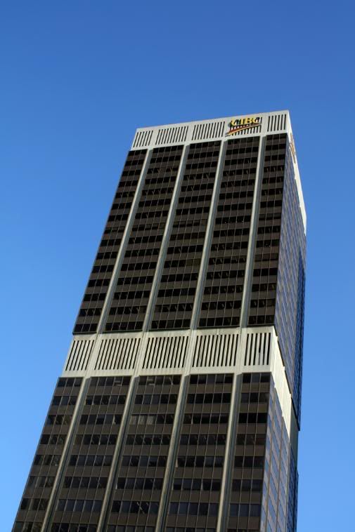
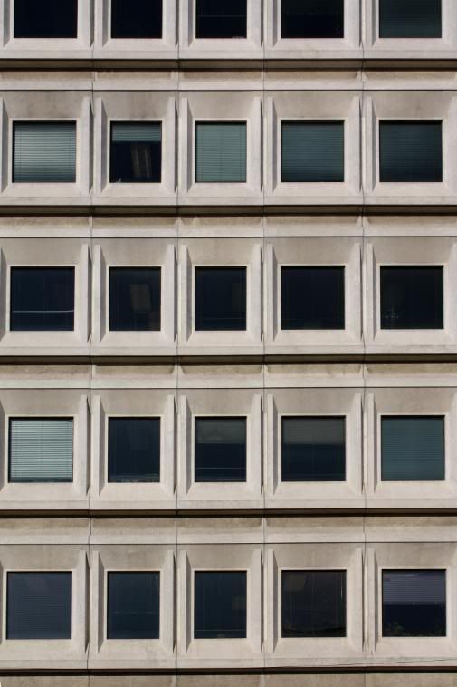
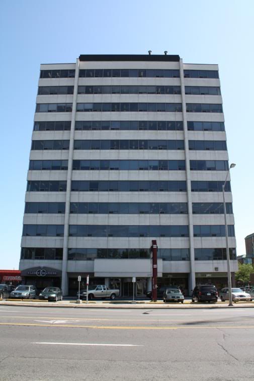
Office building at Yonge/York Mills.
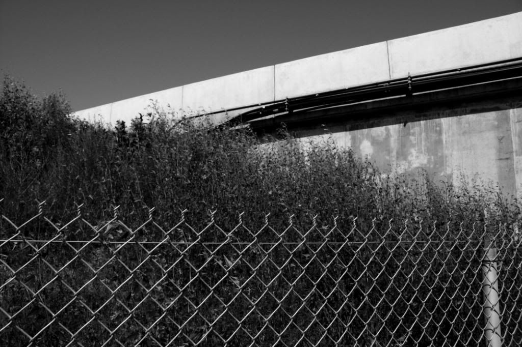
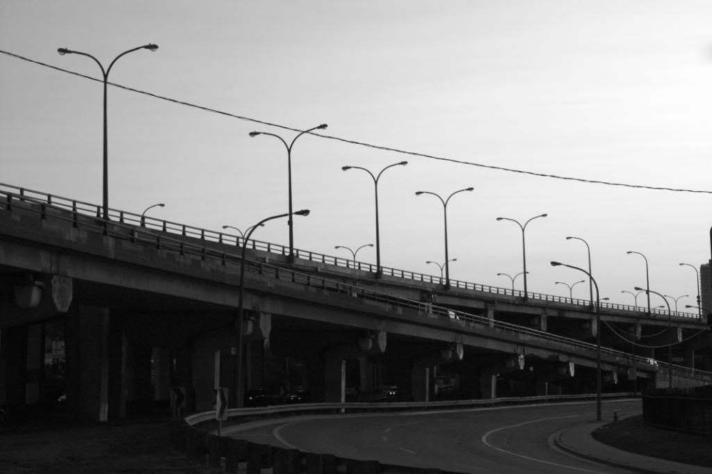
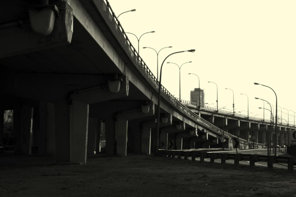
The 401.
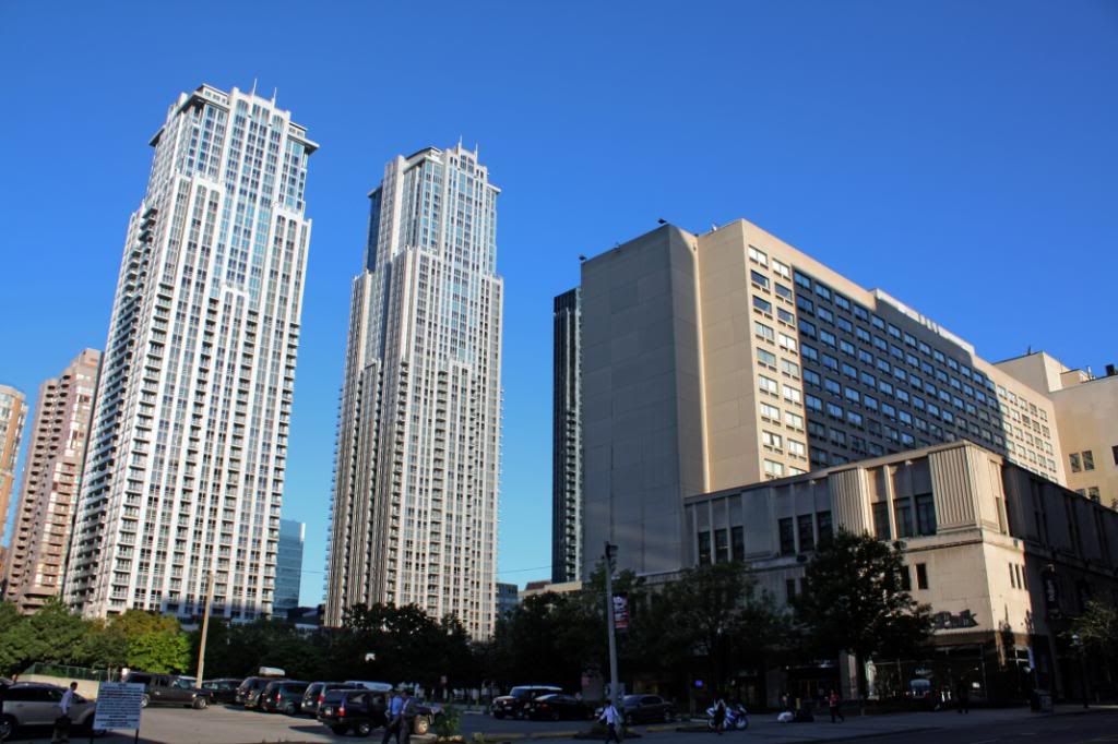
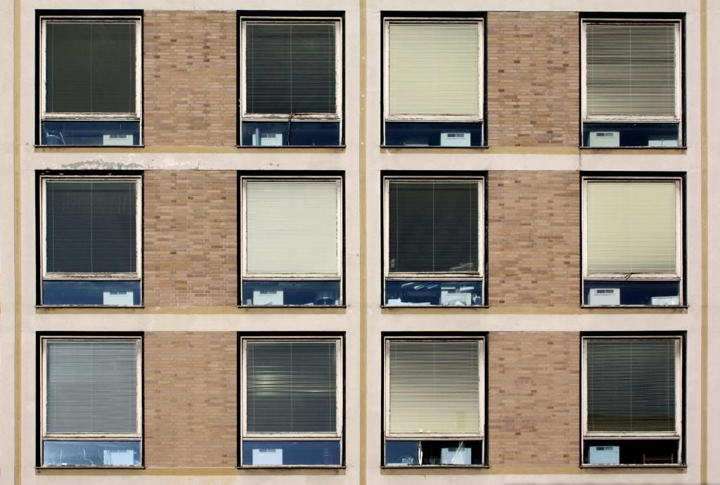
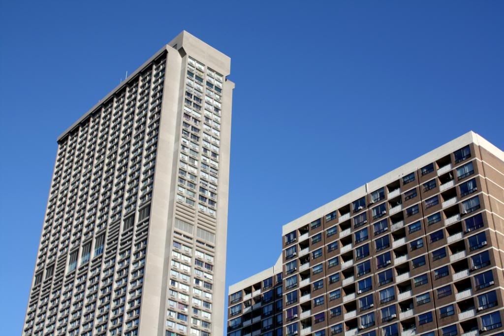
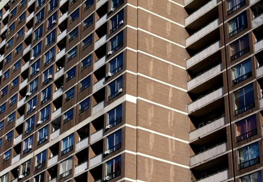
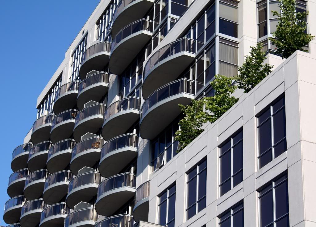
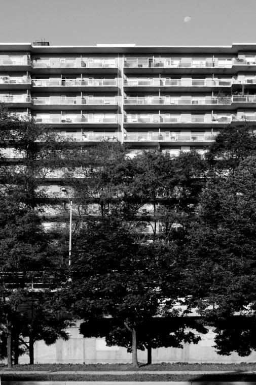
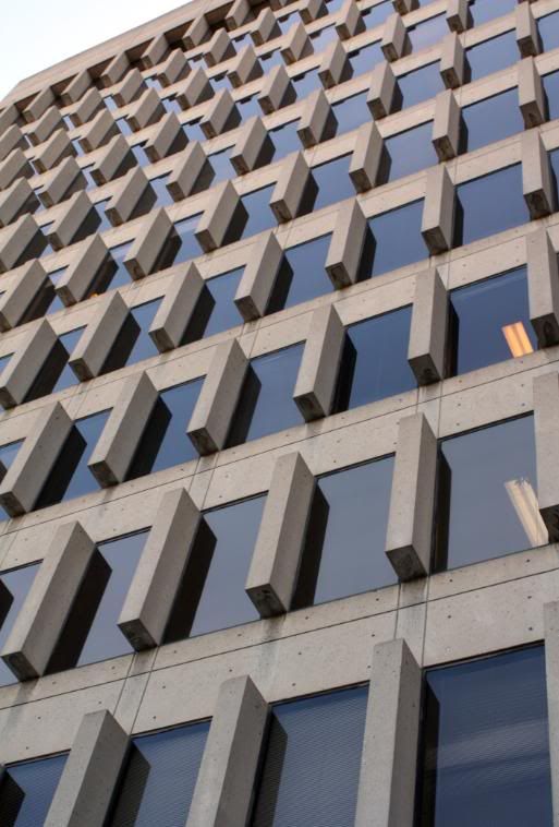
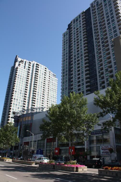
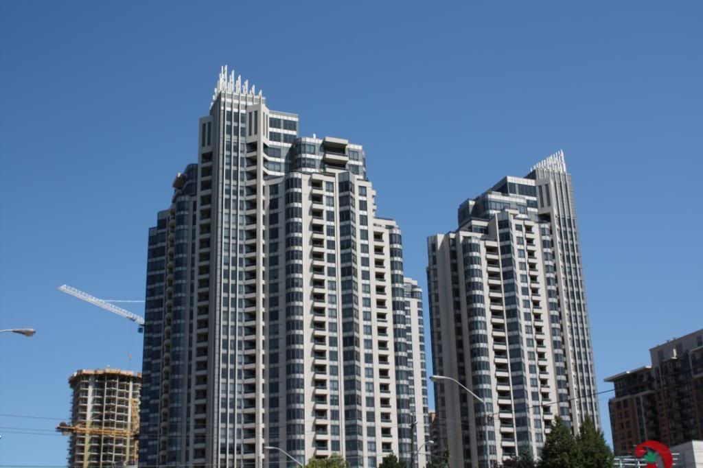
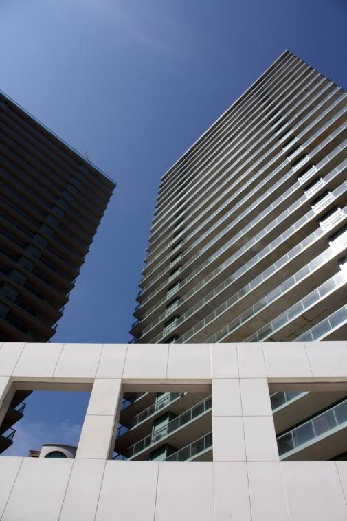
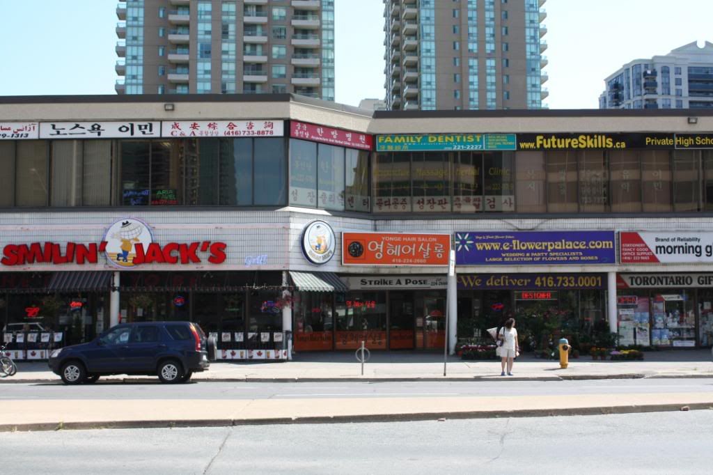
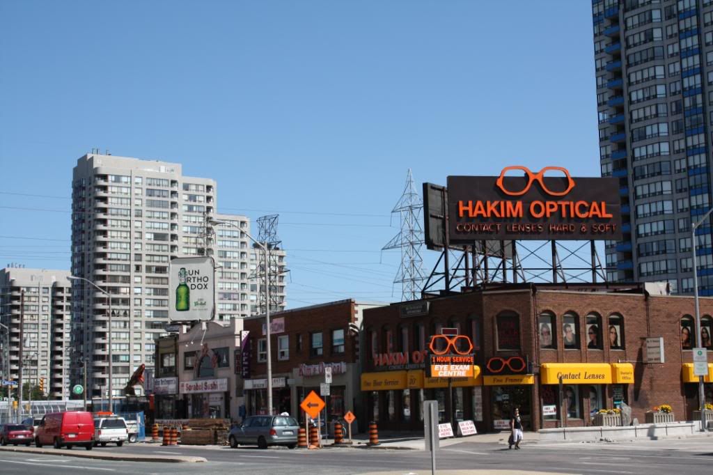
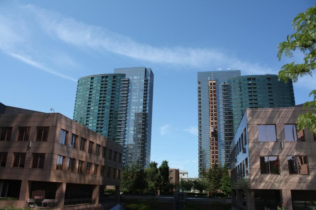
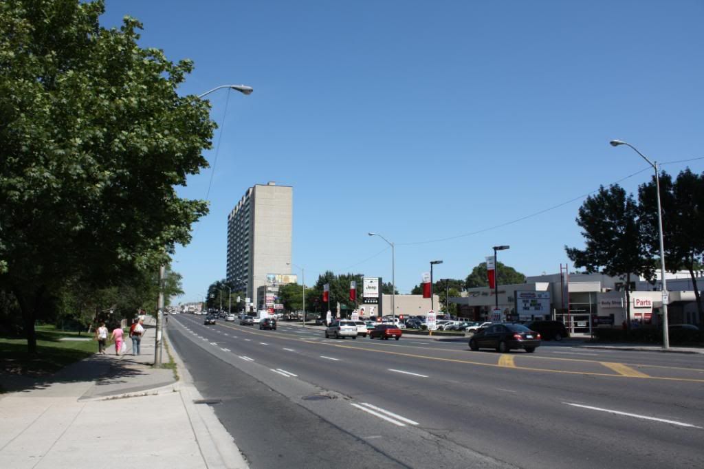
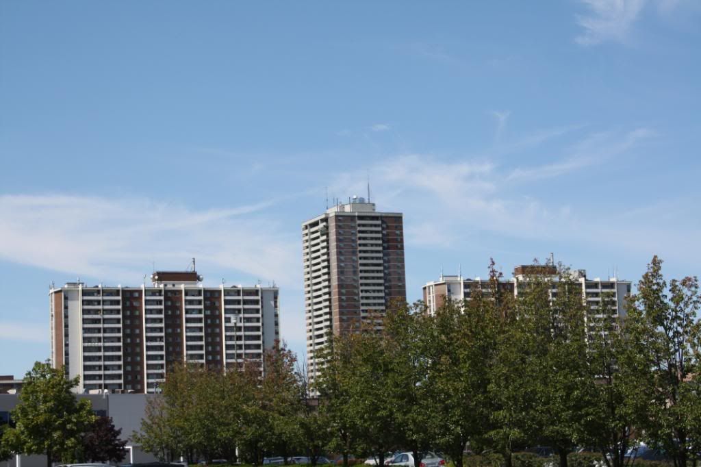
We enter the concrete and condo jungle of North York.
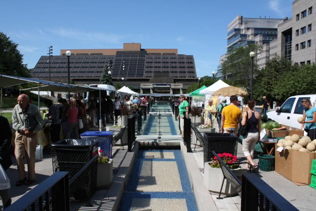
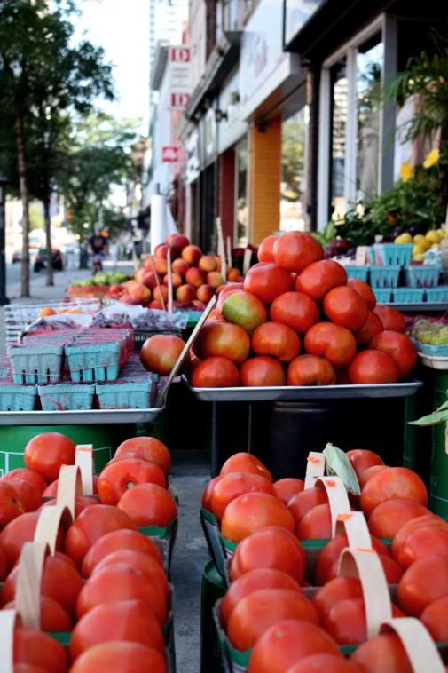
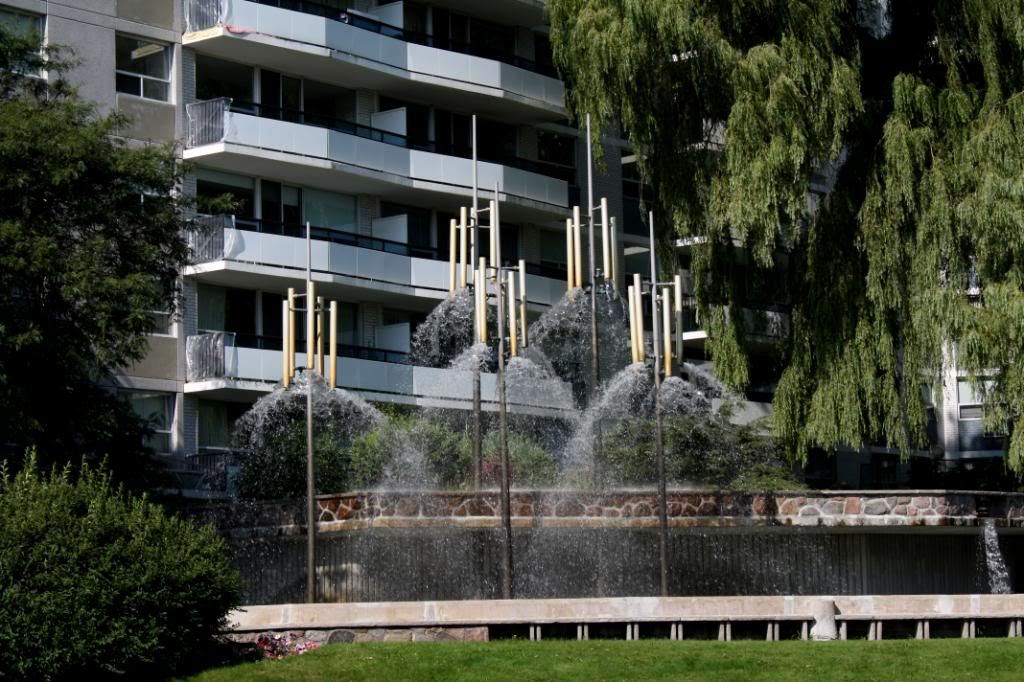
Farmers market at Mel Lastman Square.

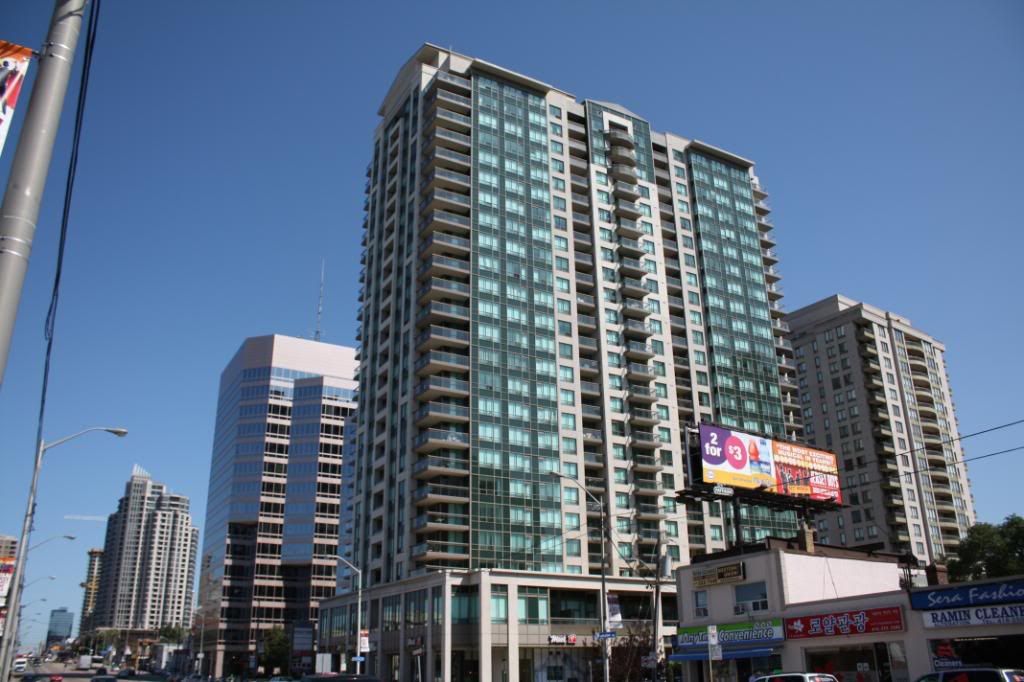
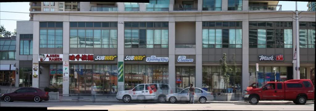
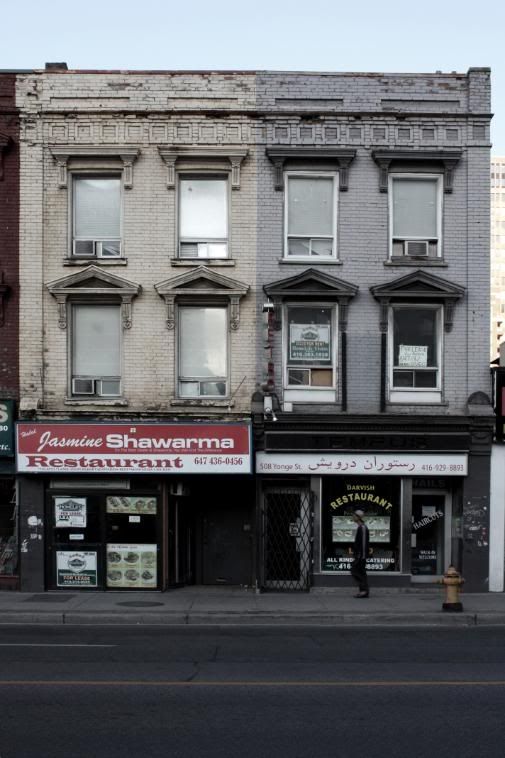
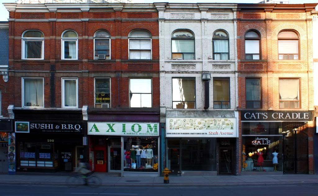
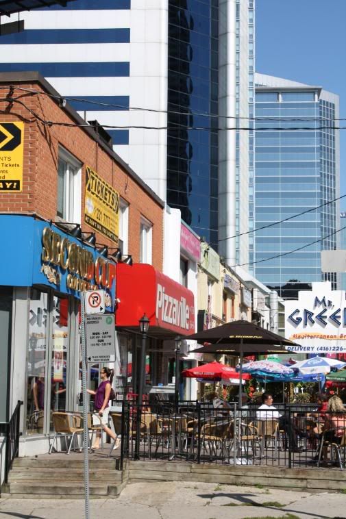
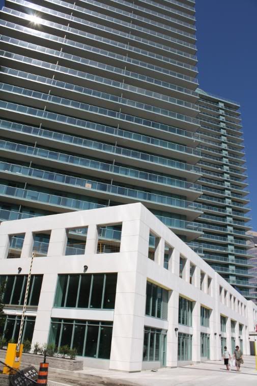
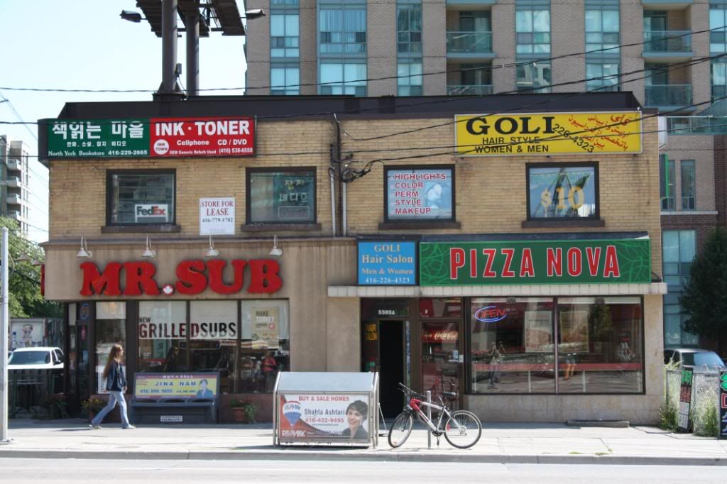
The typical retail at the base of a condo.
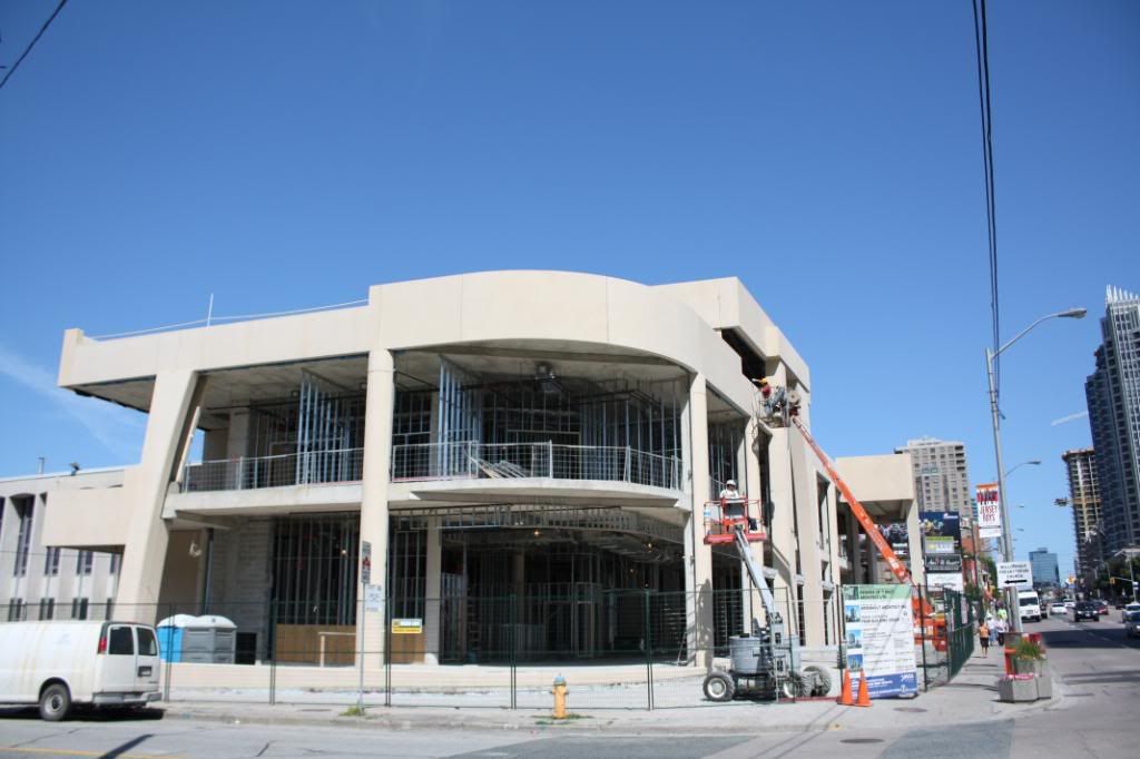
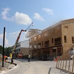
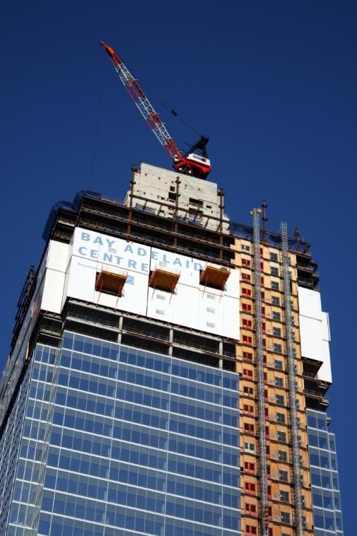
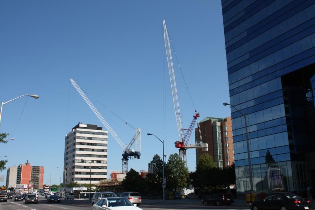
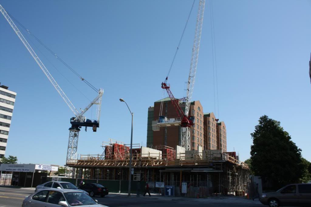
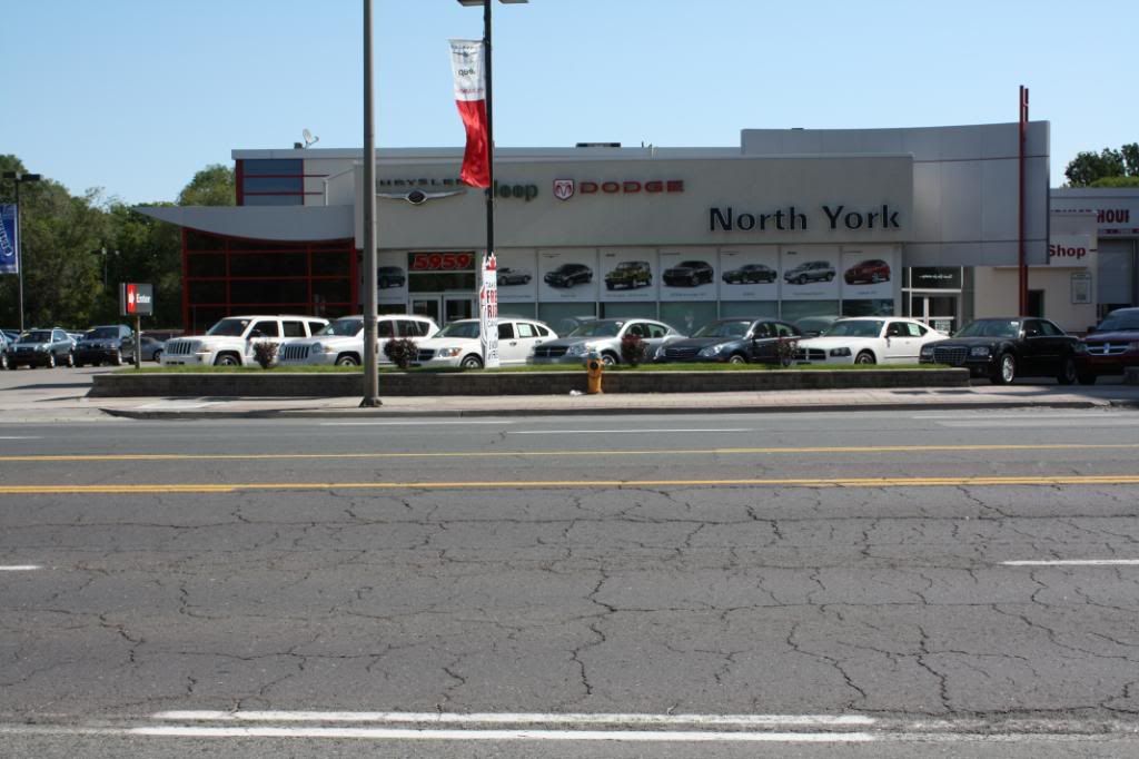
DUCA building under construction.
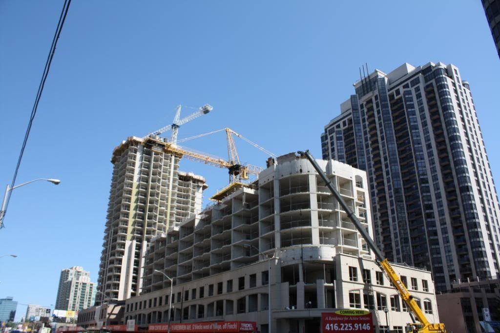
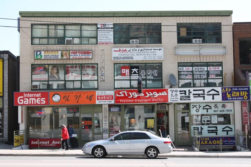
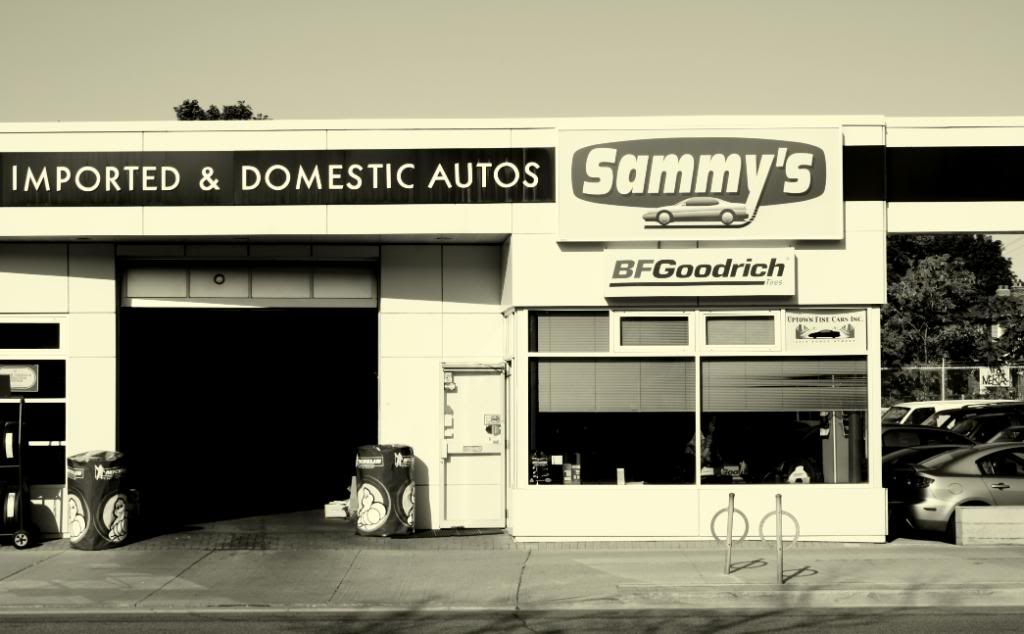
Not too long until these buildings will be demolished for condos.
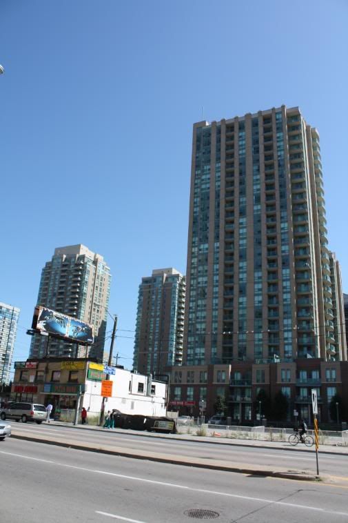
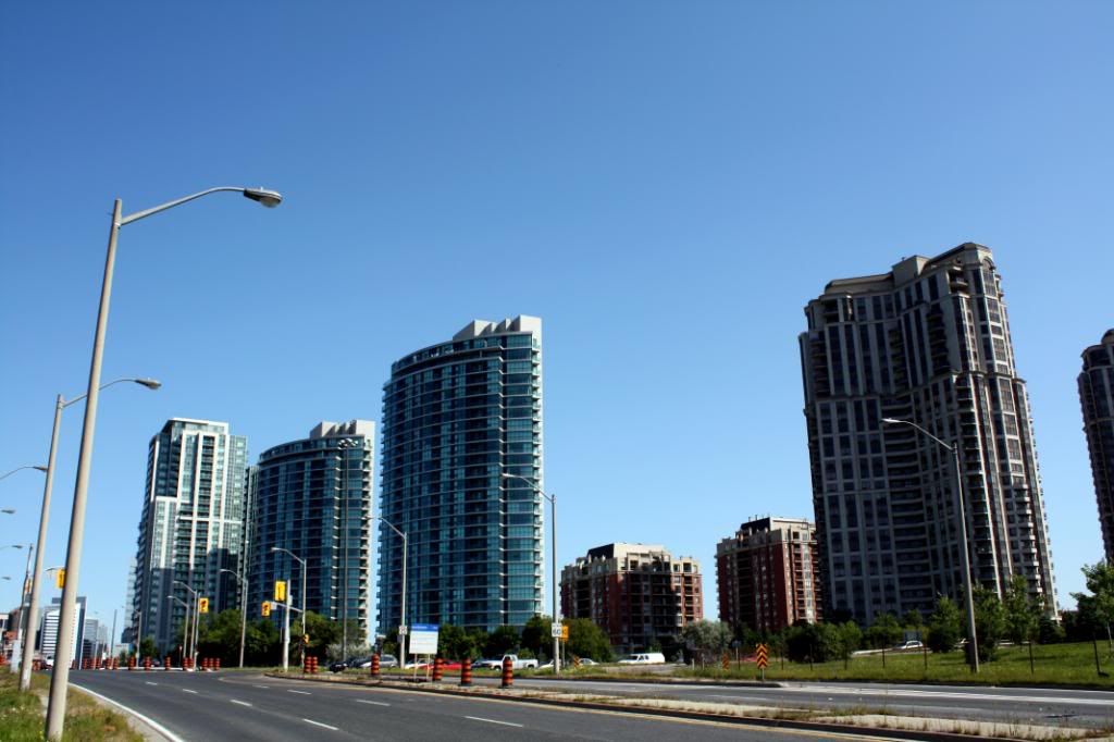
Southeast corner of Yonge/Finch.
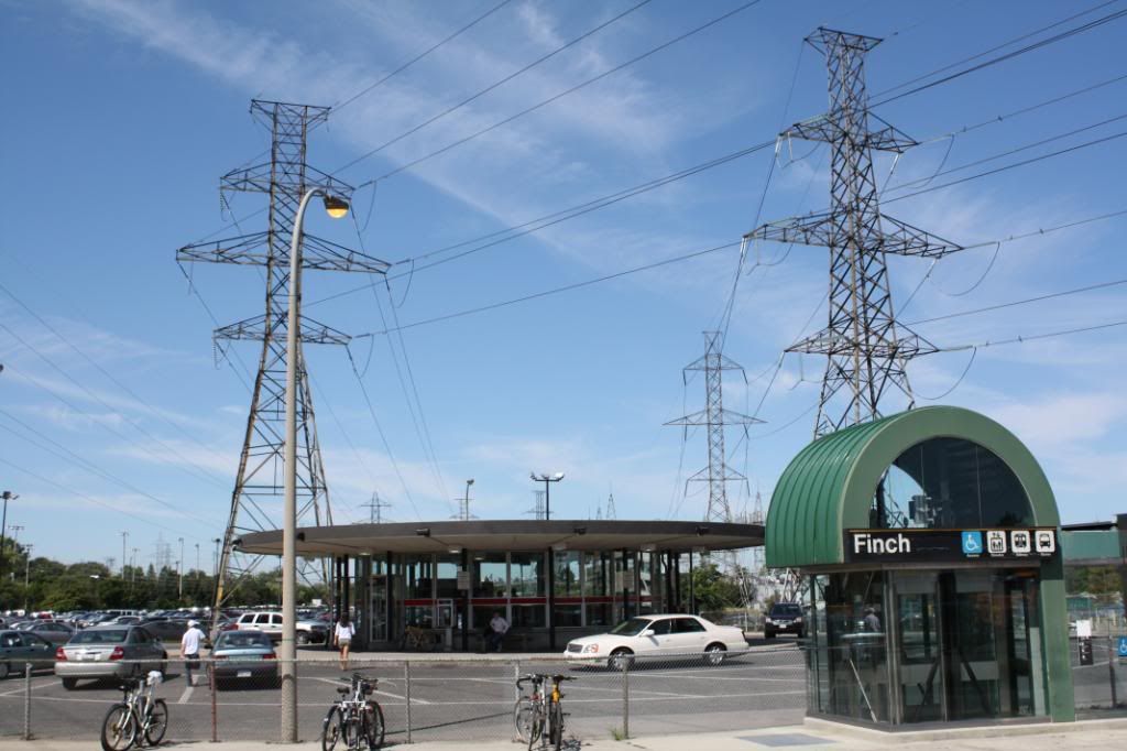
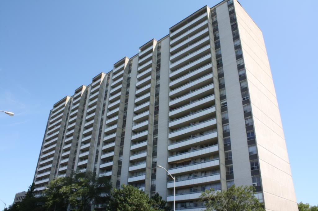
Finch station park and ride.
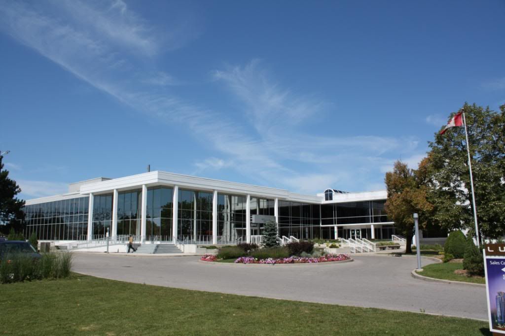
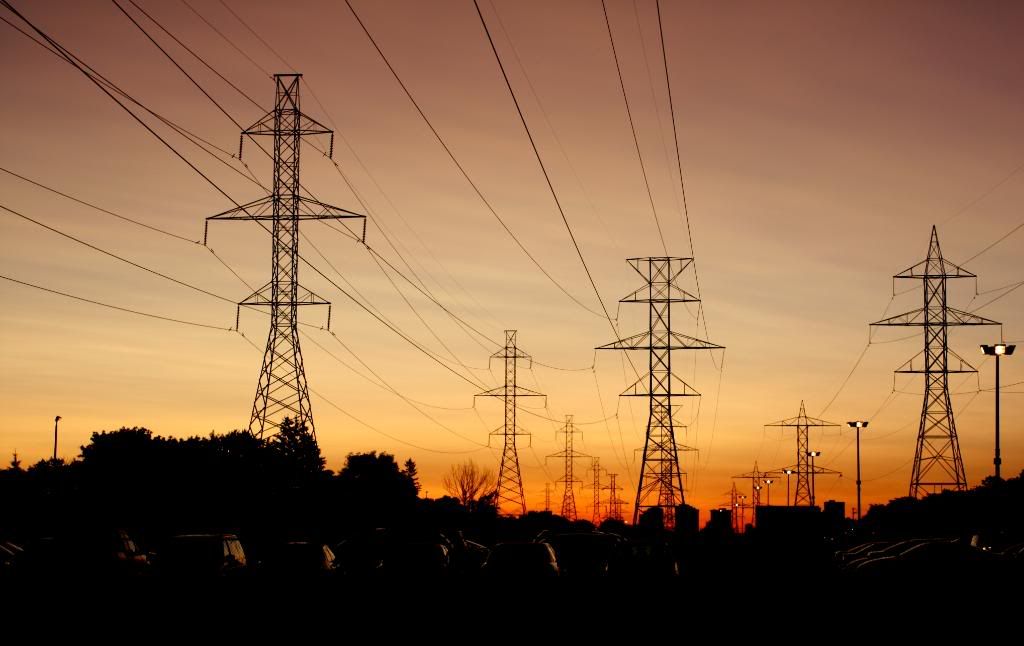
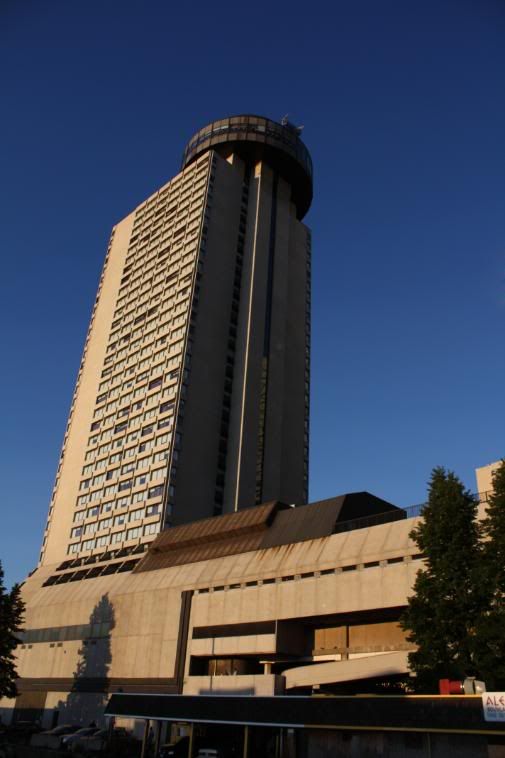
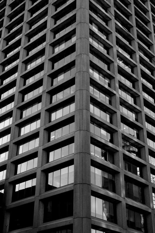
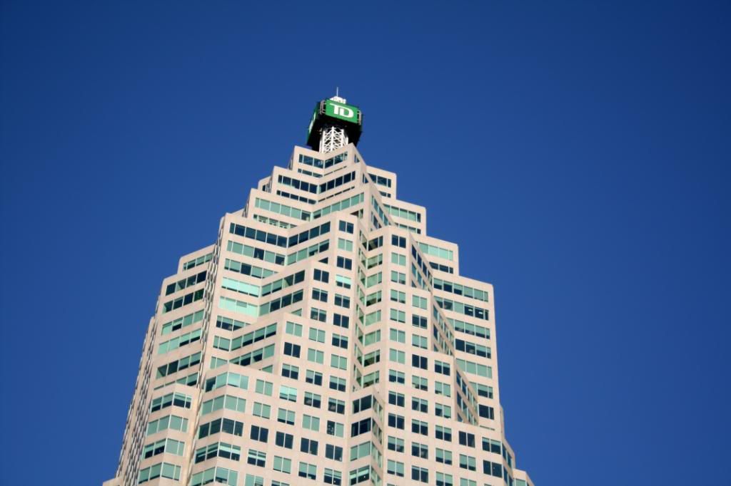
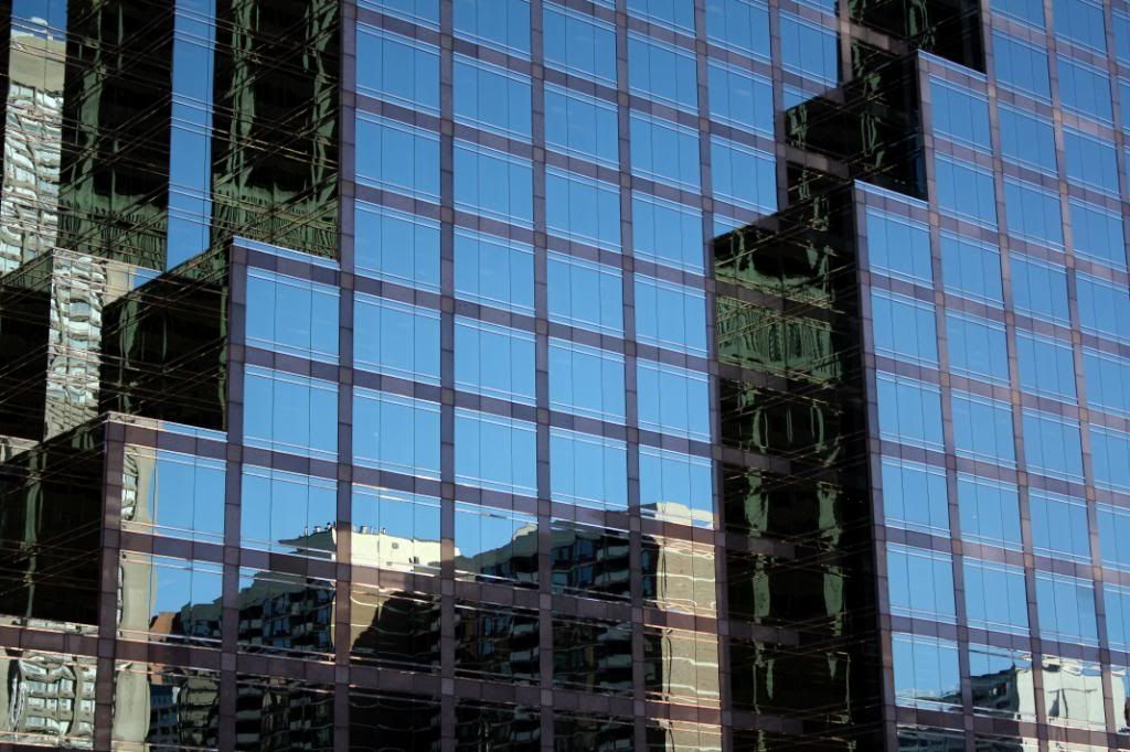
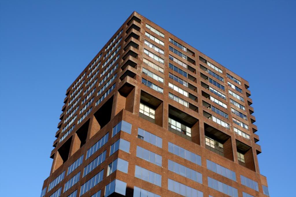
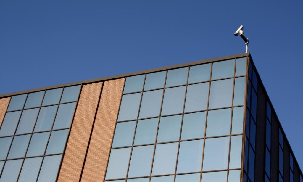
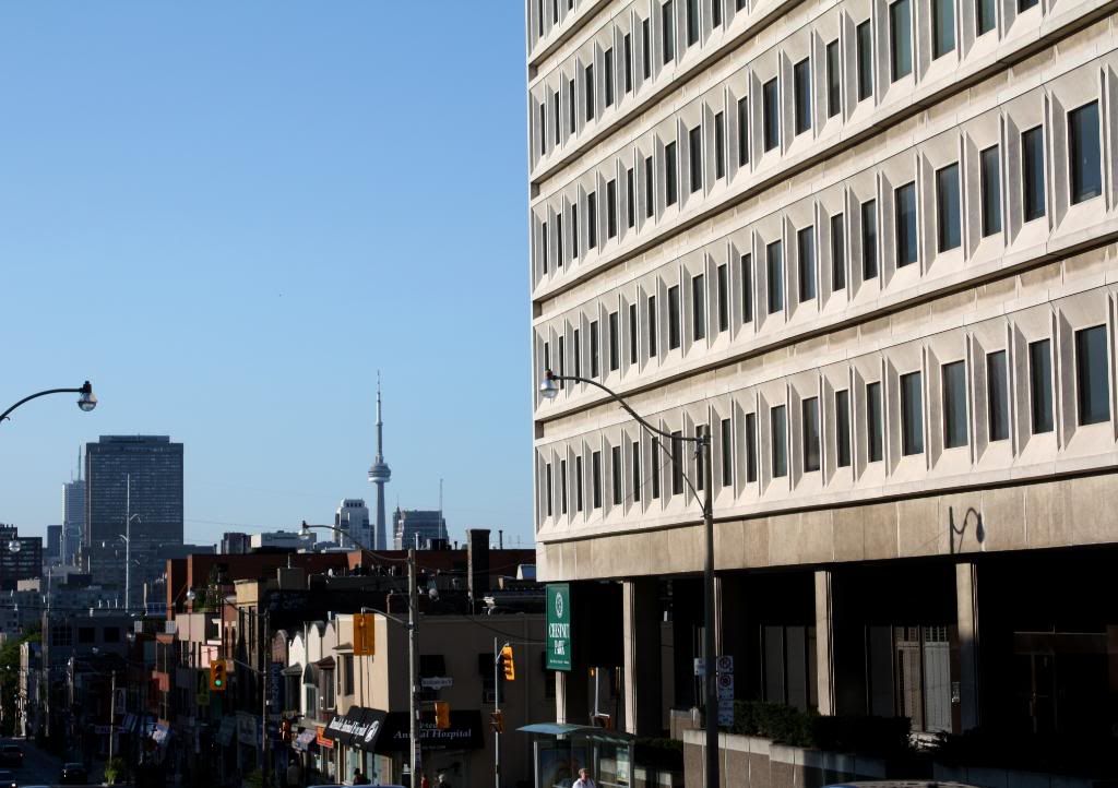
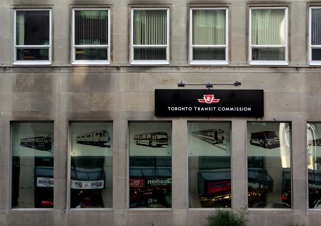
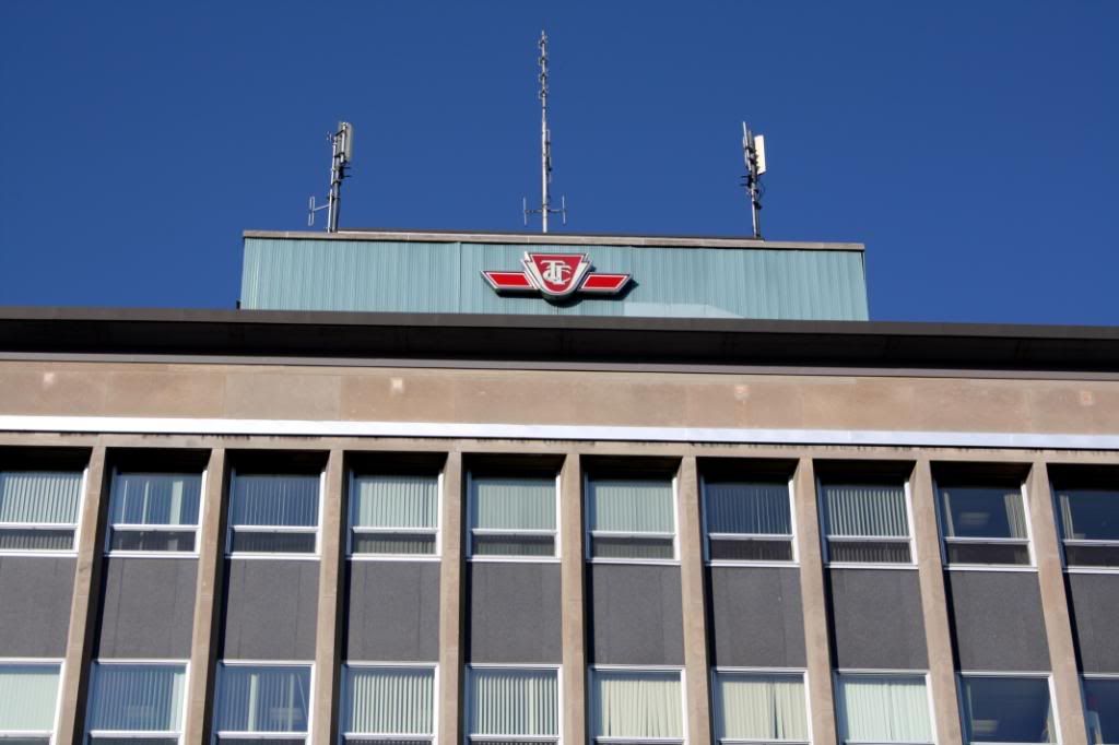
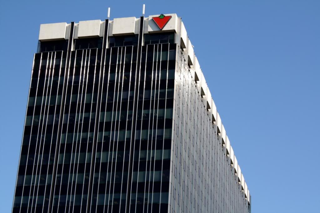
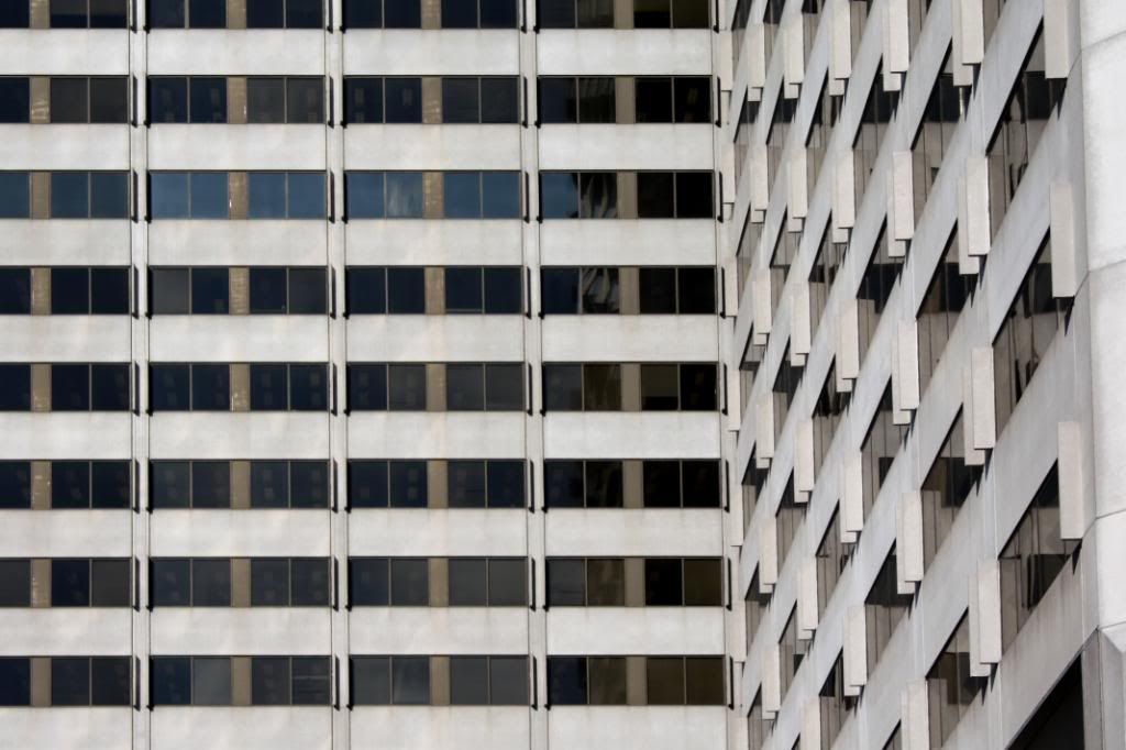
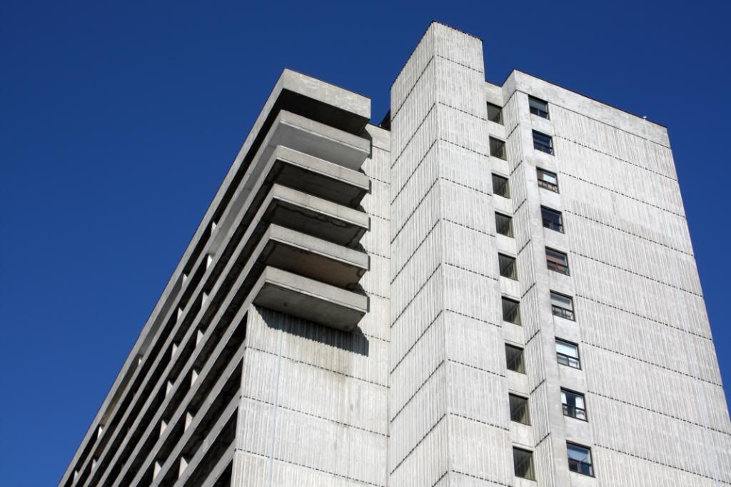
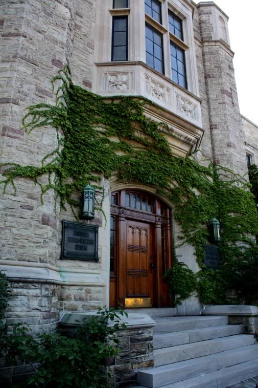
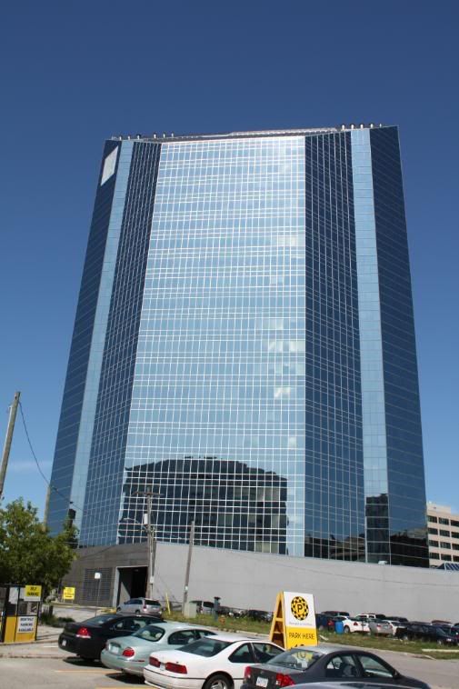
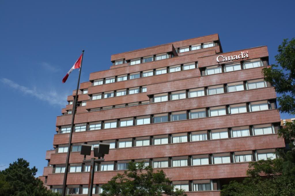
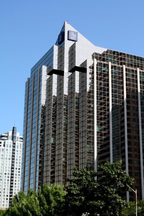
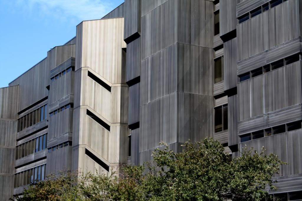
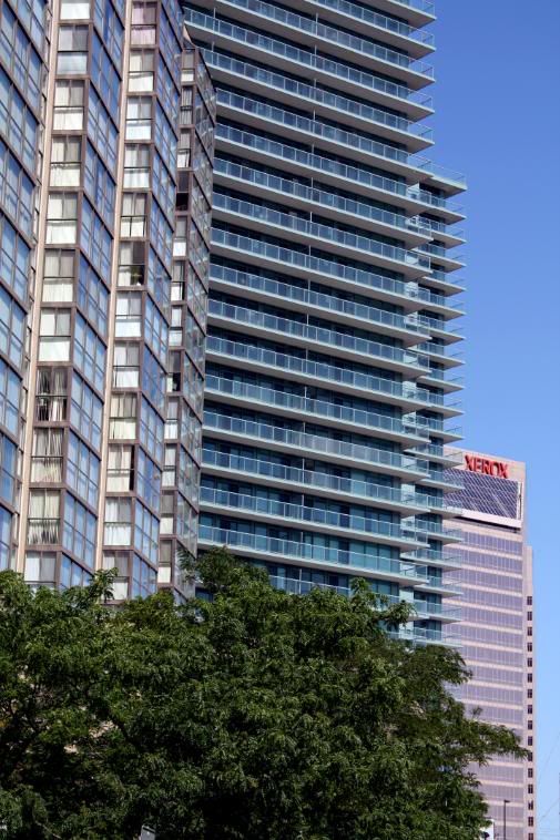
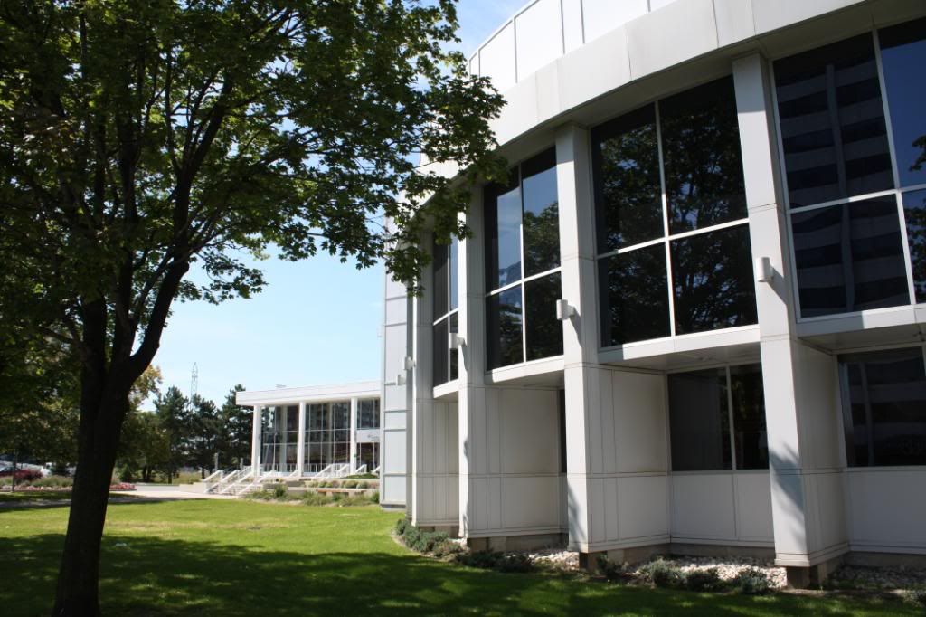
Toronto Hydro building.
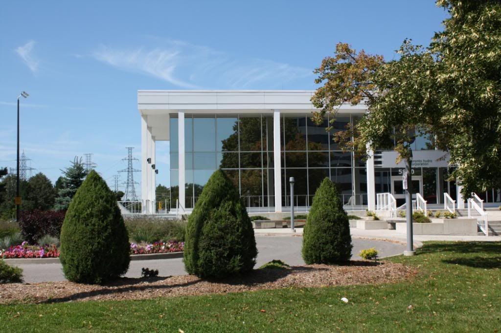
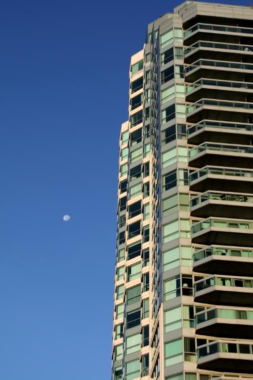
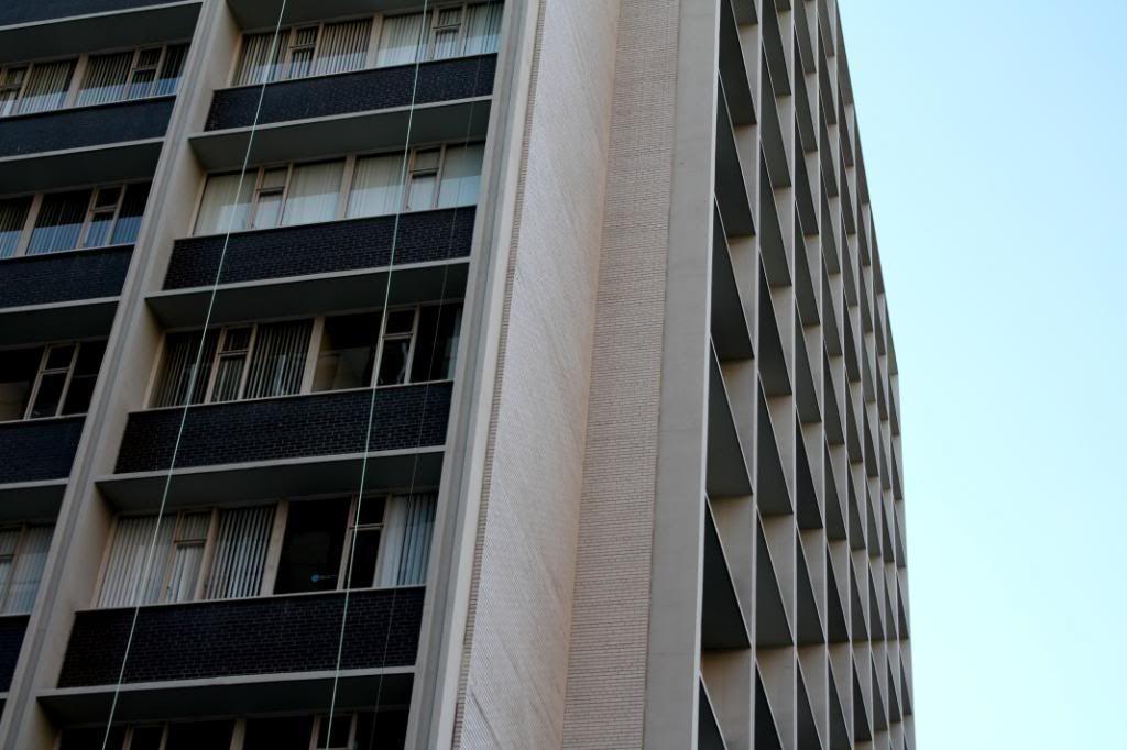
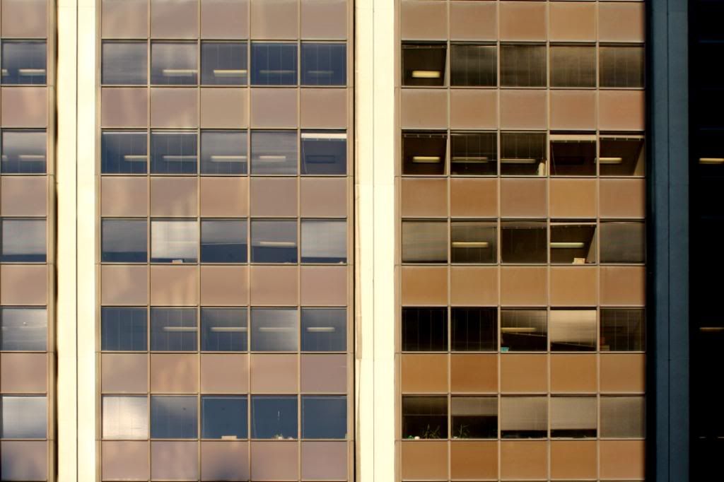
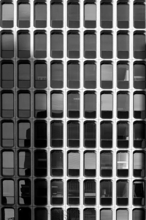
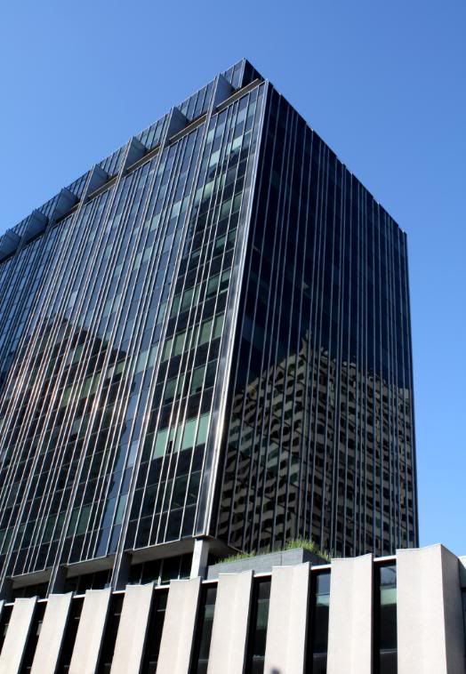
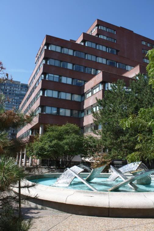
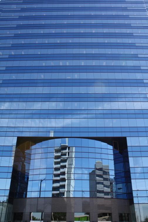
Office building right across from it.
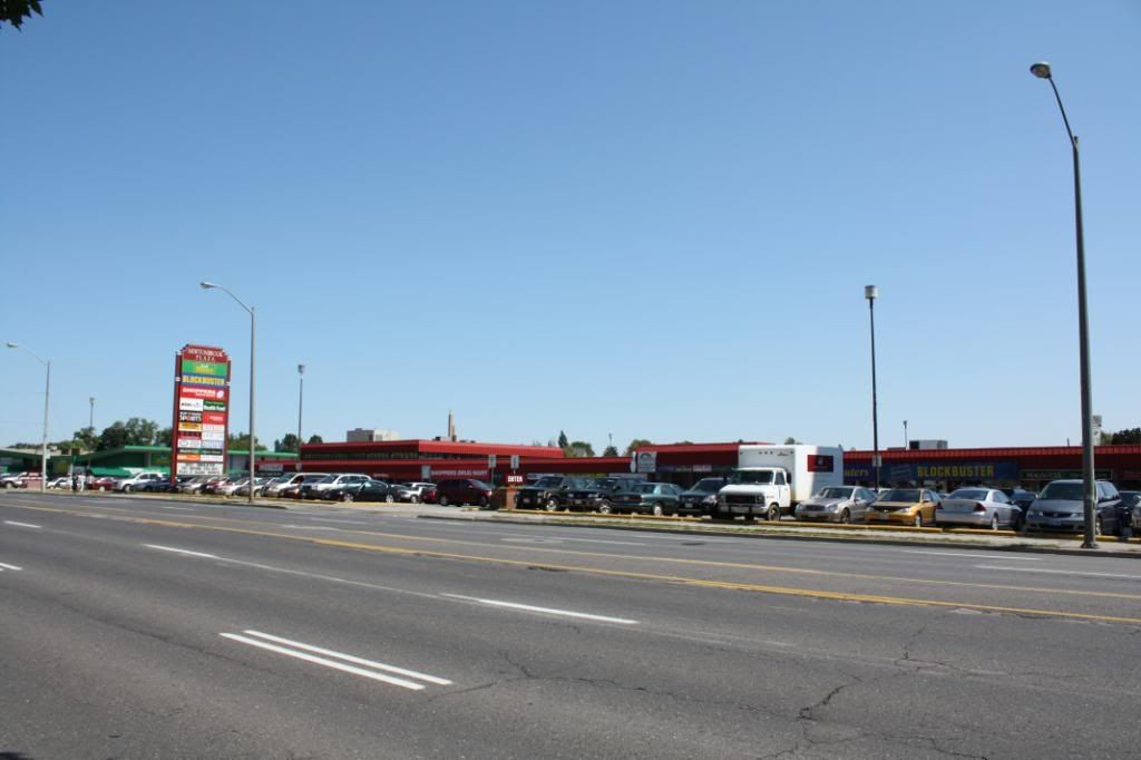
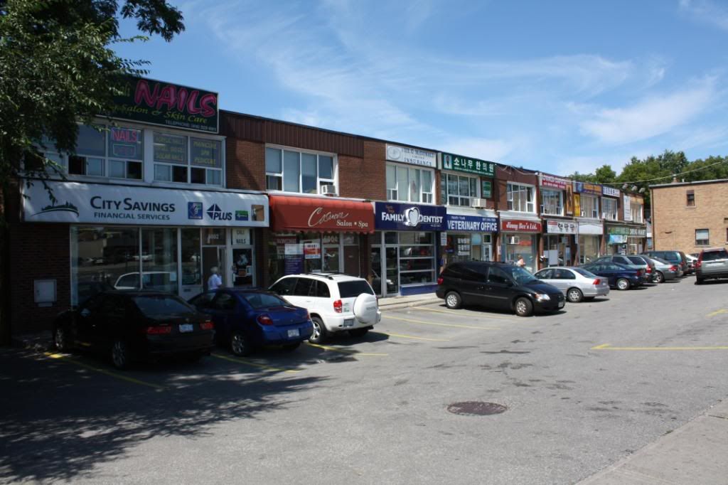

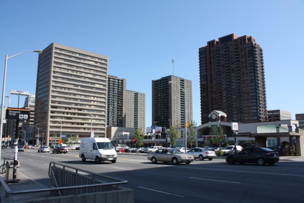
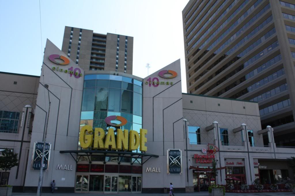
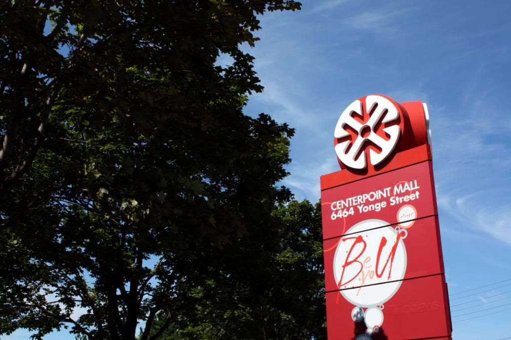
Centrepoint Mall.
Yonge Street in York Region
My first street that I thought would be the most appropriate for this is Yonge Street. Can't go wrong with the longest street in the world that runs through many neighbourhoods and changes accordingly with each neighbourhood.
So I started at the foot of Lake Ontario, bright and early (6:30is), and went north to 16th Avenue for the time being. I'm going to be continuing the walk through Richmond Hill and on a bit later. There's going to be a separate thread for Yonge St. in York Region.
Enjoy!
*Most of the shots will be documenting the west side of Yonge since for most of the ~7.5 hour walk was on the east side until I got to North York and walked on the west side.
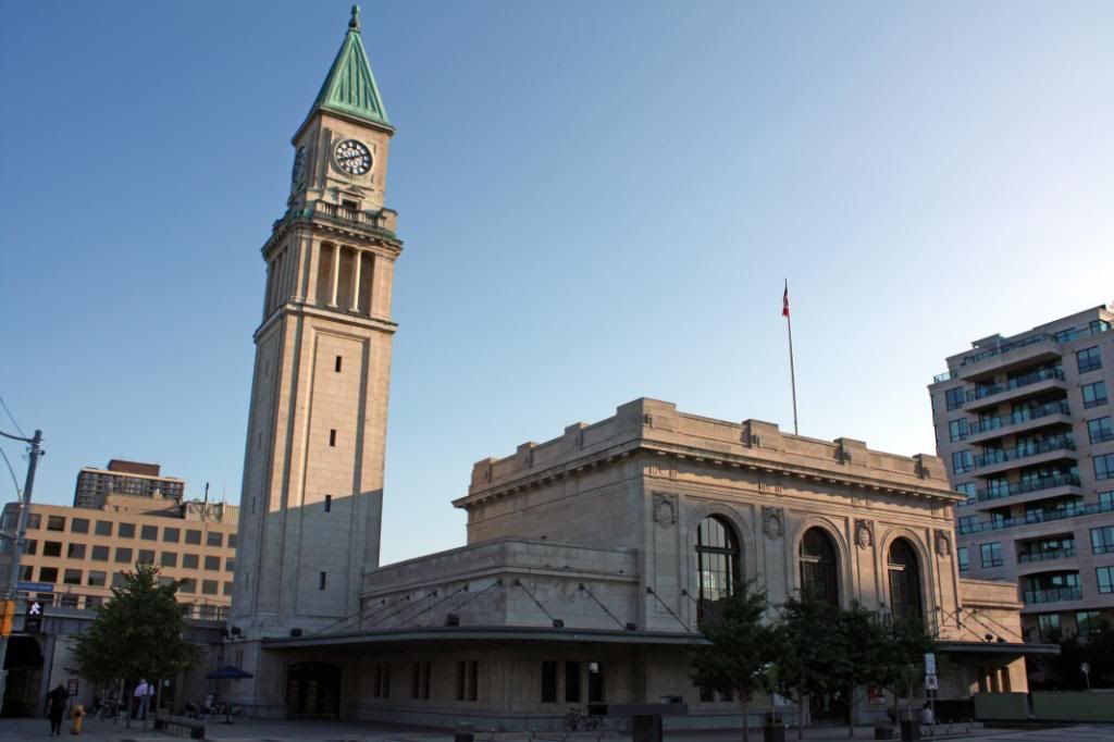
Early morning at Finch Station.
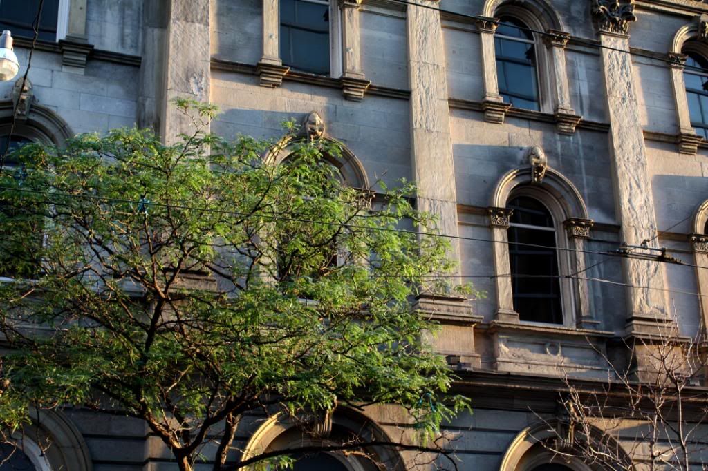
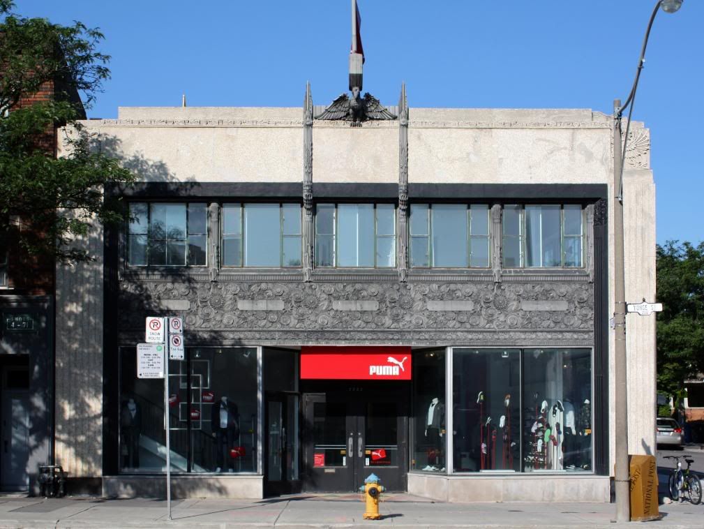
Richtree facade.
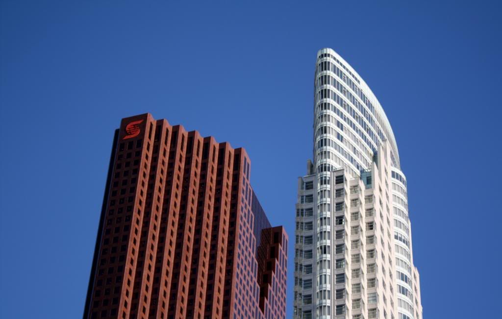
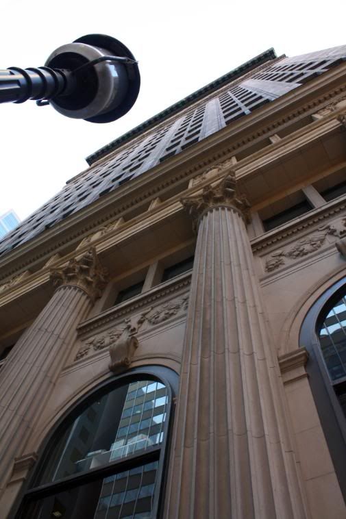
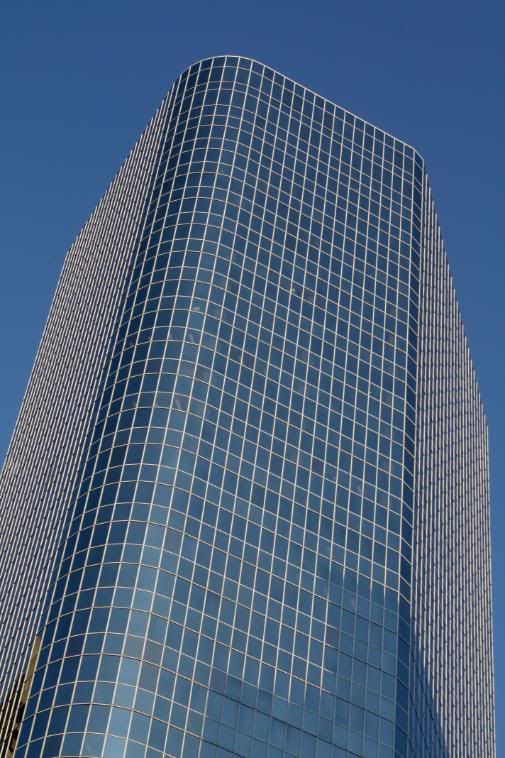
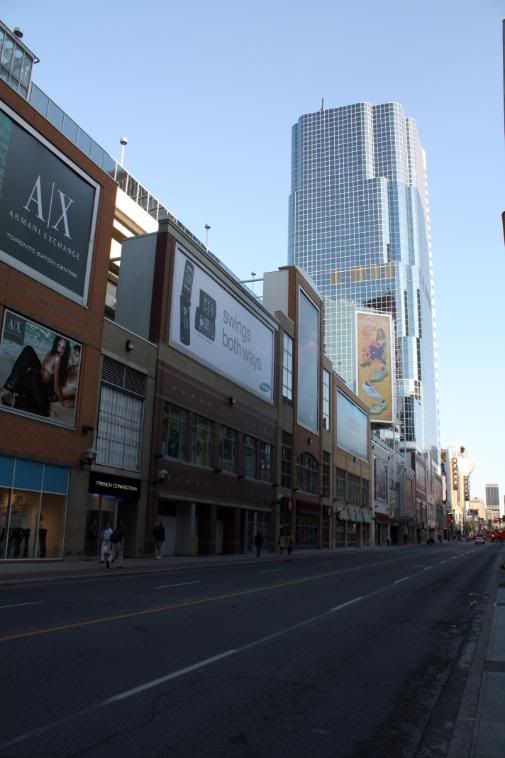
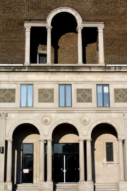
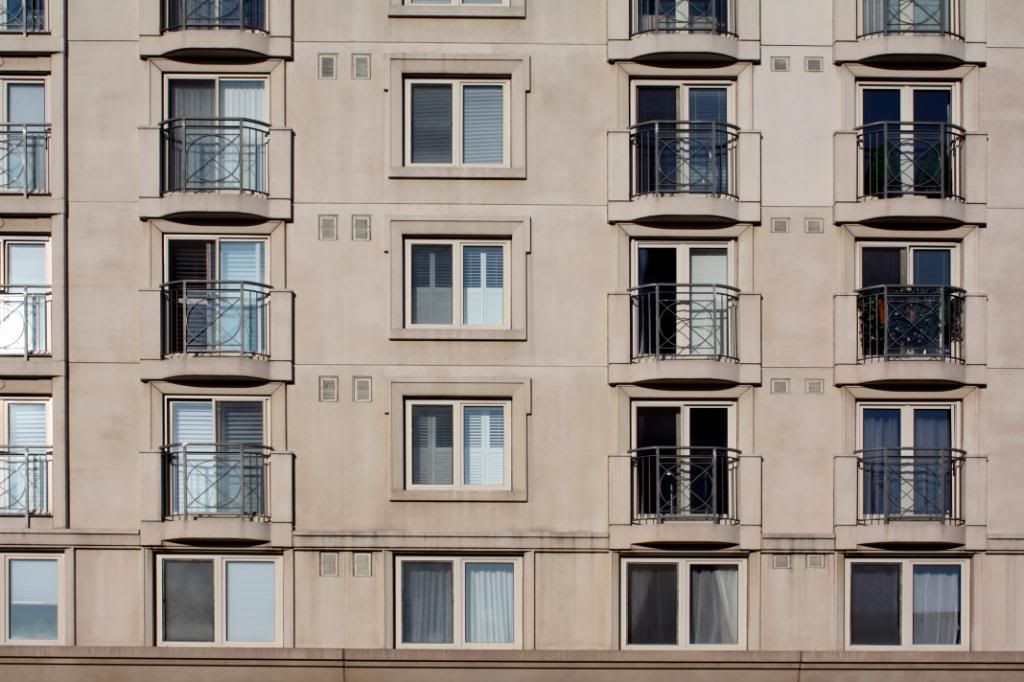
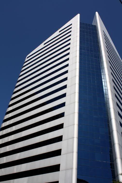
1 King West.
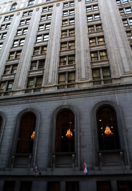
Scaffolding on The Bay.
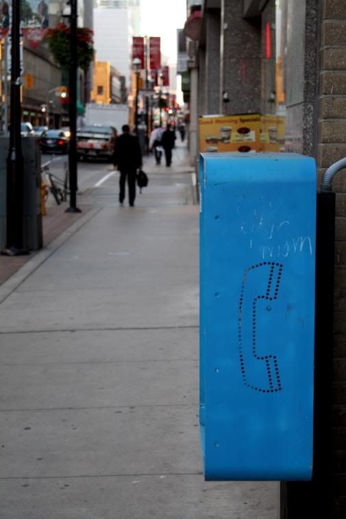
Yonge/Gould.
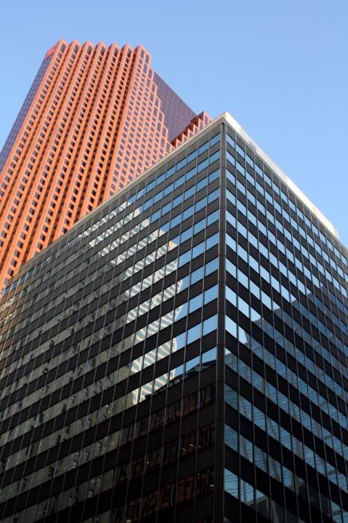
Yonge/Gerrard.
Building at northeast corner of Yonge/Carlton. You can see the remnants of an old clock that was there.
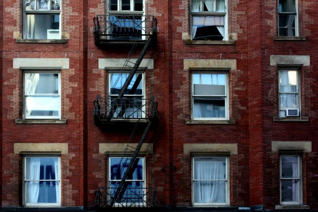
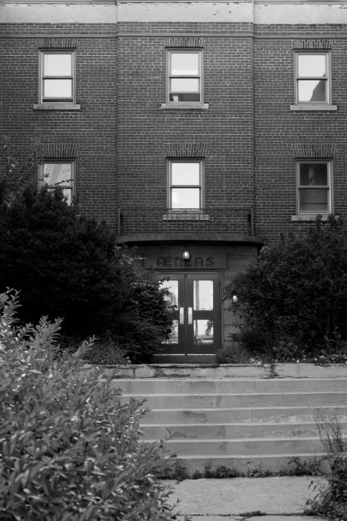
Building beside the 1 Bloor East site.
Mt. Pleasant Cemetery.
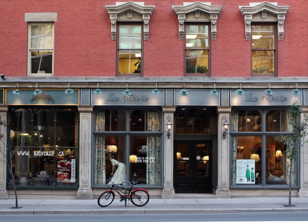
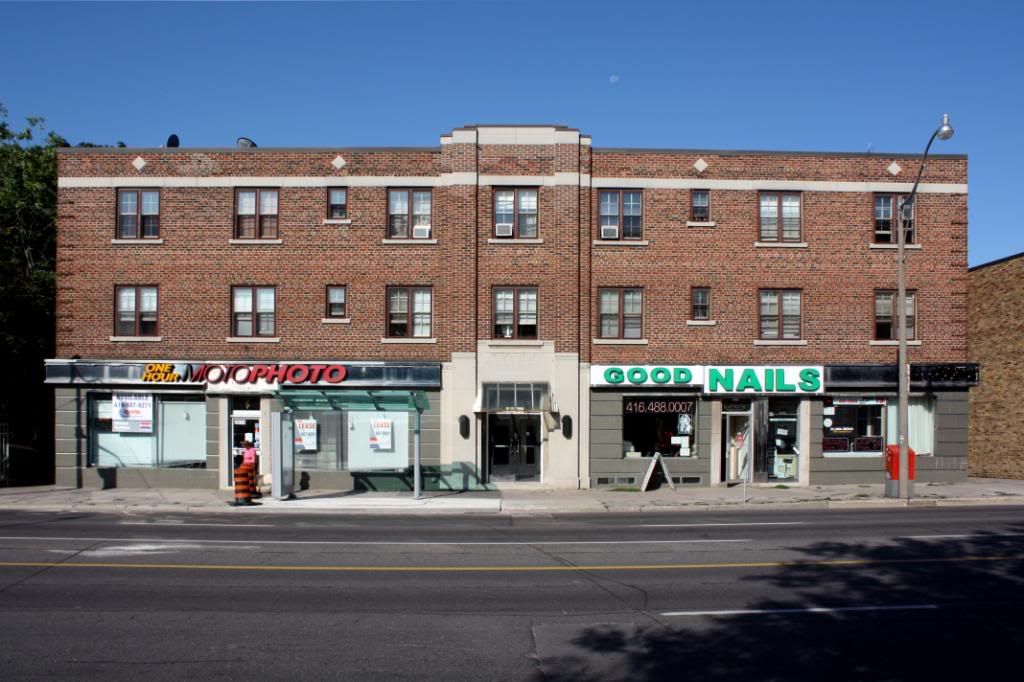
Yonge/Davisville.
Yonge/Eglinton.
Old CocaCola Signage. Wonder how old it actually is.
Loblaws on the top of the hill south of York Mills.
Office building at Yonge/York Mills.
The 401.
We enter the concrete and condo jungle of North York.
Farmers market at Mel Lastman Square.
The typical retail at the base of a condo.
DUCA building under construction.
Not too long until these buildings will be demolished for condos.
Southeast corner of Yonge/Finch.
Finch station park and ride.
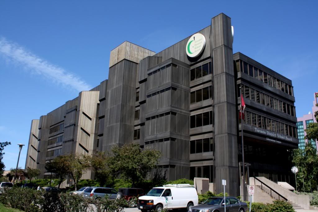
Toronto Hydro building.
Office building right across from it.
Centrepoint Mall.
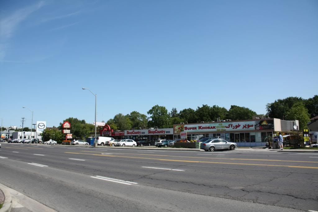
Yonge Street in York Region