


r937
Active Member
Now. August 2010.
since this picture was recently revived, i hope you won't mind a related photo
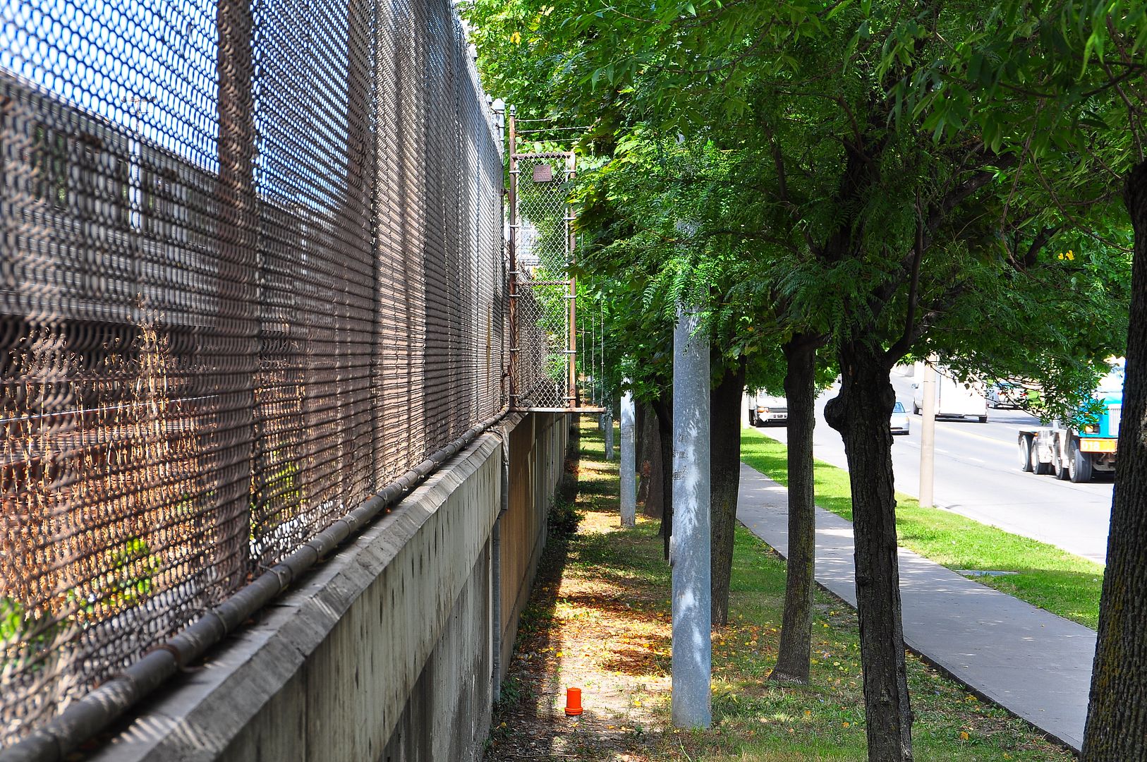
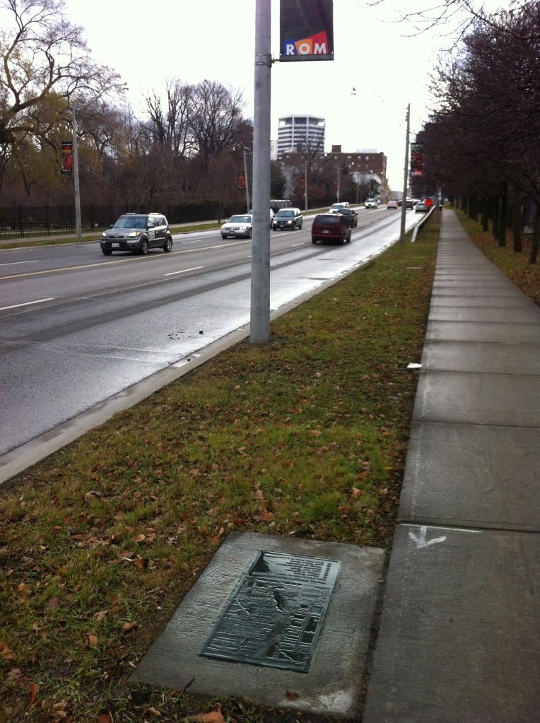
for anyone taking a stroll along this section of yonge street, on the west side, across from mount pleasant cemetery, look for this historic plaque just beside the sidewalk, at approximately the lowest point in the road, where yellow creek (now buried) used to cross yonge

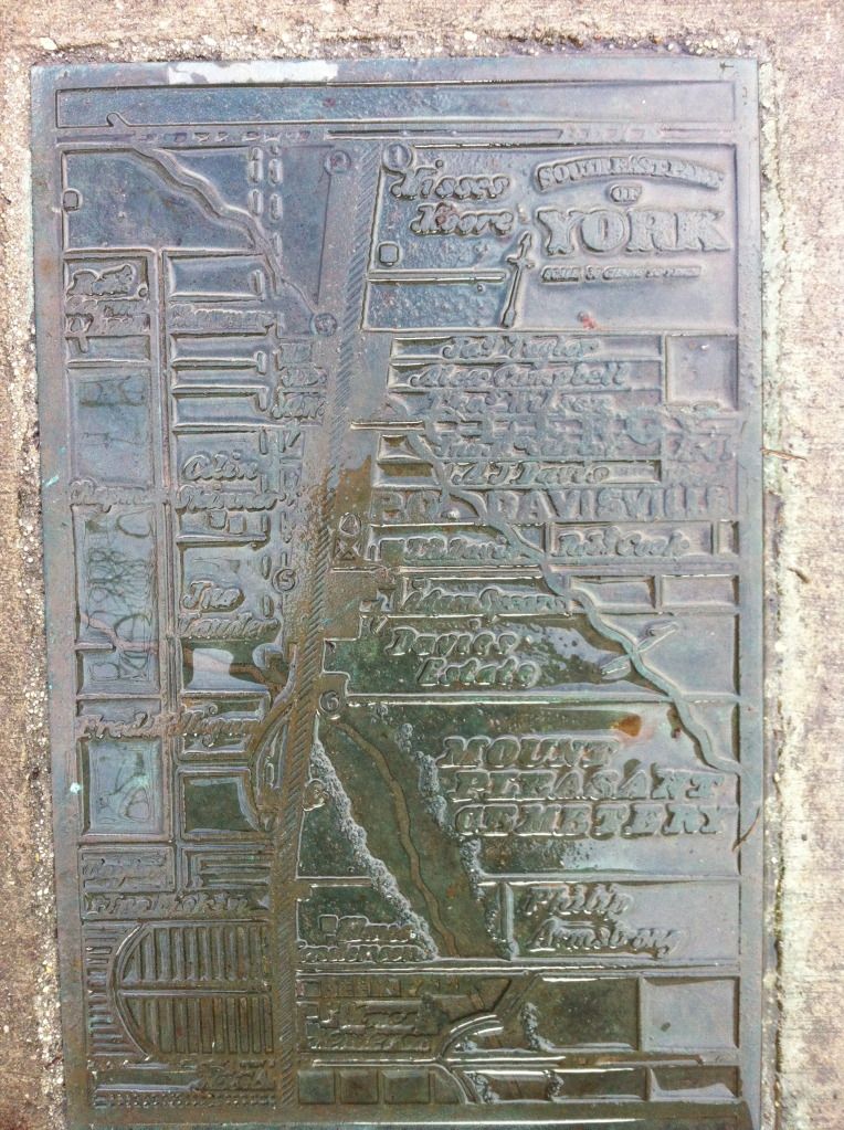
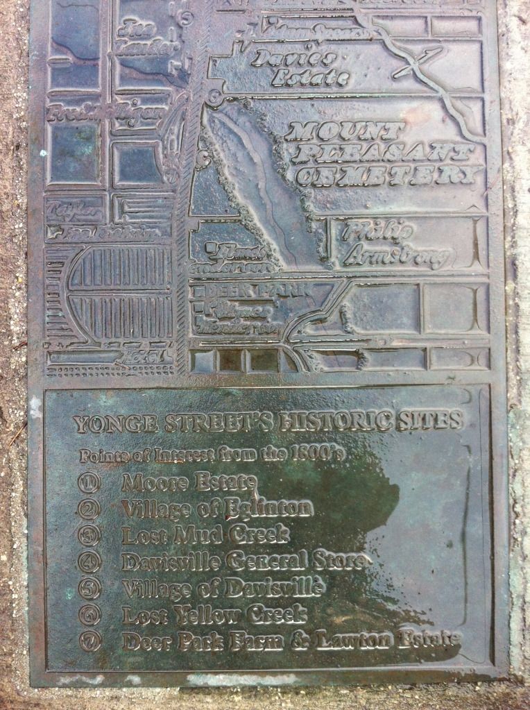
photo did not really turn out too well but i thought i'd post it as i am sure many of you historians will recognize which old map was adapted for this plaque
")