News   Apr 17, 2024
 1.5K     0 
News   Apr 17, 2024
 380     0 
News   Apr 17, 2024
 2.1K     1 

Miscellany Toronto Photographs: Then and Now

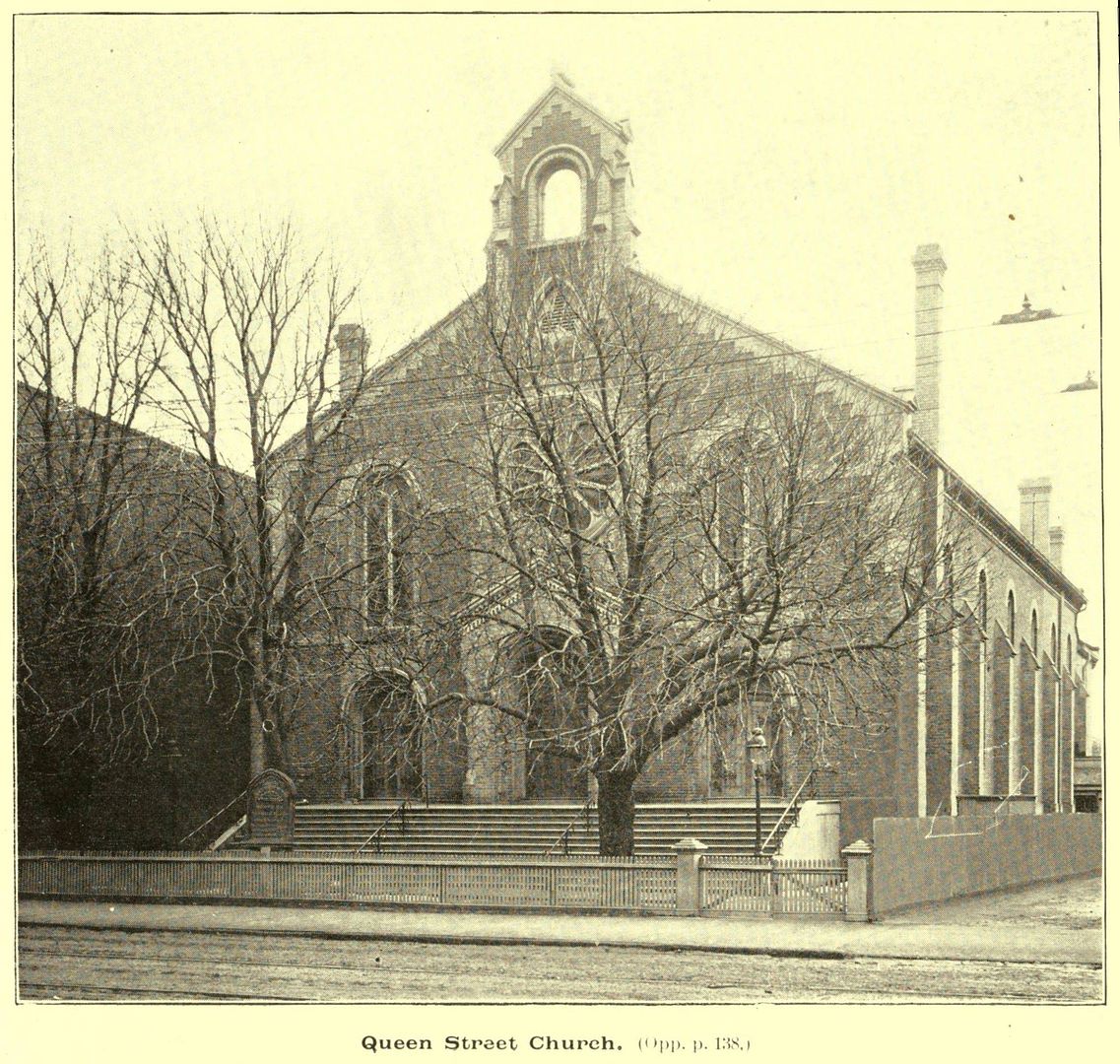
I took that photo myself and at that time it was the Glenview Terraces Hotel, not the Muir Park Hotel. The small white sign near the right side of the photo reads "Glenview Terrace Hotel" (I had the sign made and placed it there for the photo). This was just after Alexander Muir Gardens park was completed. My Father designed and built it during the war and ran the hotel for many years (originally an aparment building), before and after he converted it to an apartment hotel. Prior to the conversion it was called The Glenview Terraces Apartments. Im not 100% sure but I believe it was the first apartment building in the city with an indoor swimming pool. I was sure suprised and happy to find my 60 year old photo on the internet. I'm getting a little long in the tooth now and it brings back a ton of memories.

Hi Jimbo,

What a privilege and a pleasure to have you make your introduction in this way. :) There isn't an instance when I don't visualize the Muir Park Hotel when I'm out for a walk on that stretch of Yonge Street.
 
Can someone assist with the identification of this city (attached thumbnail)?
I shot this photo because I was familiar with the Granada theatre in Toronto.
There appears to be a huge cathedral in the background - Quebec City? Montreal?

Hmmm! Just realized I could look this up on Google.
It's Sherbrooke, Quebec !!!
That Granada cinema opened in 1929.

What a stunning colour picture of a 1960s commercial streetscape. Wide angle too. :)
 
thanks for the kind words, goldie

i trust i'm not breaking any forum rules by posting a link to another article on my site about pottery road from last year...

http://rudy.ca/going-down-old-old-pottery-road.html

some of you may be familiar with this aerial photo from 1942 in the toronto archives --
https://gencat4.eloquent-systems.com/webcat/systems/toronto.arch/resource/fo1231/f1231_it1981b.jpg

you might have to save it to disk and rotate it 180 degrees, but you can easily trace pottery road from the river north to the CP main line, where it takes a very hard left and climbs up to join the southern end of bayview

Hi Rudy,

I wonder what it is about the allure, pull, or attraction of abandoned roads and their old remnants or alignments on our psyches? Certainly there is the historical aspect, but it's much much deeper than that. Your online article certainly satisfies. :) If one stops to think about it, the section of Pottery Road on the east side of the Don Valley is basically an intact 19th century road built for foot travel and horse and buggy that is definitely not sympathetic to modern cars in a hurry.

While I'm at it, Winchester Street, where it descends into the Don Valley from Riverdale Farm, is another great stretch of abandoned road. The canopy of trees makes for a natural cathedral where one can contemplate all that has passed before this present generation of Torontonians.
 
I have dreams to this day that I am back in that house.

I don't have these kind of dreams :) but I do have moments late at night in front of the PC when I remember the exact click of a door or the bark of a dog coming through the wall of a place where I lived once; or the small voice of one of my toddler children speaking to me from the past, from the apartment that we took them home to from the hospital.
 
Then and Now for Dec 5.


Then. 415 Queen West. c1899. Thanks to wwwebster for sourcing this picture.

415QueenWestc1899.jpg


Now. The Steve's Music store sign bears some damage from having a police car burning in close proximity to it (G20 ruckus).

CSC_0016.jpg


wwwebster gave me the address as well as the picture. I wonder if anything is amiss here. These buildings seem to predate 1899. or, perhaps the picture is misdated.

Conversation ensues. :)
 
<snip>If one stops to think about it, the section of Pottery Road on the east side of the Don Valley is basically an intact 19th century road built for foot travel and horse and buggy that is definitely not sympathetic to modern cars in a hurry.

LOL...um, ya. Ever go down that stretch before it's been treated by the snow crew? The trajectory, from (let's call it) v2.0 Pottery Road, goes right into a concrete Hydro pole. Several have met that fate, and they simply refuse to replace this post anywhere else. It's the most magical pole in the City.

The next time you (anybody reading this) heads down that hill, do the "feeling" physics on the descent and see where your car would end up if it lost traction down below. Fantasy Farm my arse.
 
yes, the south end of pottery road used to empty out on hillside drive, pretty much where the charles sauriol parkette is today

<snip>

if you walk to the back of the parkette, behind the trees and bushes in this picture, you can clearly see the old pottery road roadbed going down the hill

this portion was too steep so the road was diverted south to join broadview at mortimer instead

Well I just had to. :) Sorry, they're a little big. If you want them reduced, let me know. The forum won't let me upload them, as I think they're too big.

IMG_1517.jpg


IMG_1518.jpg


IMG_1519.jpg


IMG_1520.jpg


IMG_1521.jpg
 
Well I just had to. :) Sorry, they're a little big.
they look okay to me ;)

i would just like to pass on a caution to anyone going down there in the summer, there's a huge patch of poison ivy in there, which i did not know about until it was too late

you used to be able just to walk down the old road bed and onto the current pottery road shoulder, but with the recent redevelopment, which included a new retaining wall, i expect it's closed off now

did you happen to notice?
 
i imagine they are all the same plaque, with the same 7 location legend, but i've never run across any of the others

There's a similar plaque at the south west corner of Yonge and Eglinton.
 
they look okay to me ;)

i would just like to pass on a caution to anyone going down there in the summer, there's a huge patch of poison ivy in there, which i did not know about until it was too late

you used to be able just to walk down the old road bed and onto the current pottery road shoulder, but with the recent redevelopment, which included a new retaining wall, i expect it's closed off now

did you happen to notice?

No I didn't go too far. It was wet, and a face full of leaves, rocks and mud wasn't a Monday morning thing to do. It seemed like there was a foundation of some sort in the last picture there, but no evidence of a road, at least to my untrained eye. But, I do have a recent video that might help (at 0:19 perhaps?):

[video=youtube;991k2Wx7gxM]http://www.youtube.com/watch?v=991k2Wx7gxM[/video]
 
64 colgate ave

Colgate demolished the building starting in October 1994. The building was completely gone by the next fall and it stands vacant to this day. Funny how I called it back then that such a building (7 storey + basement) would be in demand within a decade - stupid how they demolish such a building only to build a similar building in its place!

Then and Now for Oct. 21.


Then. Colgate Ave. N side opposite Verral Ave. c1918. 'Factory of Palmolive Company of Canada.' wwwebster sourced this picture for us.

224ColgateAveNsideoppVerralAvec1918.jpg


Now. May 2011. I wonder if building is going on now on this vacant lot that I saw early in the summer. I wonder when the old factory was demolished...

225.jpg
 
... but no evidence of a road, at least to my untrained eye.
what a splendid video!

yes, between 00:19 and 00:23, the old road bed merges in from the right, you could still walk down from the charles sauriol parkette

it looks, though, as if the recent construction has really obliterated the formerly obvious junction

in your last picture, you can see wooden steps going down from the footpath to the roadbed on the left

Yeah I was thinking the recent work has expired it a bit more. I wonder if workers realize how historical that stuff is, or if they even know at all. For that matter, I wonder what the largest REAL remnants there are in the City, without me knowing it. Things I often encounter. If you showed me those wooden stairs, I would have said "oh, some City Works instalment in the 70's that wasn't done very well. They should have used steel." But then in City Parks, many of the original barriers that have been painted with that 'park green', then chipped, then painted, then chipped, then painted...are still there.

Today's video is very inexpensive, high quality (this is HD), and tells a much greater story than pictures alone. Imagine riding through Toronto in 1880 with an HD camera capturing everything from your handlebars. Anyway, seeing the changes to the City, it's a great time to be driving/biking around grabbing as much future-historical footage as I can.
 
I do have a recent video that might help (at 0:19 perhaps?):

[video=youtube;991k2Wx7gxM]http://www.youtube.com/watch?v=991k2Wx7gxM[/video]

Thanks for that great video, BeeRich.
It's certainly a wonderful way to illustrate the point.
This single frame, I assume, shows the approximate path of the old road (attached):
 

Attachments

  • Pottery video frame.jpg
    Pottery video frame.jpg
    95.2 KB · Views: 462

Back
Top