


Mustapha
Senior Member
Great roof; could be that of The Metallic Roofing Co of Canada Ltd.
(Late at King & Dufferin.)
Regards,
J T
I wonder if there is still an existing example of this company's work somewhere...
Last edited:
|
|
|
Great roof; could be that of The Metallic Roofing Co of Canada Ltd.
(Late at King & Dufferin.)
Regards,
J T
") Thank you Oldcamera.
Thank you Oldcamera.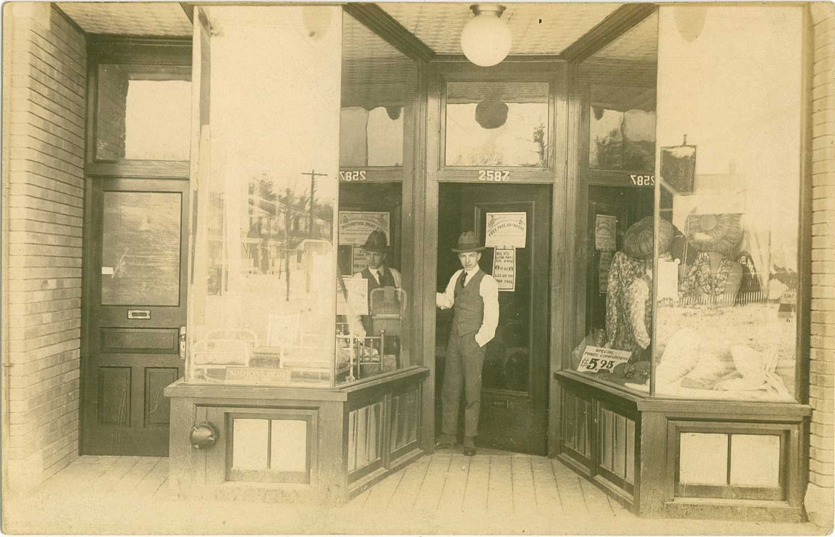
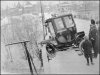
Nice hat!
Regards,
J T
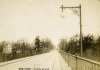
maybe that's still the current versionMaybe it's an earlier version of the Glen Road bridge.
It's the former Glen Road / Huntley Street bridge, when it was open to cars and connected south Rosedale to St. James Town.
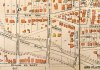
the pictures of the car wreck and historic map jogged my memory
the houses in the background look familiar, and i dimly recall trying to match them to a similar old map, in a thread here on UT somewhere
my memory has had enough jogging and wants to lie down
Not the current version, because the pictured one is more "trestle-like", while the present version's more of a leaping steel arch thing (when was it built, I wonder?)
Also, a railway trestle wouldn't have genteel globe lights.