Goldie
Senior Member
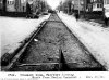
Evelyn Crescent at Fairview Ave. 1900

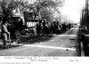
Evelyn Crescent 1954

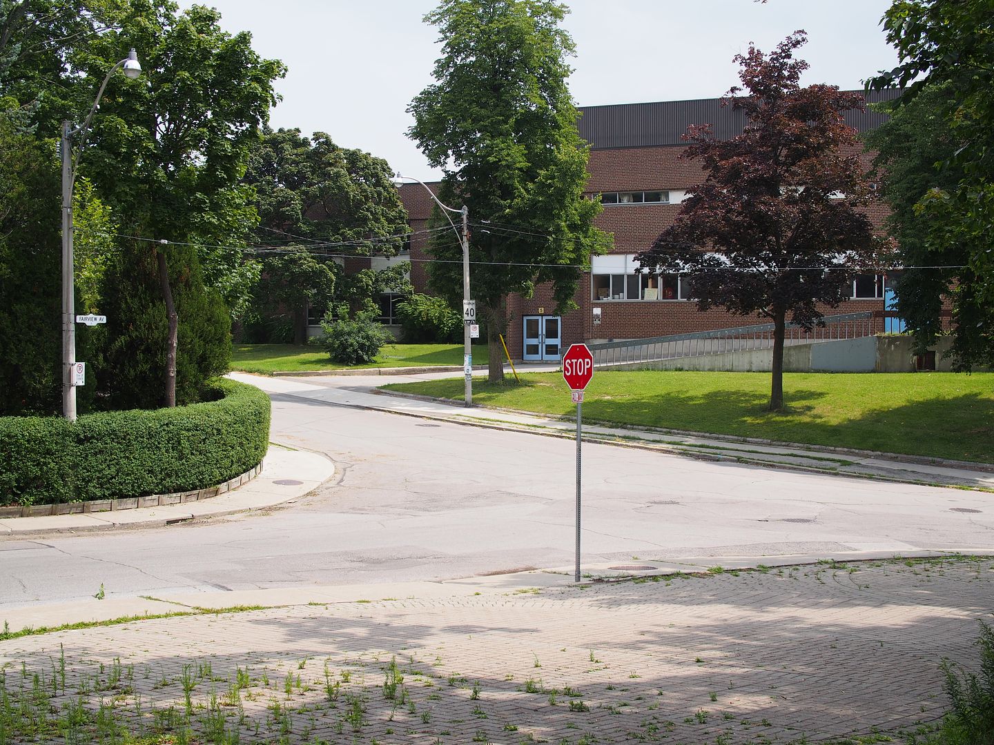
Evelyn Crescent 2014 - Western technical-Commerce

Evelyn Crescent 1954
Evelyn Crescent 2014 - Western technical-Commerce


") , I had this location as a Then and Now in the rotation to come up but Goldie beat me to it. Here is my Now. Not sure of the 'value add' to the knowledge here, but here is the Now pic I took this past July:
, I had this location as a Then and Now in the rotation to come up but Goldie beat me to it. Here is my Now. Not sure of the 'value add' to the knowledge here, but here is the Now pic I took this past July: