


Goldie
Senior Member
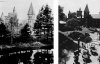
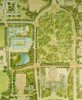
Playter estate in the Danforth-Broadview neighbourhood:

|
|
|
Playter estate in the Danforth-Broadview neighbourhood:
Goldie, that first - the oldest picture - is amazing.
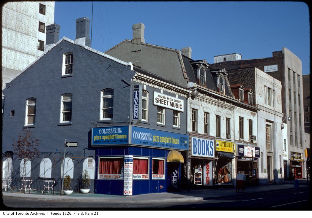
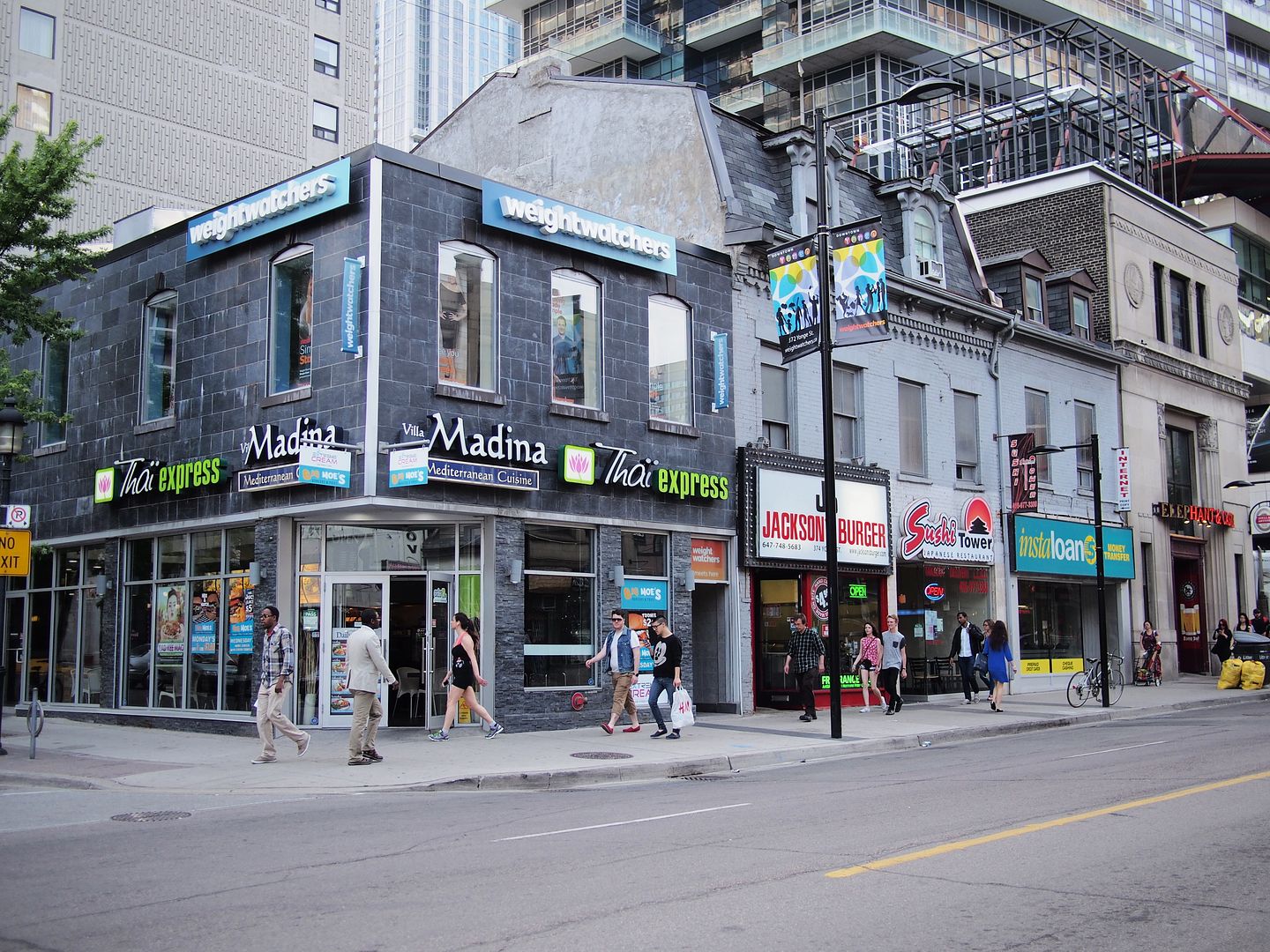
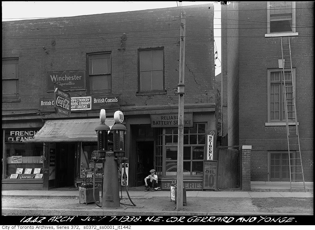
Then. N.E. corner of Yonge and Gerrard. July 7, 1938.
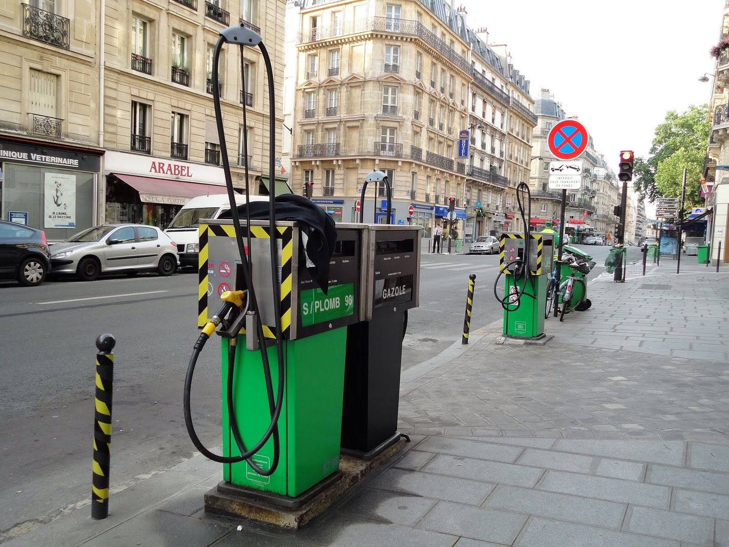
When did the last "sidewalk pump" in Toronto bite the dust, I wonder...


BTW, one sees sidewalk pumps all over Paris. Urbanistically, they're a great idea.