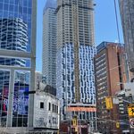
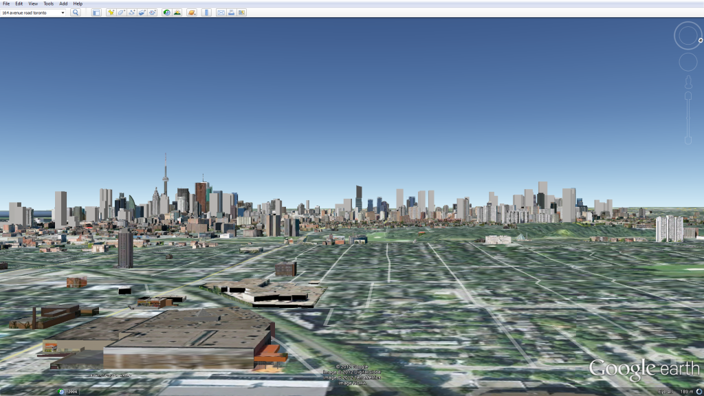
basic model of almost all future buildings for down-town Toronto done: many more obscure ones still to add. I uploaded them to Google earth, and, viola!
Nice work innsert. Quartz and Spectra are two fairly prominent ones that could be added along with library district condos to fill in the left foreground of your first screenshot
hey innsert, do you mind showing an up close view over looking just the "downtown south" part. I'm curious to see how all the proposed developments fit into the area?
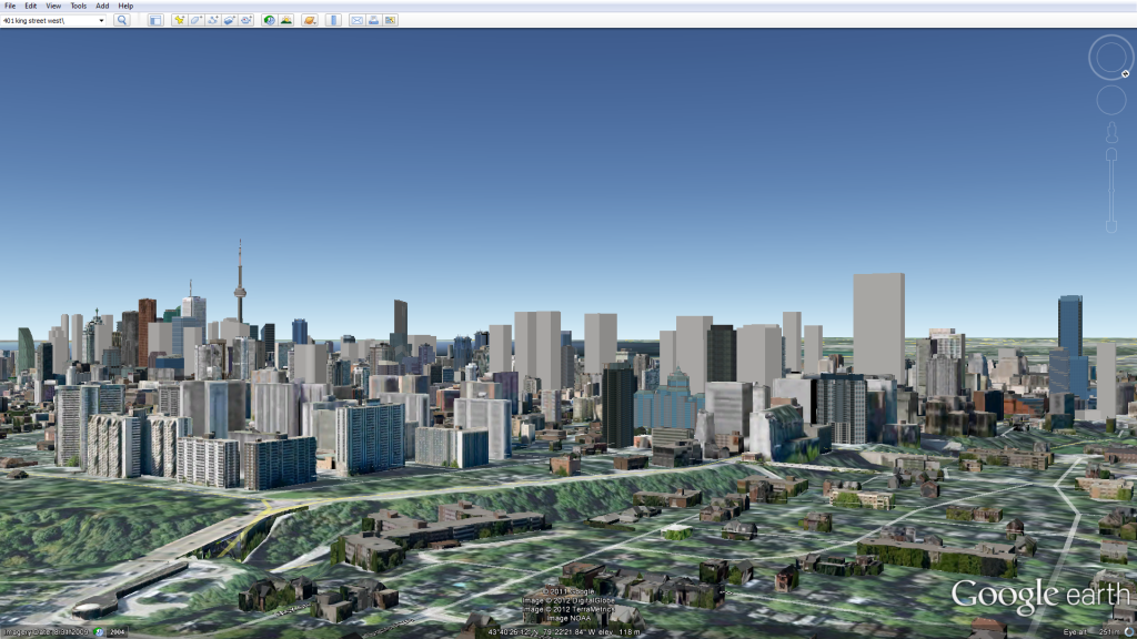
some updated renderings with a lot more buildings. still missing Mars II, the twins where the hilton garden inn is, and the old sapphire site.. whatever is going there. any more suggestions would be appreciated! One Bloor and Aura do not take into account their recent floor additions.
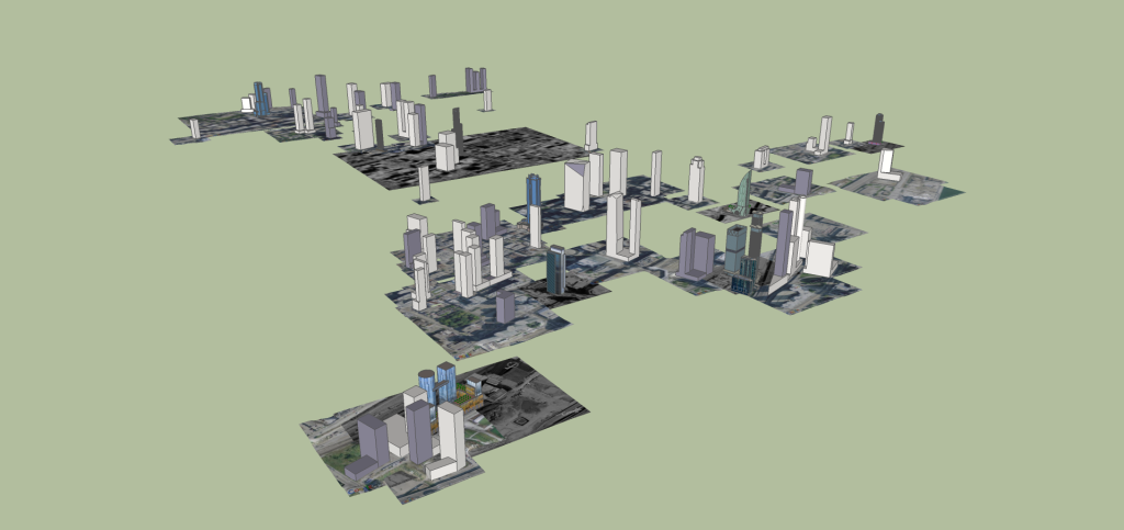
a pic of the model in sketchup, to show the sheer amount of construction going on in this city.
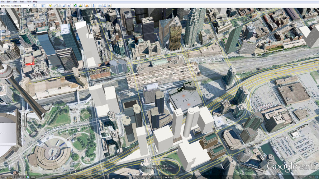
a closeup of southcore:
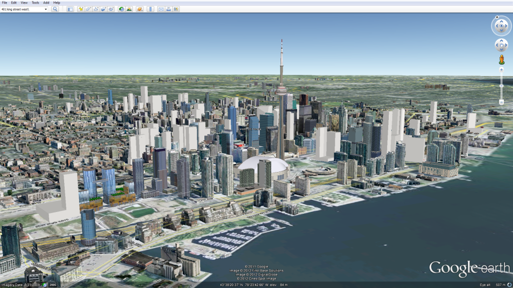
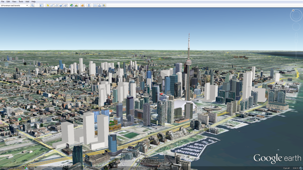
what future toronto will look like from NPS: (I'll do this again with the canada tower in it)
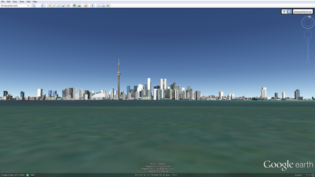
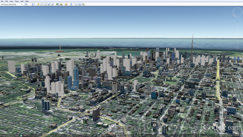
one of the old views but with cityplace filled in:
I use google sketchup. i first locate where the building is, then take a "snapshot" from google earth of its location. I then make a model of it. then upload it to google earth! the first picture in my last post shows it in sketchup with all the geolocation pictures in it. (thats what it looks like when I'm making it)
Red = proposal
Green = U/C
A bunch of constructed buildings such as Pantages and Spire were missing so I tried to ad those that I noticed. Also I'm sure I missed a bunch of U/C or proposed buildings. This view shows everything within front to Bloor, and Jarvis across to University. Most of the red is just massing.
If you see something missing, please let me know. Also I'm not putting in any speculation proposals.
love the shift of attention that Yonge Street is gonna get with all these upcoming proposals.. i even forgot about the 150m bay street canyon for a second there!
These are simply amazing, I had no idea Google Earth could let you do so much with one snapshot. Enjoyed watching these future models. This is what GTA needs!