


Goldie
Senior Member
Perhaps we should have a thread dedicated to Leaside (and its airport, too).
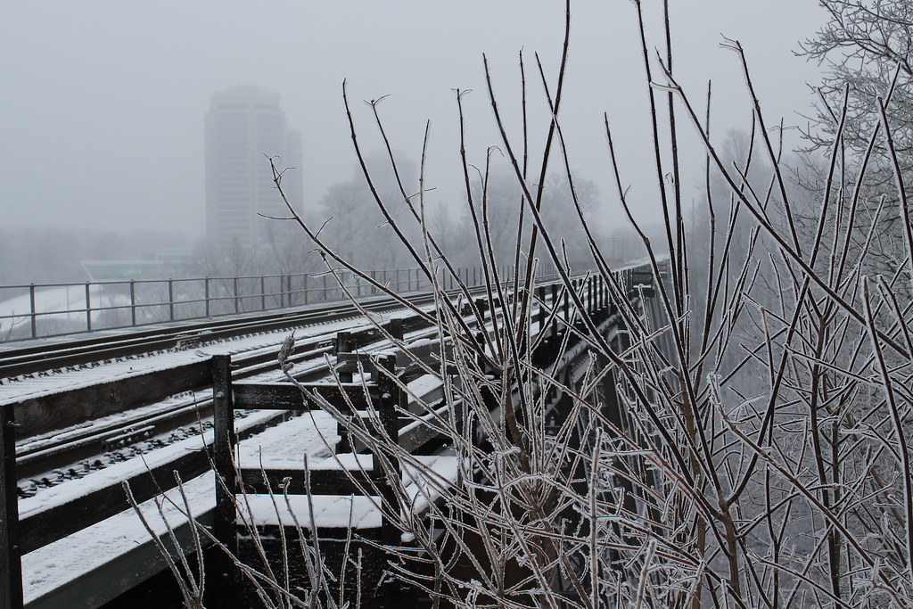
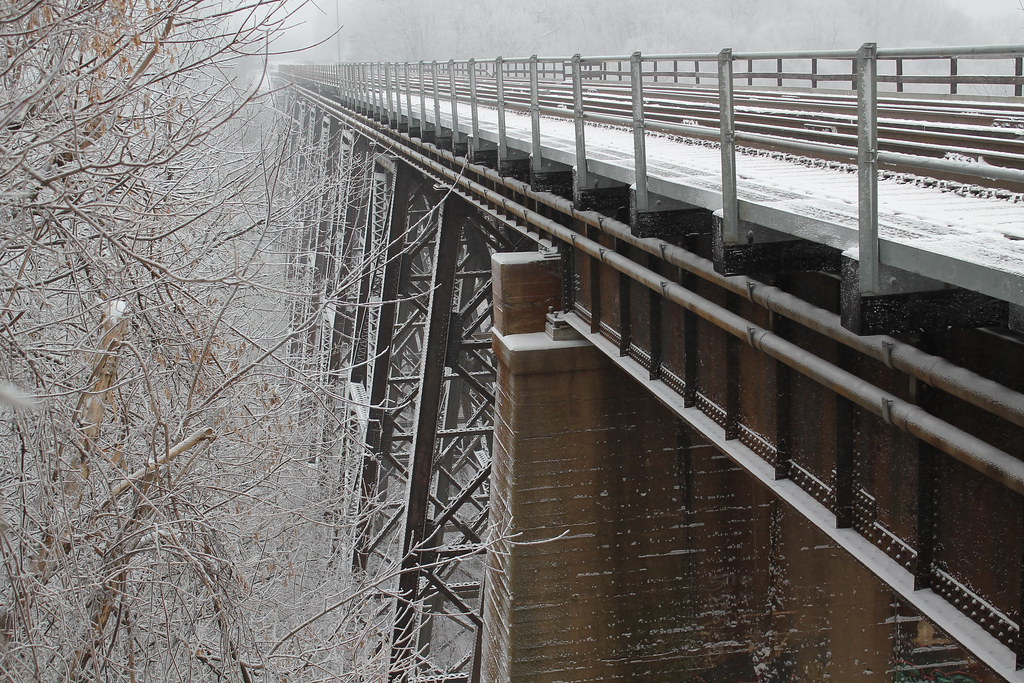
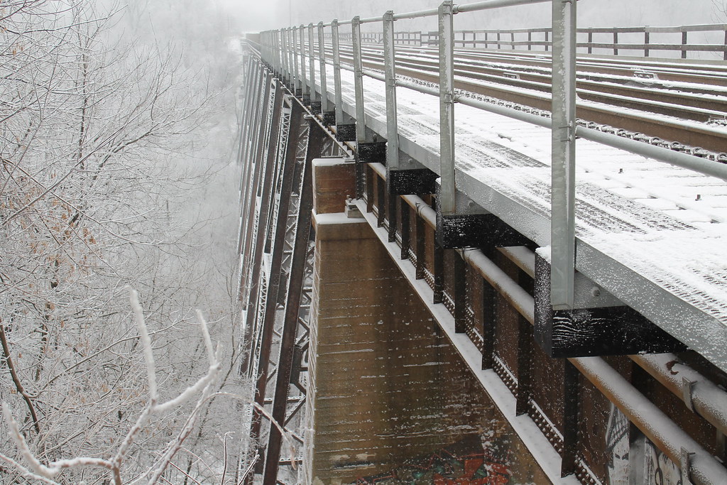
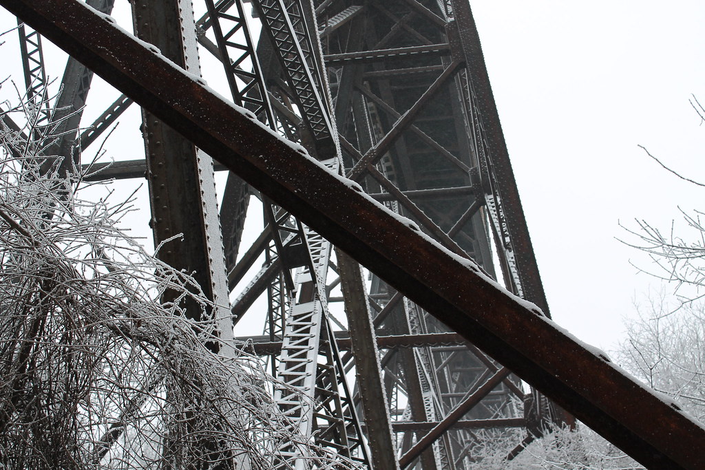
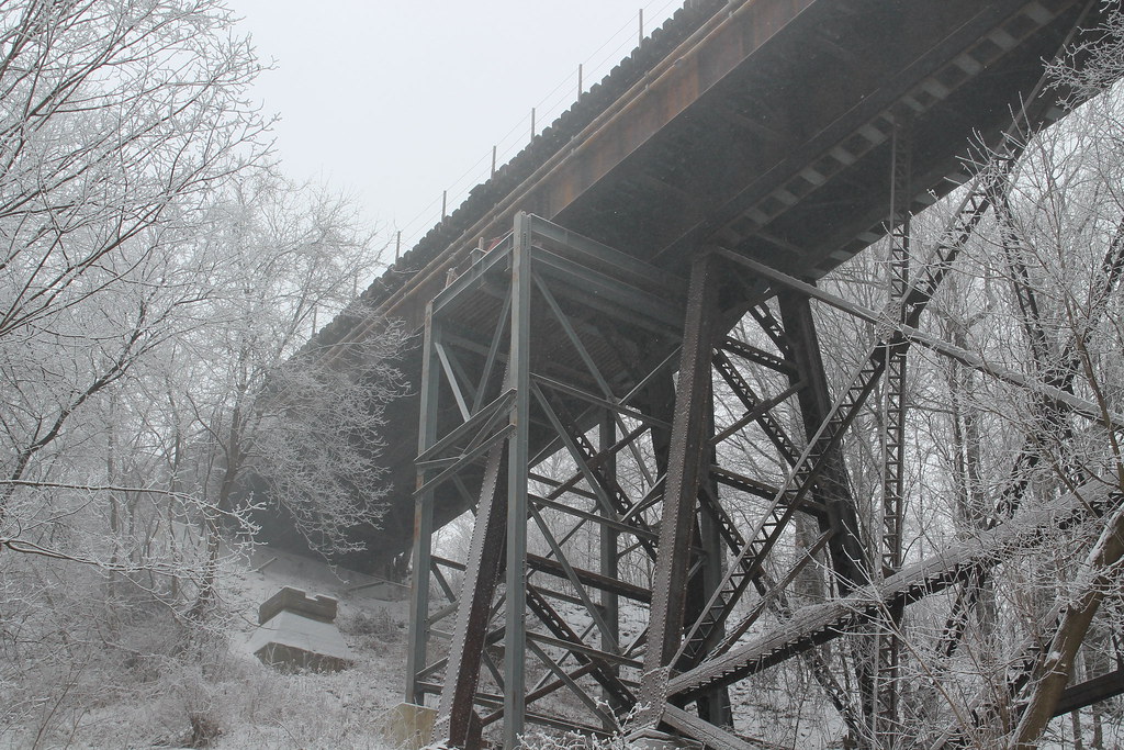
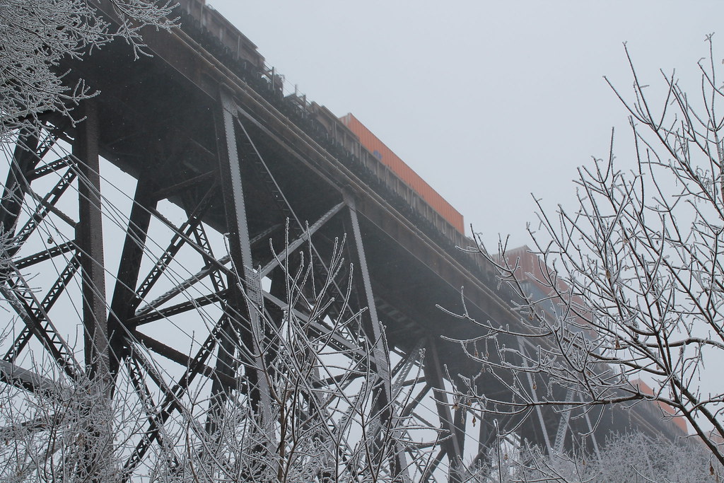
This historic bridge (to be found today at Eglinton & Leslie), built in 1884, may have been the only sign of civilization (other than farms) in this area 127 years ago.

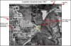
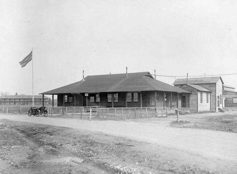
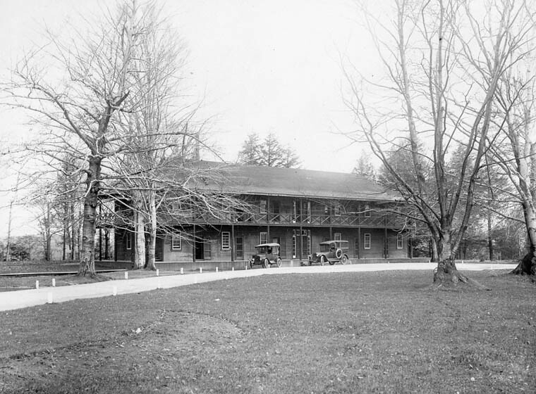
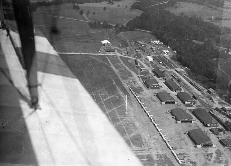
And the history of the Leaside Aerodrome leaves much to be revealed.

This historic bridge (to be found today at Eglinton & Leslie), built in 1884, may have been the only sign of civilization (other than farms) in this area 127 years ago.
And the history of the Leaside Aerodrome leaves much to be revealed.
Last edited:


")