Mustapha
Senior Member
I still have a box of band aids from that Tamblyns that I haven't used up.
|
|
|
are you also doing the southwest corner? that one oughta be good, plenty of "then" pictures aroundThen and Now for February 5, 2013.
are you also doing the southwest corner? that one oughta be good, plenty of "then" pictures around
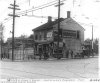
") I used 'st clair yonge' as a search term at the Toronto Archives. Came up with a picture of the southwest corner showing 'Sellers Hotel'. I'll take a Now pic when I go up the Yonge subway to my parents - get off at St. Clair as a little side trip - and take an opportunity to also stop at the nearby Book City on Saturday.
I used 'st clair yonge' as a search term at the Toronto Archives. Came up with a picture of the southwest corner showing 'Sellers Hotel'. I'll take a Now pic when I go up the Yonge subway to my parents - get off at St. Clair as a little side trip - and take an opportunity to also stop at the nearby Book City on Saturday.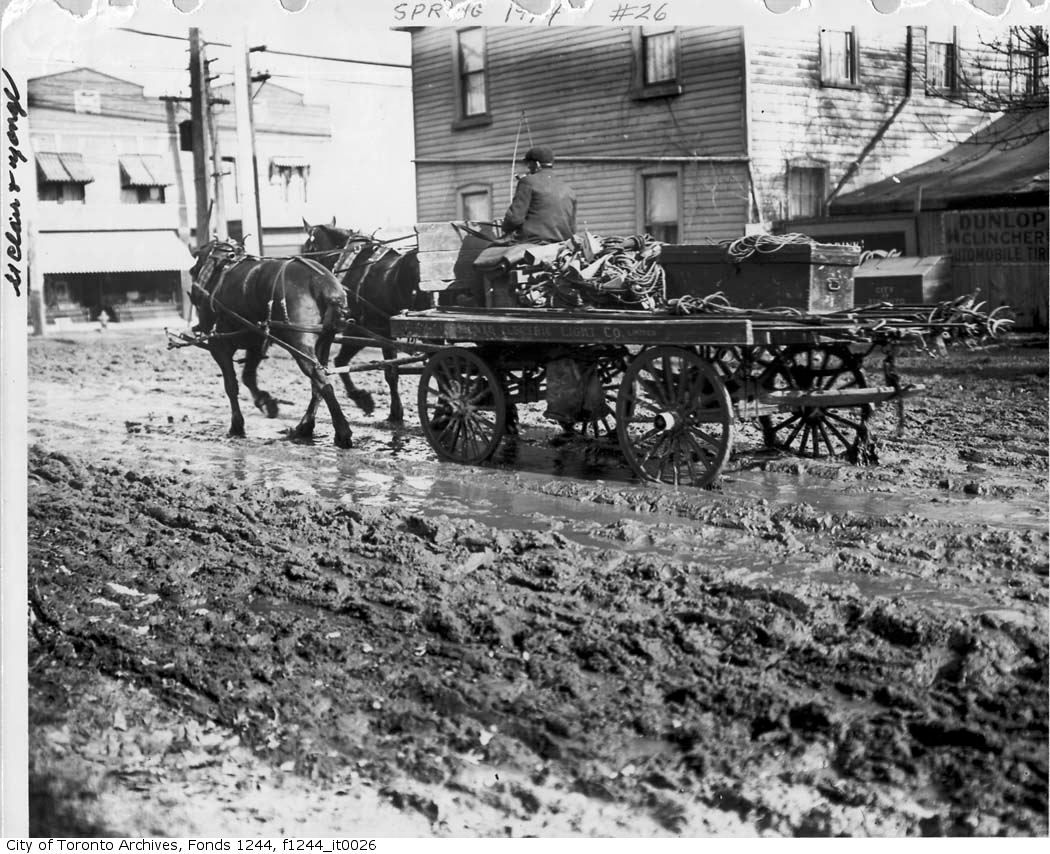
Then and Now for February 5, 2013.
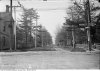
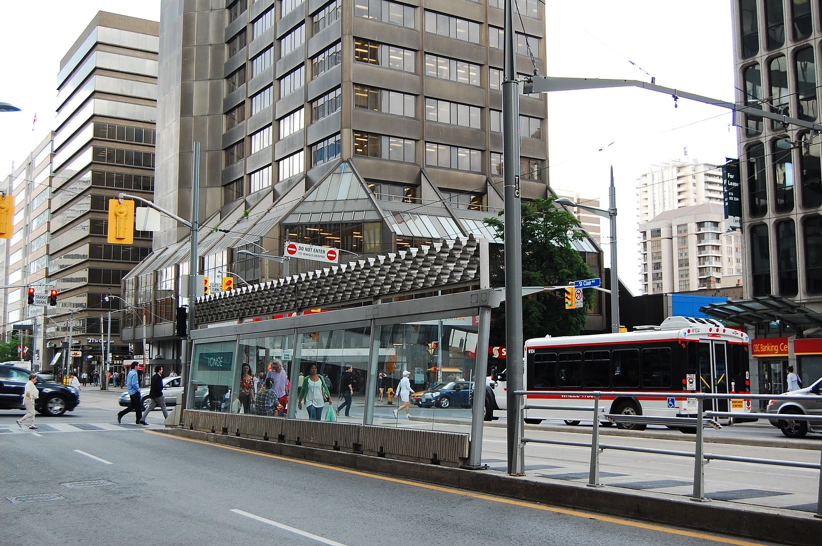
Later. Looking towards the SE corner of Yonge and St. Clair. c1970-ish, I'm guessing.
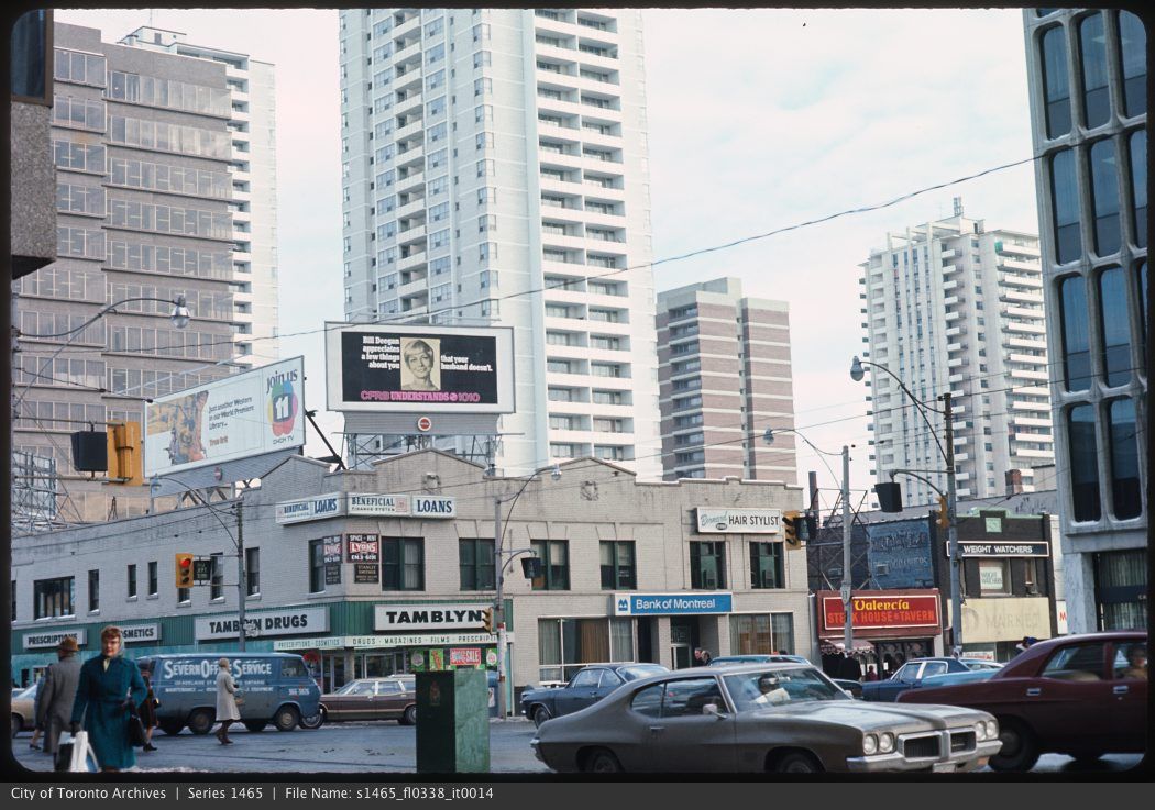
Now. July 2012.
i found two in the archives --Came up with a picture of the southwest corner showing 'Sellers Hotel'.


i found two in the archives --
sorry, i thought there were more
Then and Now for February 6, 2013.
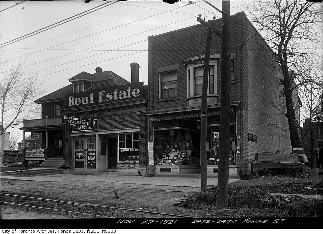
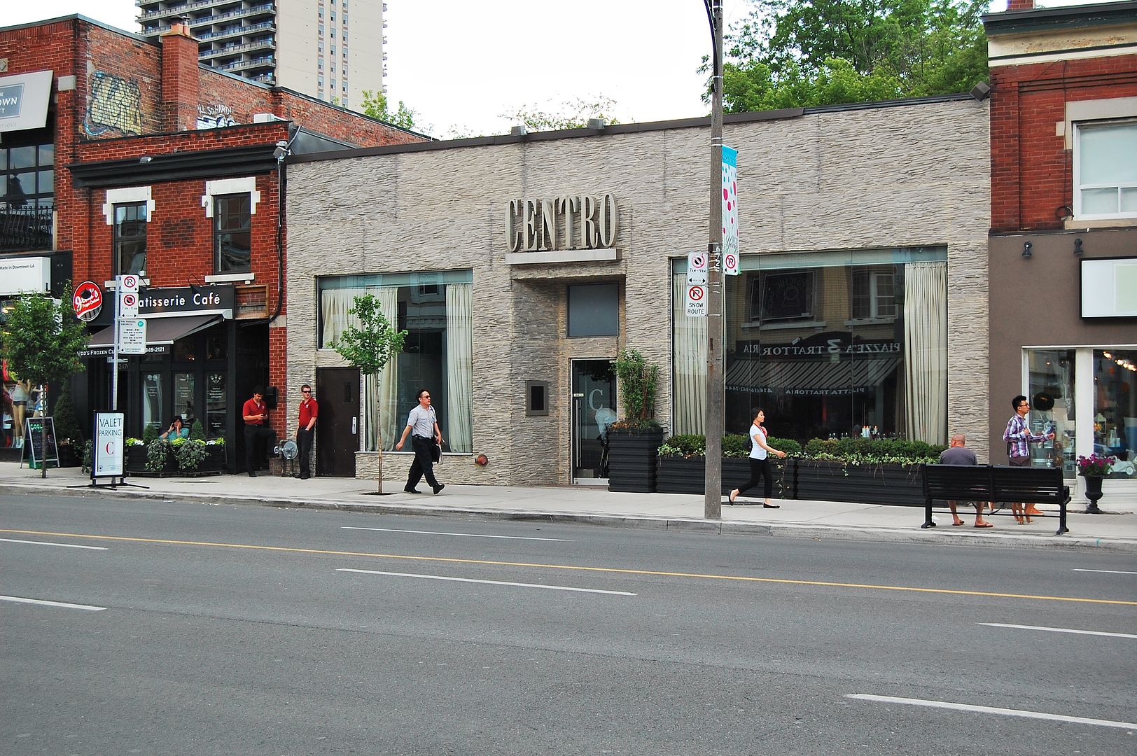
Then. 'Nov. 22, 1921. 2472 - 2474 Yonge Street.'
Now. July 2013. This is the west side of Yonge just below Castlefield Avenue. The Centro Restaurant is 2472 Yonge. I don't believe Yonge was ever re-numbered so I think this is a valid Then and Now.
i found two in the archives --
sorry, i thought there were more
sweetI found two more, attached.
My passion in life is to digitally record all of Canada's former and current electric railways using Google Earth. I have linked to the Toronto Archives with these photos in my map and I love seeing them turn up here from time to time. If I get permission I will post a link to my website for you all to see. These photos allow me to pinpoint stops and other physical properties of the Toronto and York Radial Railway who's tracks are featured in those photos.
Paul