adma
Superstar
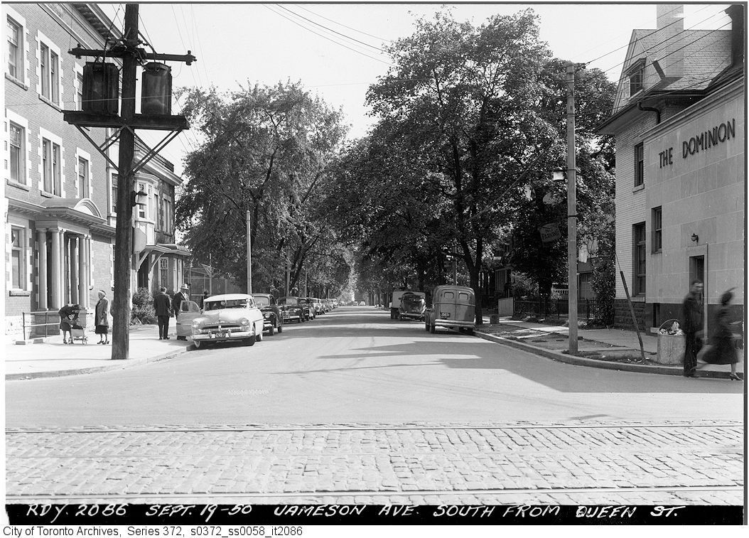
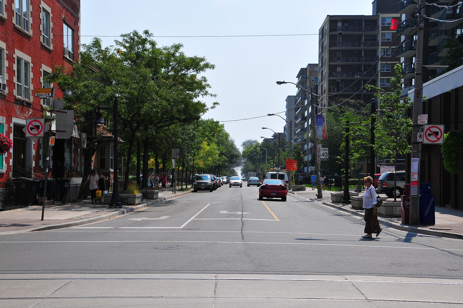
Unfortunately, unlike New York's Fifth Avenue, in which the 19C mansions were replaced by architecturally superb apartment buildings designed by some of the best architects (McKim, Mead & White et al) producing what is known in real estate terms as "pre-war" buildings, Toronto's intensification happened all "post-war", replacing architecturally interesting housing with the lowest common denominator versions of Modern design (cutting down the trees on most of these streets didn't help either).
On these streets the "Thens" will usually win over the "Nows" for those reasons.
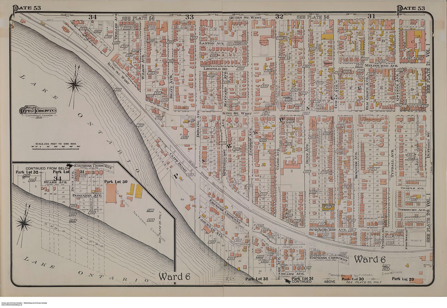
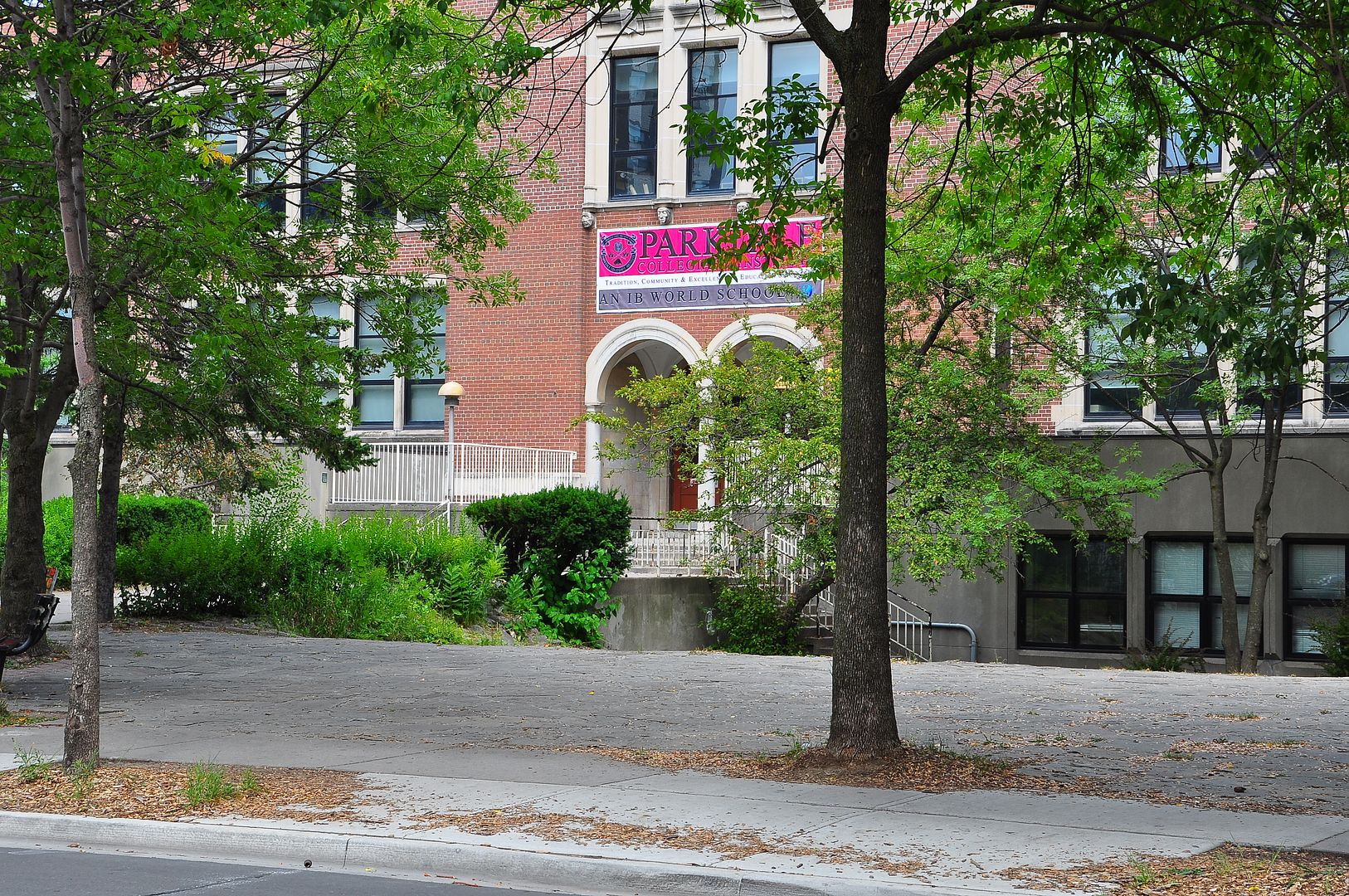
Though it may be unfair to paint everything postwar-apartmentwise with a dismissive "lowest common denominator" brush, as articles like this prove. But Jameson does rank lower on the denominator barometer than St George/Spadina/Walmer, or Avenue north of St Clair--largely because it lacked the adjacent prestige of affluent neighbourhoods or higher educational institutions. And Parkdale was already on a "tourist home"/rooming-housey downward skid even before the teardowns. Thus if the apartments along Jameson look quick'n'spec'n'cheap--they are; and the context which already existed allowed it all to take place. Of course, it didn't help things later when deinstitutionalization led to Parkdale becoming "bachelorette"/group-home ground zero, as the 999 Queen types gravitated westward...
") ]
]